How to: Go up, in and out of Kuelap…
Country
Kuelap is a Pre-Incan fortress located at 3.000m at the south of Chachapoyas. It was built by the Chachapoyas Culture in the 6th century.
Before going there I did not find enough information to clearly understand the logistics for visiting this place, now I can tell you how we did it.
From Chachapoyas you can take the paved road to Tingo and Nuevo Tingo, we decided to use an alternate amazing gravel road that passes by the town of Levanto, a place with long pre-Incan and Incan history where you can visit the Yálape archeological site.
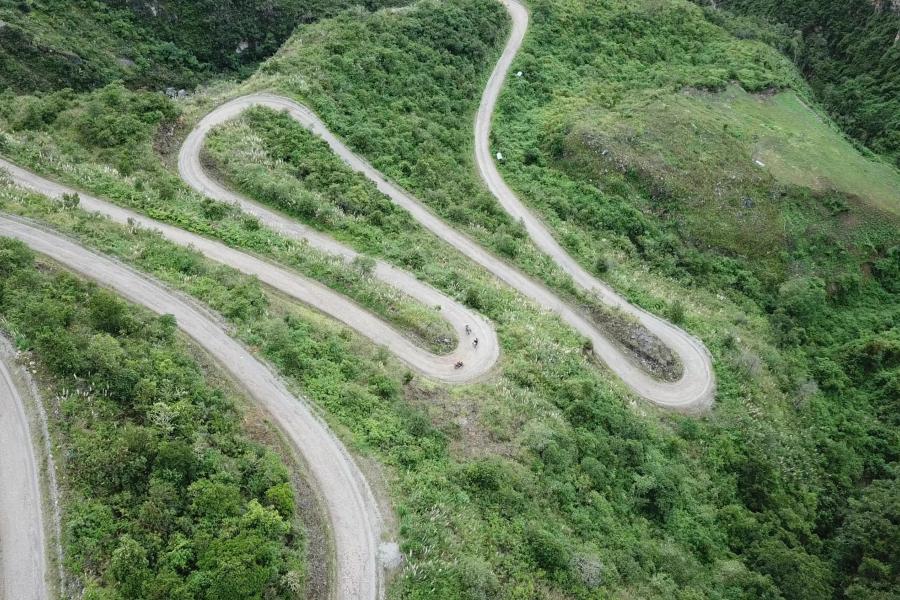
After 50km we ended in Nuevo Tingo, here you can take a cable car that takes you to the upper station or, as we did, ride the 35km beautiful gravel road (with a very steep cliff) to the town of Maria (where there are a couple of hostels) and then to the upper cable car station. There is a restaurant, a parking lot where we had to beg to let us leave our bikes overnight, some place for camping and the ONLY TICKET OFFICE in the area for the fortress, consider that if you arrive from Kuelap town (mentioned later) you cannot get the tickets to go in.
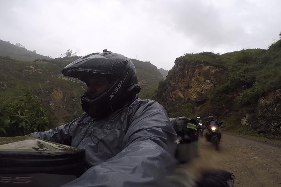
It was a bit late in the afternoon, information was not quite clear, with a heavy rain we decided to walk up to the fortress, 1.7 km of a well-built walking path with rock stairs, we arrived and the fortress was closed, we met a local guide that took us about 300m down a muddy walking path to “Hospedaje Imperio Kuelapino” a small, very simple and lovely place where we were treated very nicely and slept like babies (wet babies actually). About 200m down the hill (walking) there is the small town of Kuelap. We did not go there.
Next morning after an Inca breakfast, our friendly local guide arrived (he charged us 60 soles), we walked up to the fortress, enjoyed it for about 2-3 hours and walked down again to get our bikes.
What people normally do to visit Kuelap is to take the cable car, walk up to the fortress with or without guide and go down. What we did was surely much nicer.
Now how to go out of Kuelap´s top cable car station on 3 bikes or a car? You can take the same road we took to get in or, take a road that is not in the map and that needed about 5 different opinions to be understood and somehow “trustful”.
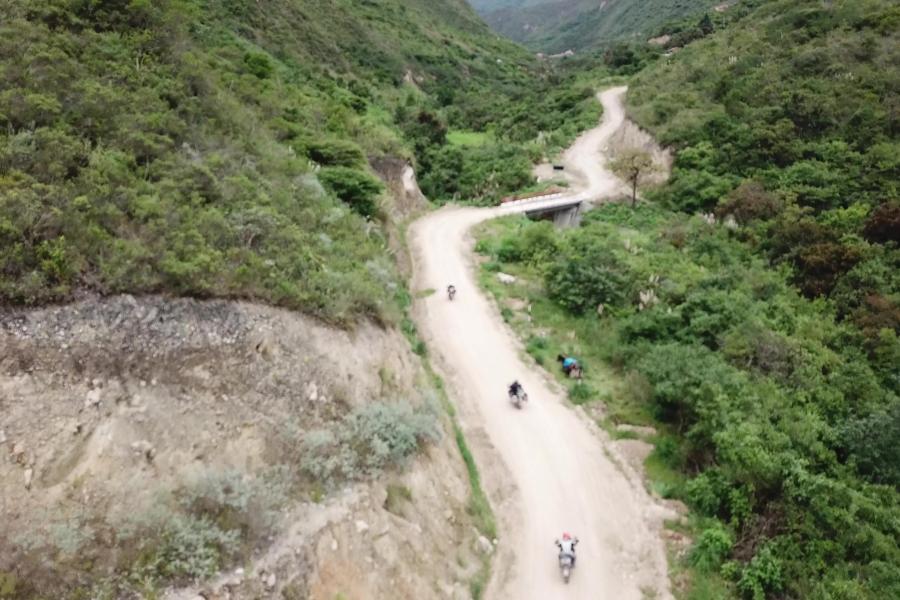
This is it, a couple of kilometers down, before the town of Maria, you turn left in Quisango and keep going towards Mangalpata, halfway Mangalpata you can turn left and after a small wooden bridge there is a brand new 6 months old road that connects to the road Kuelap (town) – Nogalcucho; you can see this 6km connecting road as a path in OSM maps, nothing available in Google Maps yet. It is an amazing gravel/sand road that for the moment might get a bit complicated in heavy rain. Enjoy it as much as we did.
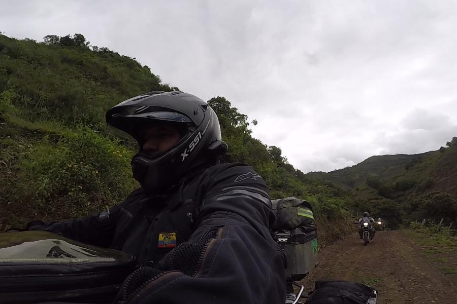
We ended the day in the town of Leymebamba. Route PE-08B is a 1 ½ lane road, I would not say 2 lanes, requires absolute attention, later we will speak about 1 lane roads, that´s something else.
https://www.youtube.com/watch?v=MSkonU16t50


