A Quick Ride Through Bolivia
Country
Bolivia
Having dropped out of the Peruvian Andes and arrived near the border crossing at Lake Titicaca, we were still over 12,000 feet above sea level, but that was nothing compared to the mountain-top roads which jeopardized successful passage. At more than one point in Peru we had encountered steep enough inclines at high enough altitudes to asphyxiate our engines, and with our throttles completely opened to their mechanical stop, all we could do is look on at the false-peak ahead and hope that 3rd gear could carry us over the top. If my memory serves me, my engine’s RPM reached a ceiling of about 4500 or 4600 RPM with nothing left to give.
Back to the Bolivia crossing, it was short and sweet… until it wasn’t. The official segment of the crossing went smoothly, quick 2x2 passport mugshots (I had left my photos at home), extra document copies, bank statements (silly that Bolivia of all countries requires proof of financial stability), proof of lodging/onward travel, and purchasing our Visa on Arrival for a mere $160 each (yes USD). Done. A local had informed us that we would need the last four digits of a number on our vehicle entry permits to buy fuel, a tip for which we were grateful.
This is when the fun started. Fifteen minutes into our route to La Paz we stopped to fill our tanks at a shabby roadside gas station. The attendants informed us that they could not sell fuel to foreigners, and that we should try another station. That’s when I cleverly showed my four-digit pin from my permit thinking that the issue would be settled. Yet STILL they refused to sell to us, claiming that we did not have the correct number! I had never heard of this being in issue in any Bolivian ride reports, so I was completely speechless. Since we were only fifteen minutes from the border, we sped back and brought the issue up with the customs officials. The official went on and on about some national agency that handles this, that, and the other regarding the pin numbers for buying fuel. Clearly travelers did not need a special account to purchase fuel! As I left the customs building in complete confusion, a man standing outside that had overheard the conversation stopped me and explained that foreigners can only buy fuel from certain stations, and that foreigners had to pay DOUBLE the price!
We decided to ride ahead and try our luck at another fuel station. The attendant took my four-digit number, license plate number, and entered my country of origin as “Argentina”. Great job on data entry. As it turns out, Bolivians get fuel at a fairly low price, so double their price was along the lines of what we had already been paying. No harm, no foul. During our time in Bolivia we would only find one or two additional stations that would not sell to us, so it did not turn out to be a big issue in the end.
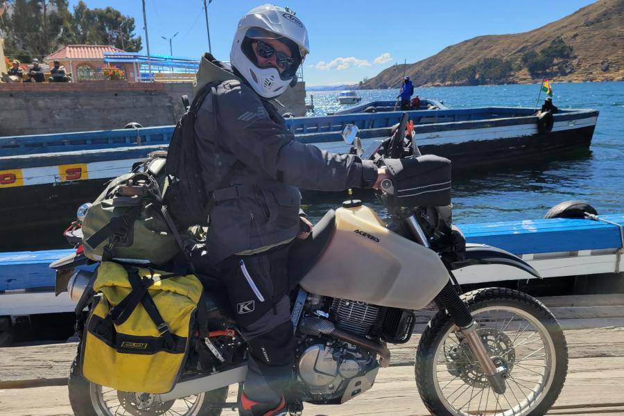
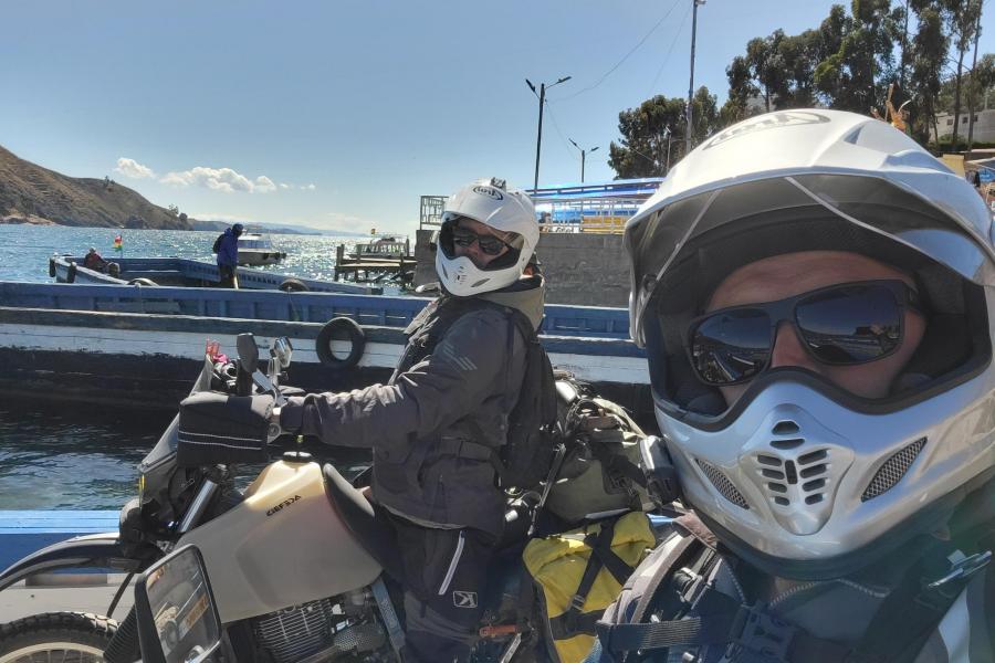
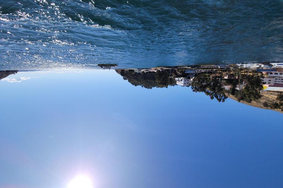
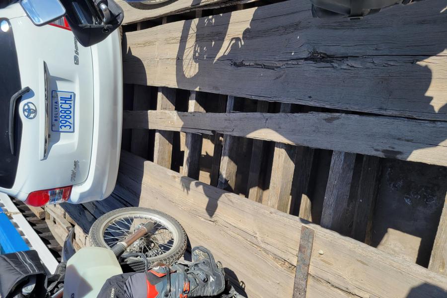
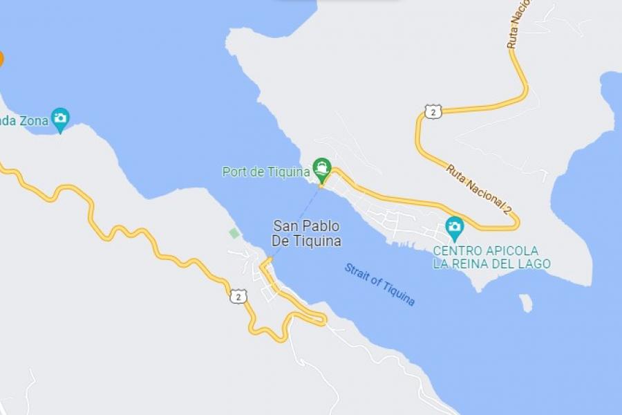
After crossing the border, the next step was to cross the Straight of Tiquina in Lake Titicaca via ferry. More like giant Huck Finn rafts with motors, these “Ferries” ran constantly back and forth across the Straight, allowing for a faster crossing than having to drive around the giant mountain lake. The decks of the ferries were a couple of planks of wood forming paths for tires to sit on. They were uneven, rotting, and filled with holes that led directly to the bottom of the hull, so we needed to be extra careful when placing our kickstands and our legs. Like everything in this section of the world, they LOVED pushing the limits of the ferries. In attached photos you will see cargo trucks being carried across the Straight on one of the ferries. They also carried tour buses in others. Obviously, the ferries were able to perform the task, but watching them cross the Straight leaning forward or aft was quite a sight. Thankfully the water was fairly calm, as there was no means to secure the bikes to the deck. We had to hold them to prevent them from tipping while underway, which was only 15 or 20 minutes. When reaching the opposite shore, the ferries pitch upward against the shoreline, making rolling the bikes off a difficult task, especially at over 12,000 feet, where Mike and I were struggling to breathe in the thin mountain air. It was an exhausting effort, but we were able to get the bikes offloaded and be on our way, soaked in sweat, in only a few minutes.
Bolivia was a very important milestone. The country is home to North Yungas Road, aka “El Camino de la Muerte”, aka “The Dead’s Path”. Quite possibly the most famous of all “death roads”, North Yungas has been given this nickname for good reason. Before a new highway was constructed to bypass the road, it was estimated that the road claimed 200-300 lives EVERY year. Copy and paste link below: (https://www.dangerousroads.org/south-america/bolivia/44-death-road-bolivia.html#:~:text=It's%20estimated%20that%20200%20to,this%20road%20at%20all%20costs.)
This was the main reason for entering Bolivia at all, and I had to be sure to complete the route. Hell, we even made sure to have fresh tires for it.
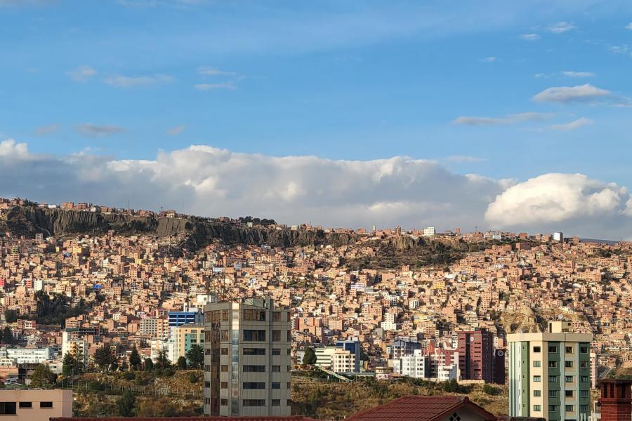
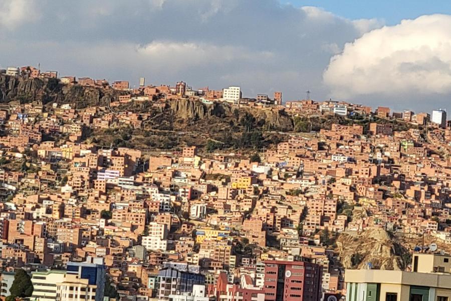
Before we could play around on The Dead’s Path, we had to reach La Paz and rest up. La Paz is a congested, noisy city (nothing new here), but most importantly it was a mere hour and thirty minutes from the western end of The Dead’s Path. We had to book a couple nights in order to have time to wash our clothes, so it occurred to me that since we are staying so close to the route, we could book just one more night so that we could remove our heavy luggage, ride The Dead’s Path with our bikes nice and lightweight, and return to the hotel afterward to rest for another night! Brilliant! And so we did. We set out the next day for The Dead’s Path, filled the tanks and rode through the wintry hell until we reached the start of the route. It was cold and foggy, enough to make a normal person second guess riding on a normal road, let alone this one. However, we would be nice and warm on the route since you cannot travel nearly as fast as on the highway, and it requires more physical involvement to negotiate all the rocks, potholes, waterfalls, and so on. With luggage removed, the bikes were nimble and spritely. Before beginning, we aired our tires down to a mere 18 PSI (to hug the rocks better) and adjusted the front and rear suspension for more forgiveness.
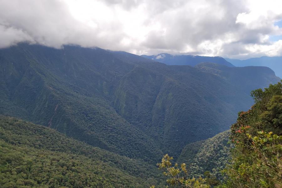
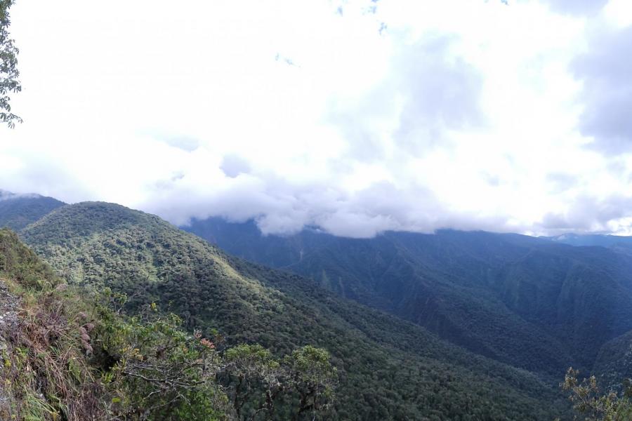
And we were off! Finally, I had started on the route I have dreamt about for years and had read of over a decade ago! There are lot of people who make the ride on mountain bikes through tour guides, so you must look out for them. People tend to stop for selfies in the most ridiculous spots, particularly after blind turns and just over the tops of hills. We took a few photos, but nothing that competes with what you can find with a quick Google search. More than document the route (which has been done ad nauseum) we wanted to ride it and live in the moment. I pushed myself to a “safe-ish” limit, enough to enjoy the ride, yet not enough to slide off the 1000-foot cliffs. Many of the areas had rocks too large to traverse with any great deal of speed, but others were more like hardpack dirt roads which I could stretch out all of 2nd gear and about half of 3rd on. Though there were some slippery rocks and narrow stretches, Mike and I agreed that from a “thrill” or “dangerous” standpoint, the Death Trampoline in Colombia offered a bit more to fear, what with all the traffic, landslides, deeper stream crossings and rougher surface. Still The Dead’s Path delivered excitement and a great experience. Little did we know that the hard part would be the ride back to the hotel, on smooth pavement.
The highway bypass started at a lower altitude where The Dead’s Path left off. With unloaded bikes we were able to power across the smooth pavement through all the windy corners we could handle, leaning the bikes over and weaving effortlessly around obstructing traffic. Unfortunately, as we climbed back up into the peaks, the cold wintry hell that we had entered on had only gotten worse. Blinding fog, snow, wind, wet roads, and otherwise pure misery described the long ride back. My face shield frosting over, I had to open the shield and ride with only my safety glasses on, allowing my face to freeze. My fingertips were iced over, and I could no longer feel them. Cold stiff hands made operating the handlebar controls a near insurmountable task. Worst of all, temperatures this low reduces faith in the tires ability to stick to the road. The next hour would be slow, cold, wet, and painful. All one can do it hope not to slide off the road over the edge of the mountain or into the path of oncoming traffic. Peak after peak, valley after valley, turn after turn, we slowly made our way toward La Paz and descended back out of the mountains, gradually warming back to comfort just outside the city limits. All we needed after today was a hot meal and a few beers to take the edge off. This cold ride back to La Paz was easily one of the hardest segments of the entire journey so far.
With The Dead’s Path behind us, our main attraction in Bolivia was behind us. It was time to set our sights on Chile, taking us through more cold mountain passes before dropping us into the most arid of all deserts, the Atacama.
After leaving La Paz, having again battled the narrow, congested roads of the city, we were spit out onto Ruta 1 South which we rode until picking up Ruta 4 to carry us west to the Chungara – Tambo border crossing. The last stretch of Ruta 4 would again carry us to higher ground, which naturally included heavy, cold winds. At least it was dry this time, no fog or rain. The route did include some very nice scenery; however, low cloud ceilings in the mountains, lunar landscapes, and small canyons carved through the ground on either side of the highway.
The border crossing into Chile was complete with the seemingly endless line of semi-trucks waiting to cross, so we again found ourselves riding in the oncoming lane for miles in order to pass them all.
We said goodbye to Bolivia and parked at the Bolivia/Chile shared immigration and customs office.
Included are photos of La Paz (better photos vis Google search), Straight of Tiquina crossing, The Deads Path (follow link in the text for better images and more info).

