Peru-The last bit
As we left Nasca behind, we also left the sunshine. Approaching the coast, we rode into a grey fog, which I was hoping might just be some early morning sea mist, but the weather worsened as the day went on, and at around lunchtime, the deluge beganAs we left Nasca behind, we also left the sunshine. Approaching the coast, we rode into a grey fog, which I was hoping might just be some early morning sea mist, but the weather worsened as the day went on, and at around lunchtime, the deluge began.
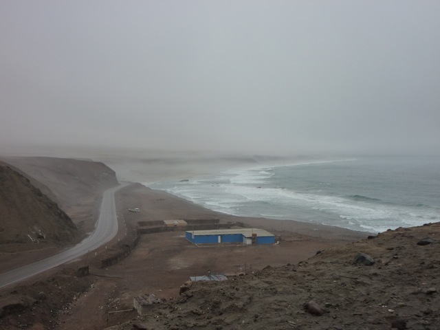
It was like Big Sur all over again. The rocky cliffs to our left were crumbling as we rode past, dropping loads of rock all over the road. Our pace once again slowed dramatically as we negotiated the wet, slippery road, trucks came hurtling past us, often on the wrong side of the road, the rain began to seep into our waterproofs, and the visibility dropped so much due to the rain clouds that we were riding through, that I could barely see more than a couple of meters in front of me. Still, Jacquie and I rode on, in high spirits, looking forward to a break in the weather, which we knew would come sooner or later. Unfortunately, it was later, but that just made it all the more welcome when it did finally come.
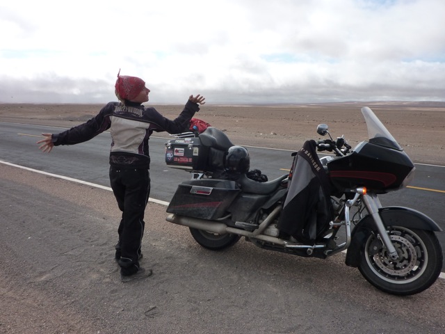
Jacquie dancing for joy at the end of our 7 hour rain ride
After 7 hours of riding, the sun came out and we pulled over to strip off our waterproofs, and had a celebratory jig by the side of the road, courtesy of Mr. George Michael on the radio of the Harley.
We rolled into Arequipa just as the sun was setting, found ourselves a cheap room, and went for a walk around the city.
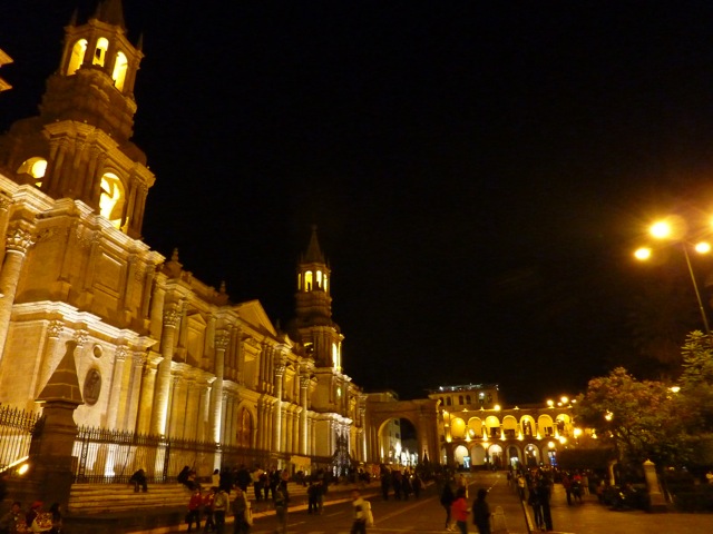
Arequipa was the first beautiful city we had seen since leaving Ecuador; we had started to think that all of Perus cities were ugly and characterless. Brick buildings lining dirty streets made up most of the towns, and Arequipa was a very welcome change.
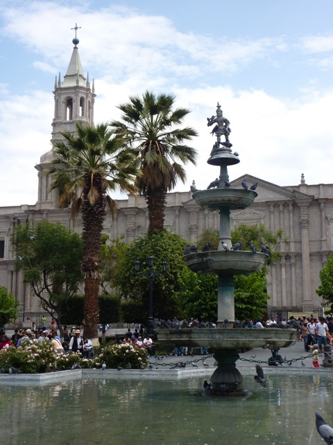
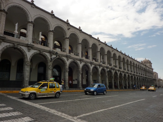
We spent only one night in Arequipa, we had a walk around the city in the morning, and decided we had seen enough colonial cities, and pretty as it was, decided to leave Arequipa behind and head on to our next stop on the way to Cusco, the lakeside town of Puno.
PUNO
We had a glorious ride through the mountains passing beautiful lakes, with wild Flamingos picking their way along the shores, until we arrived at Puno, on the shore of Lake Titicaca, the highest navigable lake in the world.
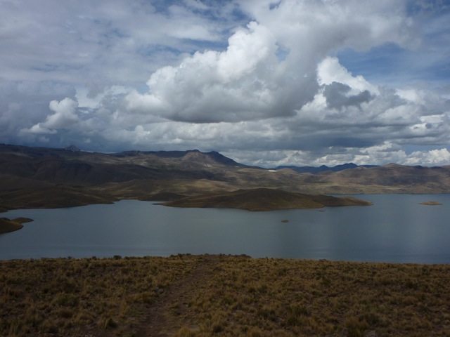
One of the lakes on the way to Puno
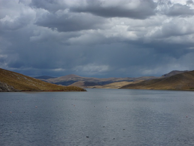
Flamingos and ducks share the lake
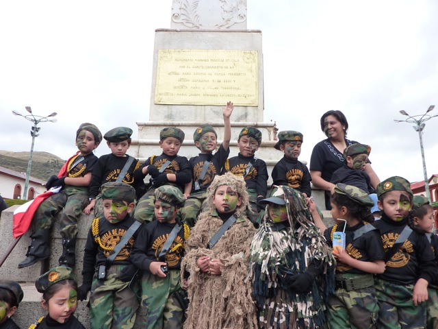
The Peruvian Under Age Army
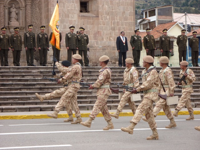
We were treated to a military parade in Puno
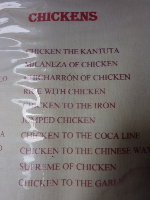
How do you like YOUR chicken? "Chicken to the Iron" or "Jumped" ?
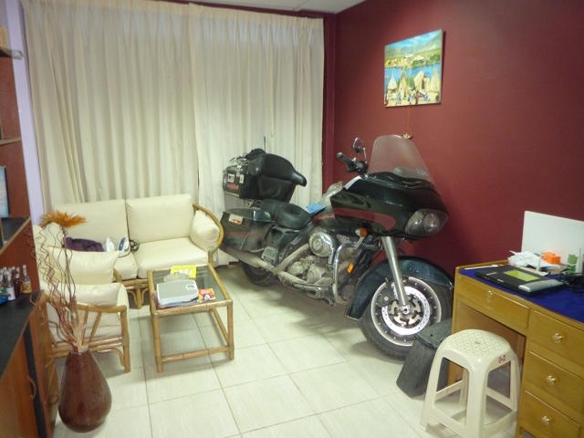
Every living room should have a Garth
Puno itself was another unattractive city, but the attraction was the lake, and it was gorgeous. We booked an excursion with our hostel, and were picked up at 5am by a minibus to take us to the boat that would take us to the floating islands and on to Taquila.
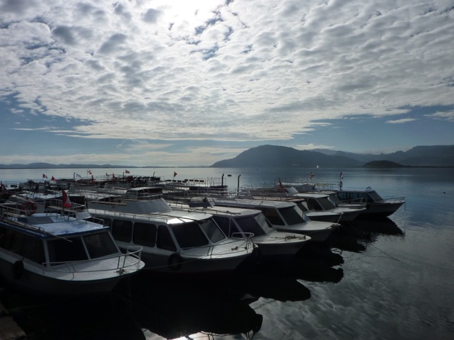
Boats ready to take busloads of tourists out on Lake Titicaca
After driving around for what felt like eternity picking up other tourists from their hotels, we arrived at the port and were ushered onto a waiting boat, where our over enthusiastic guide gave us her well rehearsed spiel on the upcoming trip, and told us the correct way to pronounce Titicaca-not Titicaca, but Titicaca
we couldnt hear the difference, no matter how many times she repeated herself!
We set off from the dock and were again bombarded with non stop useless and uninteresting facts about the lake, its islands, and its inhabitants. We were on the worlds highest lake, 284 m deep at its deepest point, and has a surface area of over 3,800kms.
The inhabitants of the floating islands make the islands from reeds, and live for free, and there is no land tax on home made islands.
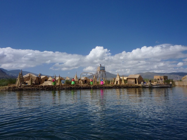
One of the many floating islands on lake Titicaca
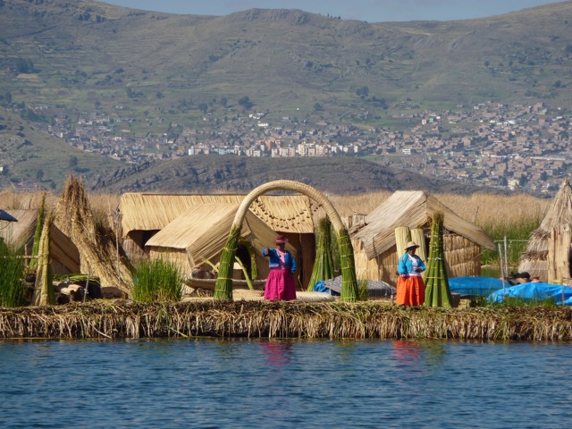
The islanders waved us over to their island when they saw our boat approaching, and greeted us with songs when we landed . It was all very touristy, but also a very different experience. The islanders used no money, but instead used a barter system for trading with each other, but the cash brought in by tourists help them buy other essentials, like mobile phones!
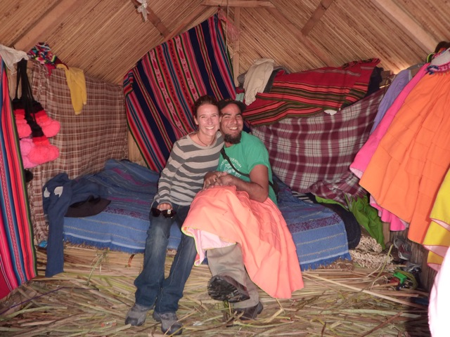
Inside one of the islanders' houses
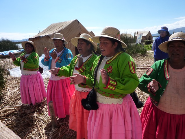
Being serenaded off the island
We had a wonder around the tiny but interesting island, and then were sent on our way with more with local songs, and renditions of Row, row, row your boat and Vamos a la playa in a cringingly well-choreographed way.
We hadnt realized how far away the next island was, and when we were told it was over two hours away, we settled in for a kip.
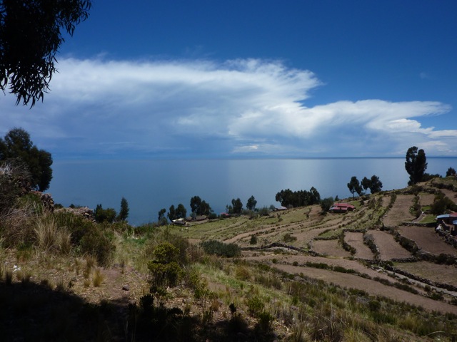
The view from the top of Taquila
We arrived at the island and hiked up to the centre of the town, at the crest of the islands tallest hill. We were in for a treat, we had arrived on election day when the islanders elect their leaders for the coming year. There was a huge turnout in the main plaza, all the islanders in their Sunday best, and after the speeches and voting, the beer came out and the drinking began.
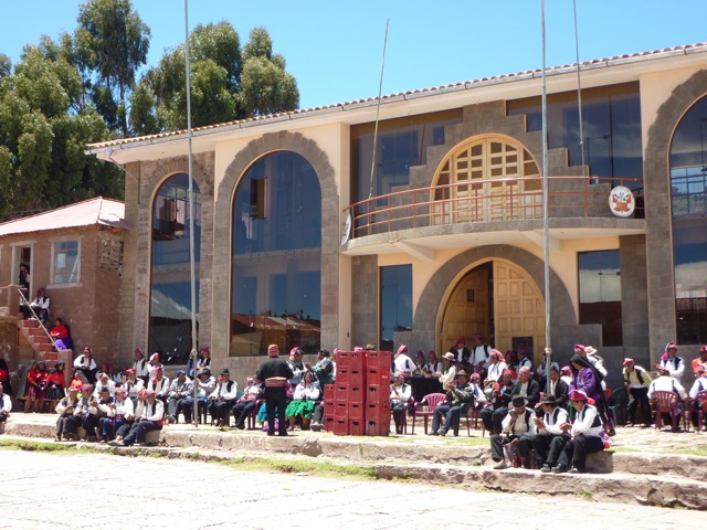
The islands' elders at the annual election, with crates of beer ready for after the speeches
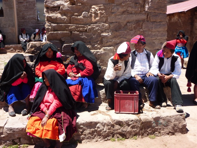
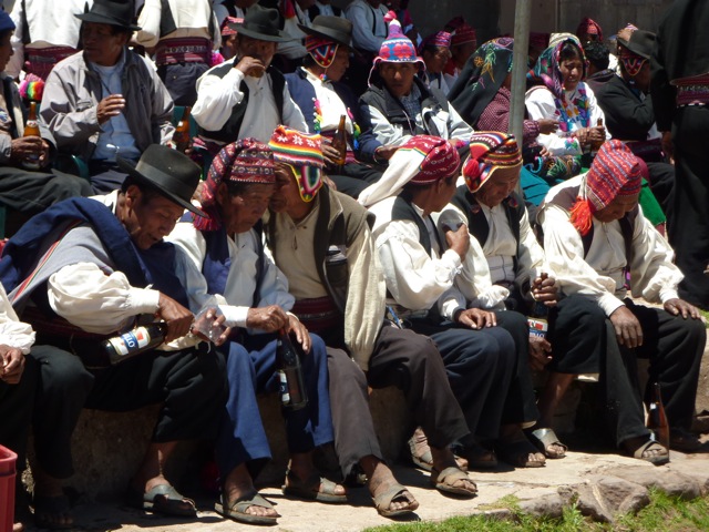
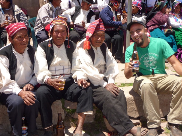
The elders were very welcoming and interested to meet us and hear our stories, and share their beer. We hung around chatting and gesticulating until we were called away by our guide for lunch. I was so happy we didnt do these sorts of excursions often.
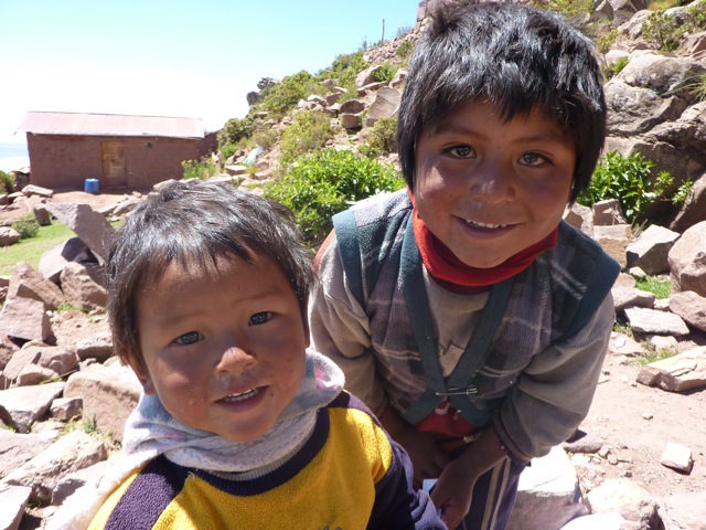
Some inquisitive local kids....for once they didn't want money for the photo!
We ate in a small restaurant, perched on the side of the hill, with breathtaking views over the lake, and then made our way back down to the boat for our return journey.
