South to the USA
The Route; Part 1; Stage 3; From The Artic Circle to The US Border
The Route; Part 1; Stage 3; South to the USA
So Far I would have travelled about 5000 miles, 750 around Nova Scotia, Newfoundland and Labrador, and 4250 across Canada to Inuvik. Now I have to travel south to the USA.
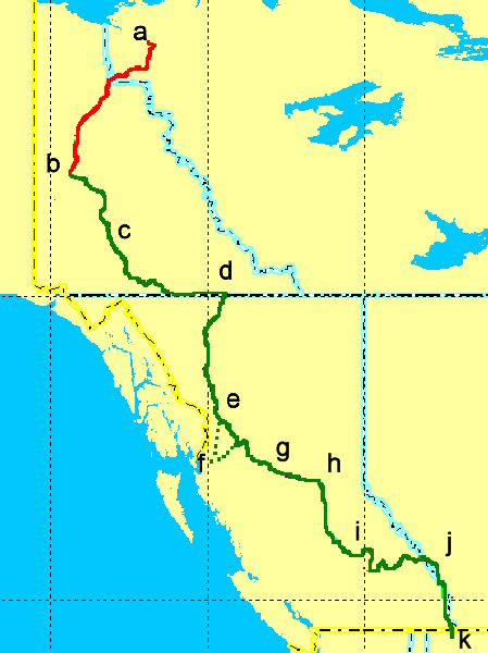
The first part is back down the Dempster Highway from Inuvik (a) to Dawson City, (b) Camping along the way as previously. Then back down Hwy 2 Crossing the Stewart, Pelly and Yukon Rivers, camping at Fox Lake (c) south of Carmacks. Skirting the Yukon, BC boarder and heading east, I shall arrive once more at Watson Lake (d) before parting from roads I have travelled on and heading South through the mountains towards Dease Lake, camping 300 miles later at Bowser Lake (e) in BC.
Dease Lake
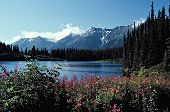
Oh oh ..another view of Dease Lake
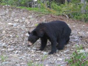
Wheres my pepper spray???
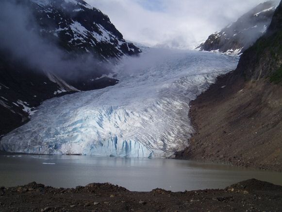
About 60 miles south there will be an opportunity for me to take a 200 mile detour to visit the Bear Glacier (f) near Prince Rupert on the West coast of Canada, and I will probably take the opportunity as I plan to visit a similar one in Chile and it has a certain feel of symmetry about it.
Never the less I shall still pass through Kitwanga, Smithers and Houston (not the Texas one!!) and camp at Decker Lake.(g) With all these lakes around its a shame Im not a fisherman really. Still in the Mountains I travel eastwards for a short days riding of about 150 miles to Prince George (h) where I can have a few extra hours R&R
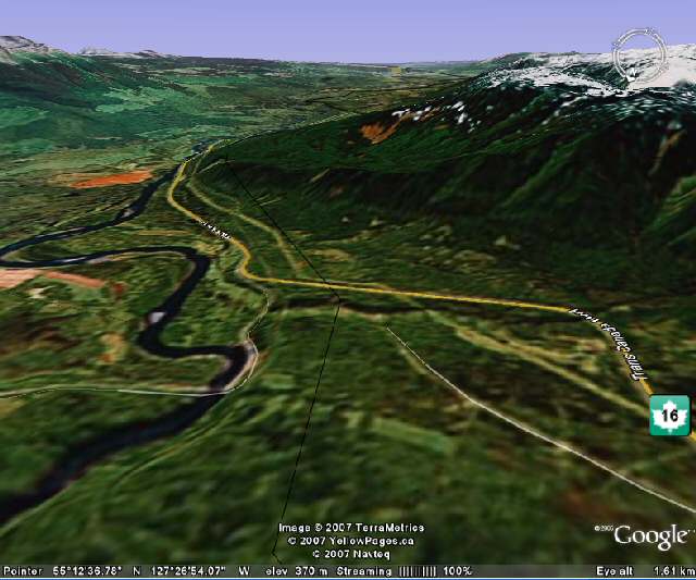
Approaching Smithers on The Trans Canadian Hwy, taken from Google Earth
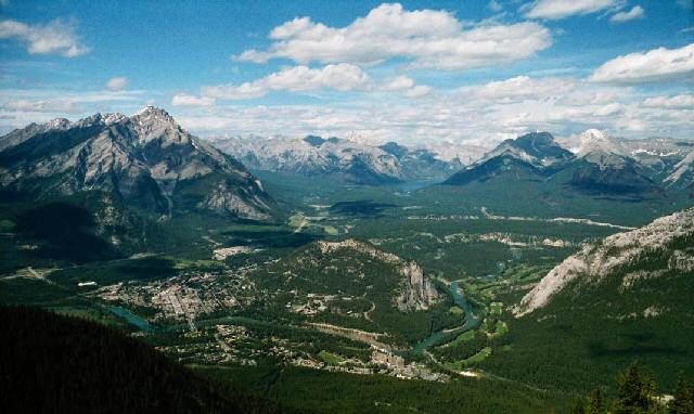
Following the Fraser River south through the mountains past such places as Stoner, Australian, Soda Creek, 150 Mile House, 100 Mile House, once again to camp overnight at Clearwater, (i) on the Thompson River. Forsaking the main road I head southeast to Adams Lake, Shuswap Lake, Arrow Lake, Albert Canyon, Rogers Pass and end up in Banff, (j) the start of the longest off road trail in America, The Great Divide Trail.
Banff
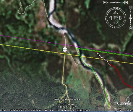
The trail closely follows the BC/Alberta Boarder until it reaches the USA at a place called Wurtz (k) on the Flathead River. My maps are a bit coy about this area as they show none of the roads actually crossing the border here, but Google Earth clearly shows a connection to Hwy 486 at Beaver Boulevard, maybe that little loop in the road at the bottom of the picture is a small border crossing post, if not I may have to retrace my route a little, but hey ho, such is life.
The total mileage now is around 7500. I have allowed 50 days for the whole Canadian Journey, about 40 travelling and 10 sightseeing or maintenance days. (Me and the bike!!). Thats an average of 150 miles per day overall or about 190 miles counting just the travelling days. This should mean that I get to Montana about the 25th August. If Im going to make the HU meeting in Copper Canyon, Mexico, I may have to double back for my rendezvous with cousin Rick in Dallas, but lets see what the route through USA brings in my next blog; The Route; Part 1; Stage 4; On to Mexico
