Trans-Canada Route
The Route; Part 1; Stage 2; Trans-Canada.
Crossing the ContinentThe Route; Part 1; Stage 2; Trans-Canada.
Quebec Province contd
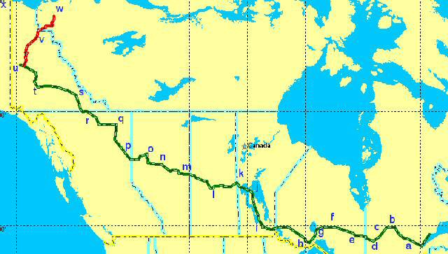
From Baie Comeau I follow the coast down to the River Saguenay (a) and head across Quebec, Camping at Lac Opemisca nr Chapais (b); Lac Quevillion (c) ; passing through Val dOr to Rouyn (d).
Ontario
Along straight East West roads crossing into Ontario Province and camping near Timmings (e); Klotz Lake (f); Nipigon (g) and Thunder Lake Dam.(h) close to the city of Thunder Bay on Lake Superior. I will probably need some supplies and R&R here before continuing on across the Canadian prairie with its even longer straight roads and long distances between towns.
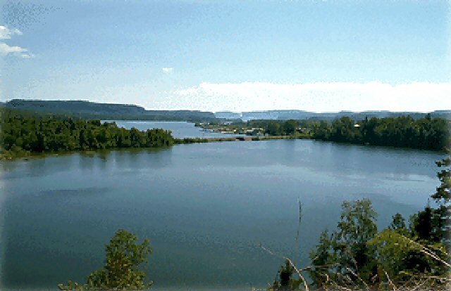
Lake Nipigon
Winnipeg, Saskatchewan, Alberta, British Columbia,
NW then, picking up the Trans-Canadian Highway to skirt Winnipeg, (i) camping at Grand Rapids, (j) on Lake Winnipeg, on to The Pas and camping in the Pasquia Hills. (k) just over the boundary, in the Province of Saskatchewan. Along Highway 55 to Prince Albert (l) then over into Alberta to camp at Cold Lake (m) North now on Hwy88 past Slave Lake to Red Earth,(n) then west to Peace River.(o) You have to be careful about Highway numbering in North America, because they change numbers every time they cross from one Province or State into another. Some of these will be long rides compared to what I have been doing and the only thing that will interfere is the speed limits. Im told that you can see a long road stretching out into the far distance, nothing else on it, beautiful clear weather, and a cop with a radar gun hiding behind a billboard about 2 miles in!! (Radar warning devices are illegal in Canada and can be confiscated on the spot). Westward ho for British Columbia and Fort St John, to camp at Charlie Lake. (p) Next Fort Nelson (q). and Yukon territory for Watson Lake, (r), Faro, (s),Stewart Crossing (t) and finally the gold rush town of Dawson City.(u)
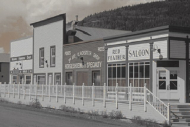
Dawson City then....
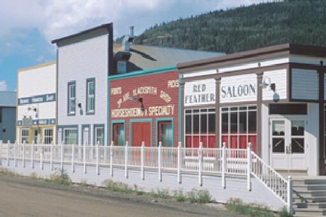
Dawson City now!
Here I change to off road tyres again and head north on the Dempster Highway, for the town of Inuvik (w), camping at Peel River, Fort McPherson or Artic Red River (u), whatever takes my fancy at the time. (Wow nearly ran out of letters so I guess thats 20+ campsites + 10 days R&R)
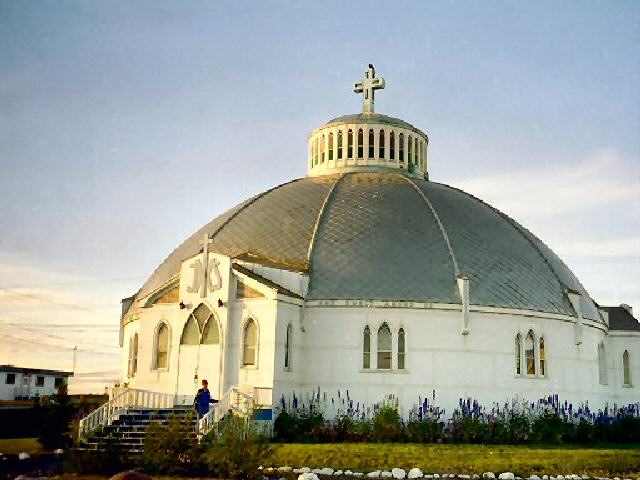
Most riders who travel the road from far north to far south start at Prudow Bay, (x) but although it is the furthermost north you can go on a road, it is not the most northern town. A post office and a collection of huts is not a town in my humble opinion, sorry Deadhorse, although America gets somewhat confused as to what is the real definition of hamlet, village, town and city. Just calling Dawson a city, does not make it one. Likewise Deadhorse as a town. A place has to have certain characteristics before becoming a town or city. Inuvik on the other hand has a church, library, post office, council and schools, a proper town, and anyway who wants to follow the crowd?
Inuvic
So this is the end of Part 1; Stage 2 and I need to look south before the sleet and snow comes for the comparative warmth of The Rocky Mountains.
Next blog. The Route; Part 1; Stage 3; South to the USA.
