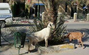
Southern Tunisia
Mike and Jo explore the east coast and south of Tunisia.10 Feb 15 Feb 08
Having gotten our gripe about the lack of working plumbing off the chest, we can focus on the things about Tunisia that matter. Like whether we could get a cold beer at the end of a long ride or not. The answer, like many things in Tunisia, is yes and no.
Firstly, Tunisia is a small country. It is about the size of Victoria, Washington State, or England and Wales combined. Too many long days in the saddle here, and you run out of space.
Next, there is not much in the way of mountains and, therefore, not much in the way of mountain roads. The high bits are in the north with the south given over to flat plains running off into the Sahara. The big cities and the population are all gathered along the northern and eastern coastlines along with the major tourist developments.
Our short exploration started with a loop around Cap Bon to the north east of Tunis.
South from Cap Bon, we ran down the heavily populated eastern coast in two deep breaths, before we crossed inland through the dusty towns on the edge of the Sahara. Thats half way around the country.
We punctuated our circuit of Tunisia with visits to most of the major archaeological sites.
Here are some thoughts on our Tunisian experience:
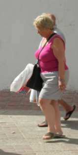
The coastal towns are geared up for tourists. In some towns German tourists are there in big numbers. They managed to dress for the summer while we were wearing puffer jackets. From what we could see, the usual tourist cycle is a holiday by the sea broken by organised bus excursions to the interior sites. The country is small enough to avoid many overnight stays in the smaller internal towns.
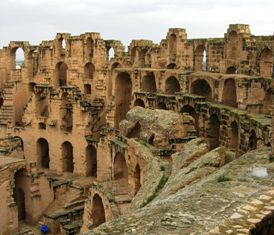
El Jem is one of the largest coliseums built by the Romans and is an amazing site. It is in the middle of the town
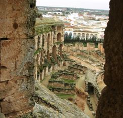
but there is not much accommodation nearby with most folk coming in from the coast on a day trip. The day we visited was bitterly cold and the one bus of, mainly English, tourists was not as well kitted for cold running as we were in our riding suits. They seemed happy to be getting back on the bus as we arrived.
El Jem has an excellent museum with some beautiful mosaics taken from private villas in the district. These show
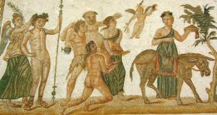
many themes that are not seen in the mosaics taken from the large public buildings displayed at the Bardo Museum.
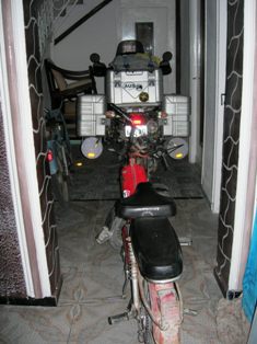
Some of the hotels had been built in French era before the coastal tourism boom and had fallen on hard times in the bus-in tourism age. They were inevitably helpful in securing the elephant, that is, if I could ride it fully loaded up a flight of stairs!
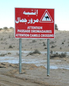
Riding in southern Tunisia had some specific challenges
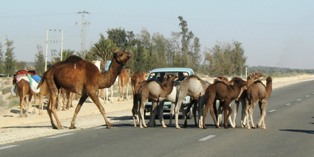
but the camels were not one of them. They always cross under the supervision of an adult
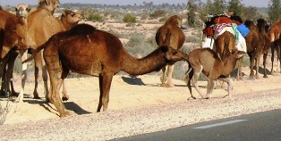
and mom was always on hand to help the little ones. This is completely at odds with the behaviour of the people who have almost no road sense.
Tunisia has some very fertile areas, but much of the country is marginal for agriculture. This shot shows the use of compensation dams built across re-entrants and backfilled with soil. These trap the run-off with excess water running on to the next dam. It is an ingenious way to grow crops in the inhospitable central hills. In other areas
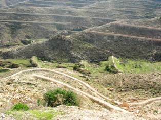
contour walls trap rainfall on the wet side of the mountains and move it to the side that doesnt get rain.
Interestingly, Tunisia, used by the Romans as the bread basket for the Empire, has to import 40% of its food and doesnt grow enough wheat for its own needs. The price of bread is subsidised and it forms an important part of every meal. Unfortunately, the bread is universally made from processed white flour so it is not a win for good nutrition.
Jo also discovered a peculiarity of Tunisian cuisine. She ordered tajine early in our stay, expecting the usual hearty dish of vegetables and meat, only to find that Tunisian tajines are like a frittata and are made of eggs and left-overs!
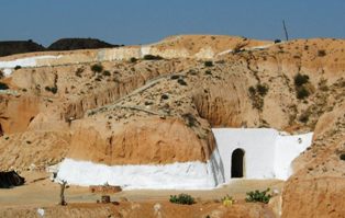
In some areas of the interior, e.g. Matmata, the Berbers built houses under ground (troglodyte pit homes) to avoid the summer heat. When we visited it was so cold we were looking for a place in the sun. Still
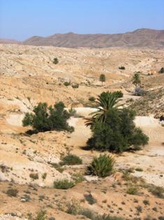
Much of the landscape is pretty tough.
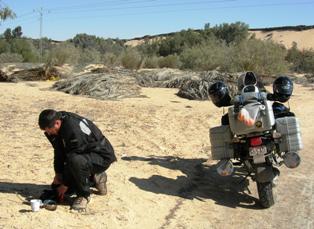
The further out we ran into the edge of the Sahara (boiling the billy in this case), the more it became sandy and bare
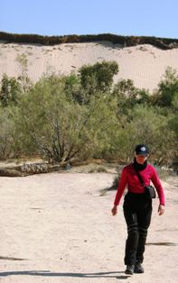
but that was before
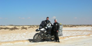
we got to the salt plains further into the south west which redefined bare. We followed one track across the plains

to a small oasis at the end of the road. With nothing but the Sahara in front, we called it a day and decided we had gone south far enough. We got back on the road and headed west
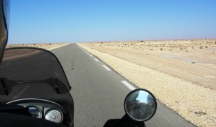
across the plains to the desert town of Tozeur
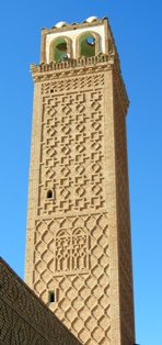
famous for a type of brickwork that creates patterns by setting bricks out from the wall.
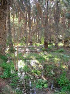
Tozeur also has a huge palmeraie with about 200,000 trees.
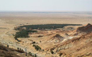
These small towns are gathered around an oasis (big oasis big town etc) and eek out a living on the edge of the GTFA.

In a demonstration of how precarious these towns are, unusually heavy rains in 1979 simply washed away the mud houses of this village. It was never occupied again.
After Tozeur, we explored to the west until we reached the Algerian border and could go no further. In these areas there is a big police and military presence and lots of road blocks. We didnt take photos in this area. In general, we were waved through but occasionally we were stopped and questioned before being sent on our way with a smile and a welcome to Tunisia.
With nowhere else to go in the south west, we have turned north and are heading into the hilly north seeking out the important archaeological sites of Dougga and Bulla Regia and an interesting route back to the north coast.
