The Geographer (Originally posted 13 Oct 2014)
Country
If the town of East Liverpool, on the Ohio-Pennsylvania border, had little to recommend it to the casual traveller that didn't seem important as we circled the potholed streets trying to find our way out of the business centre and onto Highway 39. What had led us there was the hint of a powerful story hidden in the most mundane detail of our long transit across the cornfields of the fertile basin. We had noticed, it was hard for us not to notice, that the roads across the heartland ran at regular intervals north-south or east-west and that they linked up a network of small towns which all seemed to be laid out to a common plan. It seemed unlikely that such a scheme on such a grand scale could be anything but intentional so we set out to discover how this came to be.
Like many amazing things about this country the scheme of roads and towns has at its heart an exceptional individual who was, in this case, named Thomas Hutchins. Hutchins was a soldier and adventurer but came to our attention as the first and, as far as I can determine, only official geographer of the United States. Hutchins was also a confidante of Thomas Jefferson who appointed him to his exulted position and it was a combination of Jefferson's far reaching philosophy and Hutchins' ability as a surveyor that fundamentally altered the future of the new United States.
At the time of the American revolt in the mid 1770s, King George III had proclaimed that all expansion of the American colonies west of the Appalachian Mountains should be feudal with the crown owing all and users paying feu. Jefferson led a strong campaign against the extension of feudal control mocking a system by which only the state and the church could own land. He proclaimed the right of every free man to own land and use it as he saw fit, to dispose of it or borrow against it as he chose. Jefferson's stand struck a chord and was responsible for his election to the first Congress where he saw to the passage of the Land Ordinance of 1785 which laid down the rules for division, ownership and distribution of land.
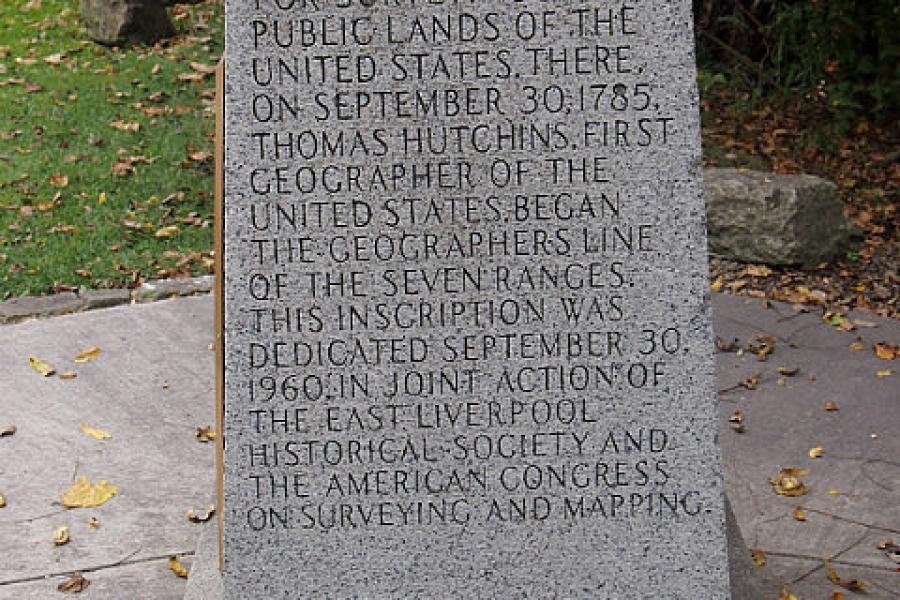
The newly appointed Geographer selected an arbitrary point just north of the town of East Liverpool to start his survey. The place was called the Point of Beginning and from there Hutchins calculated a line running north-south called the Meridian and a line east-west called the base line. From there, Hutchins and his team set forth measuring out the land using surveyors' chains, each 22 yards long and made from iron in Scotland. The land was laid out according to a grand and consistently applied plan. Each range town was six miles square divided into 36 numbered squares each of one square mile; a total of 640 acres. Sections were divided into half sections (320 acres), quarter sections (160 acres) and quarter, quarter sections of 40 acres. This provided a comprehensive and systematic design for the whole country and gave rise to expressions such as “the lower 40”. It also provided a common grid structure for all towns with identical sighting for schools, town halls, railway stations and government sections. It took only 15 years to survey Ohio, Indiana, Illinois, Michigan, Wisconsin and part of Minnesota.
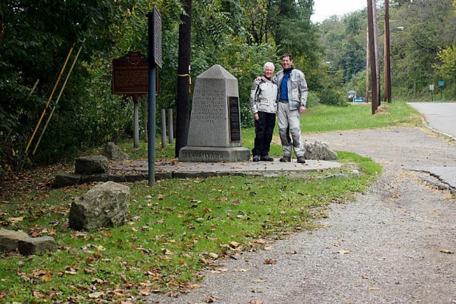
We found the small obelisk that marks the Point of Beginning. It was by the side of Highway 39 in a clearing above a transport yard. There was nowhere to park and the general state of the place made it clear that few ever stopped to read the inscription. We considered the place carefully and took some photos to record the visit. The trucks roared by on the highway a few metres away and it was no place for quiet contemplation. Still, we took our time and made the best of our visit for we felt that this place was testament not only to the remarkable Hutchins, but also to a powerful idea, given shape on the American plains, but destined to change the world. Lest we consider this farsighted policy in too fine a light, it is important to also record that the land, carefully surveyed by Hutchins and sold off by the newly instated government, was taken with force from its native owners without compensation.
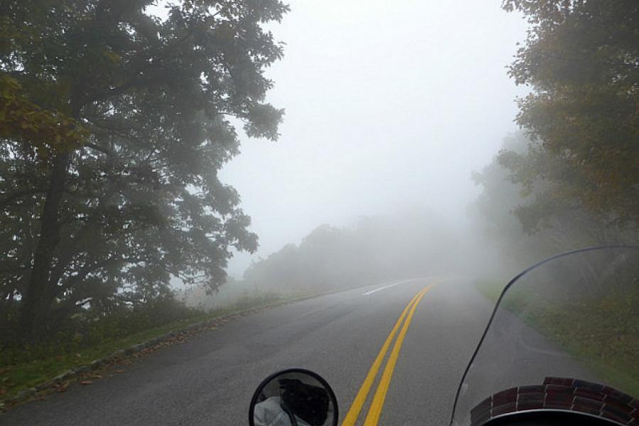
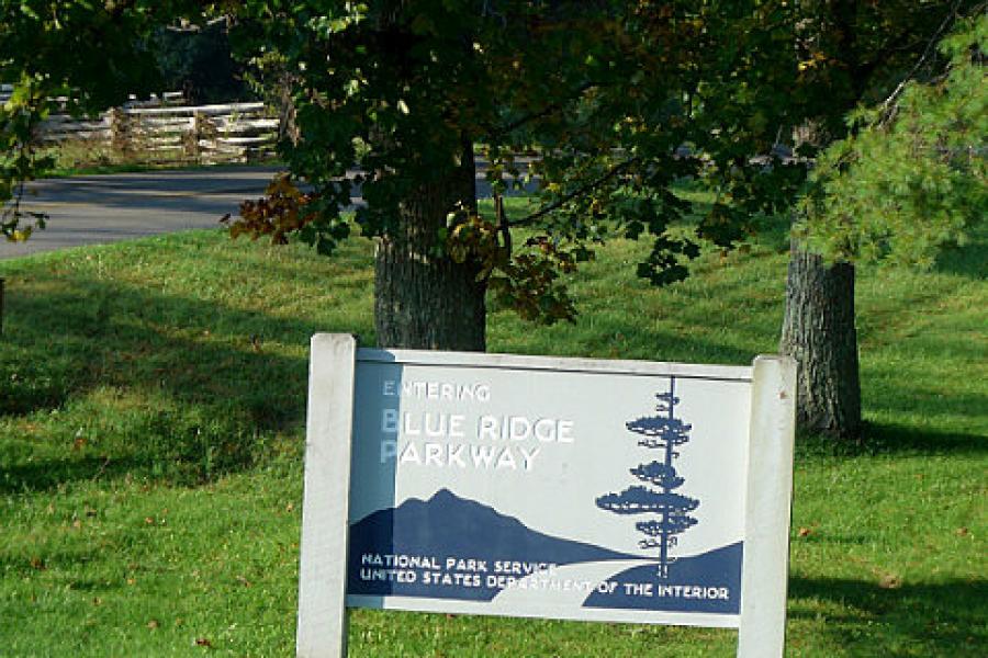
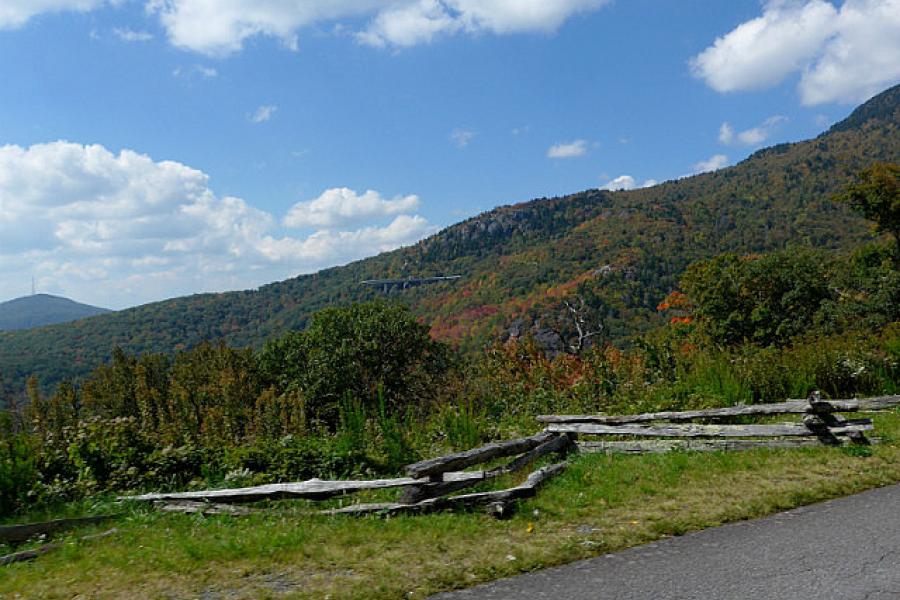
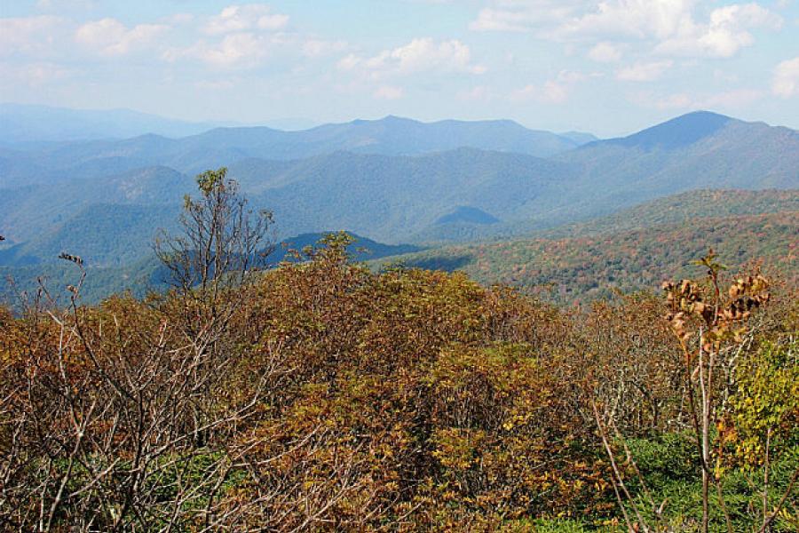
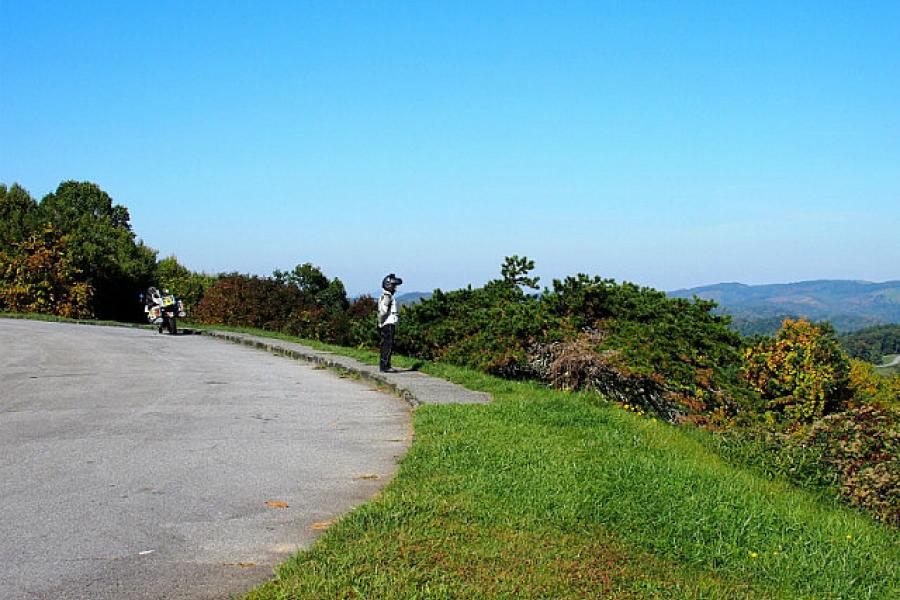
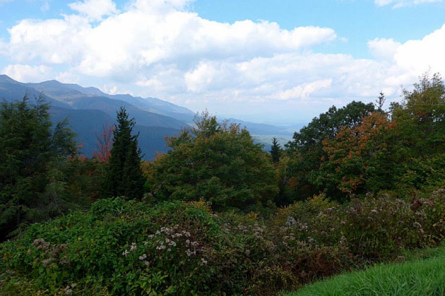
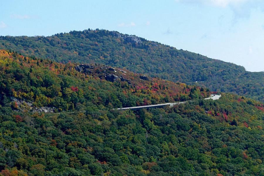
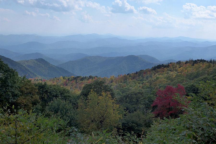
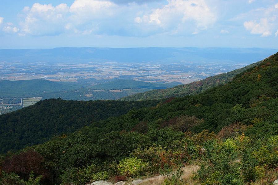
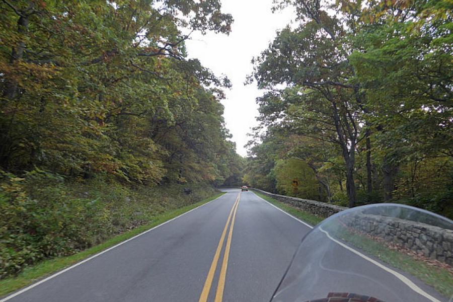
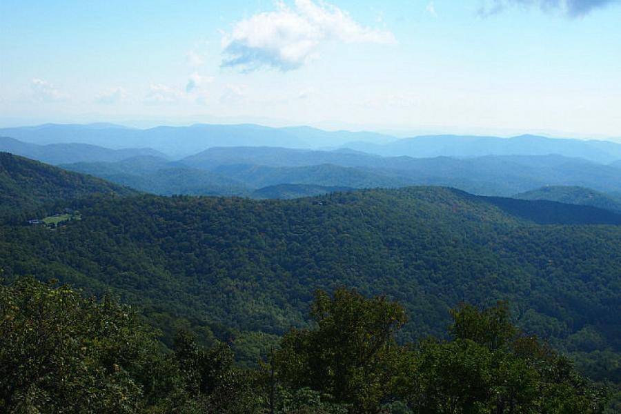
Having found the Point of Beginning, we travelled a little further east through Pennsylvania and finally ended our passage in Virginia with the Democratic Capitol just a couple of hours away. We had reached the great Dividing Range at last and turned south to chase the mountains down to the Carolinas. We followed the two iconic tourist roads, the Skyline Drive and the Blue Ridge Parkway, deviating only to find accommodation. The journey south was taken at a genteel pace as it doesn't do to be too anti-social in the speed restricted National Parks and Forests. That and the fact that our knobby tyres were by then as bald as a billiard ball and not in any shape for spirited riding. Ah well, another administrative problem that needed a solution.

