Taking the Scenic Route
Country
Heading "northeast" from Cusco…taking the scenic route
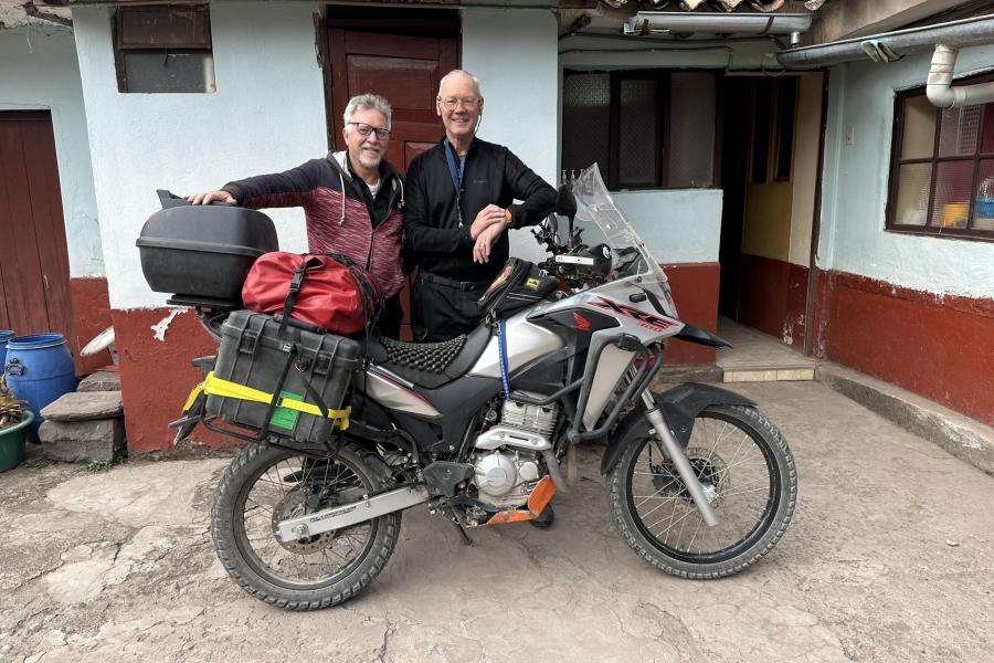
In the morning I packed up and said goodbye to my new friend Glen Short. A longboard is laid on a flight of stairs to leave the hostel and get to the street level. With a little speed and a dash of courage, the bike climbs up the ramp and onto the sidewalk. One final goodbye to Glen and I turn right into traffic. Half a block later I realized the 50/50 choice was 100% wrong. Turning around I saw Glen grinning as I passed him, now going in the correct direction. The (mis)direction of the day has been cast.
East of Cusco, Loki (my GPS) decided a scenic route would be a better experience for me. The device-suggested route would have taken me to Lake Titicaca, a lovely place, but I needed to go northeast. After a few hours of riding east, then south, I figured out I was headed off course and made an on-the-fly course correction. One theory, there is a gap in the Open Street Map (open source maps) east of Orcos. A gap in the maps resulting in the desired turn will not be suggested at the appropriate intersection. I’ve seen gaps in a map or Brazil and Bolivia where the deficiency would have sent this hapless rider way off course. The second theory, I flat-out missed the turn. This is unlikely because a GPS will suggest making a U-turn to get the traveler back on track.
It was some time before I realized I was heading south longer than needed. Backtracking isn’t my style, always press forward is my motto, even if that means taking an unknown secondary road. On the silver lining side, the ad-hoc itinerary included a delightful roadside meet-up with a Swiss family traveling by bicycle! Father, mother, two sons, and a teenage friend were deep into their first year of a two-year journey through South America. Each person towed a cart with a solar panel on top. The father got an extra workout pulling a cart with his youngest son who was a passenger and no doubt enjoying the scenery.
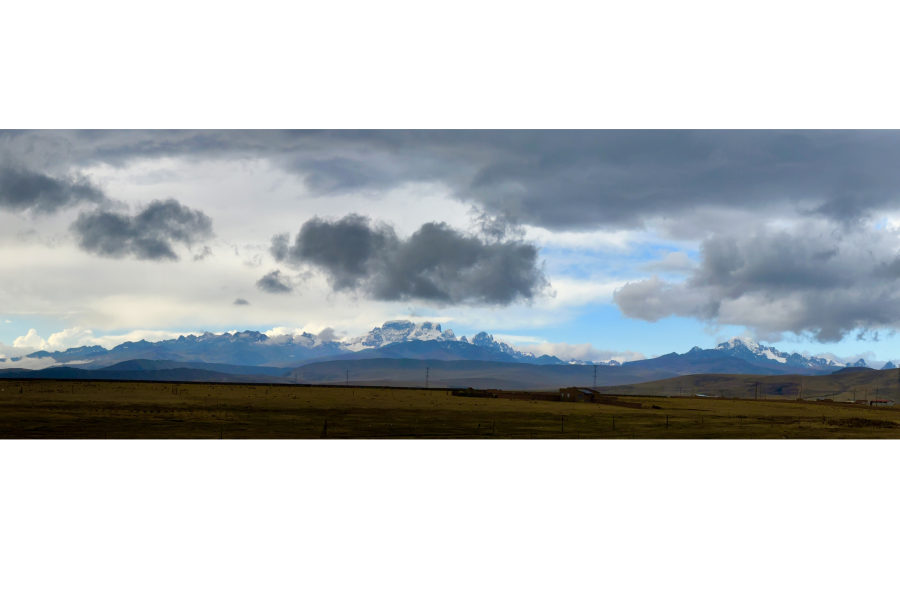
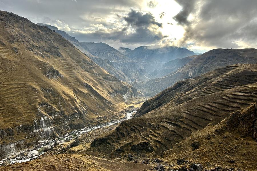
It was after meeting the bicyclists, that I concluded a change of direction was in order and turned off the main road and onto PE 100. I was soon riding along on packed gravel. Hmm, not a good sign. In the end, the road was quite easy to ride. Coming around a bend in the road a pond appeared with a flock of flamingos. Growing up in the United States, flamingos are principally found in sunny Florida and plastic versions adorn the lawns of houses of owners with questionable taste. It never fails to amuse me when seeing these pink birds in the Andes of Peru and Bolivia. The road must have been slowly climbing in elevation or the nearby mountains forced cold air down. The temperature dropped and flurries started falling. One minute I’m basking in the sun, then next freezing my ass off and donning cold weather gear. 100 km later Macusani appeared and the road became tarmac again. The cold front had passed and the temperature started rising as I descended the Andes and into the high Amazon mountains.
Reaching PE34 at Macusani, put me back on a branch of the Interoceanic Highway. Heading eastward towards Brazil the Interoceanic Highway branches combine at Puerto Leguía. That is the point I rejoined PE 30C. With a personal cheer and delight, I captured a screenshot from my GPS Loki, documenting reaching the Interoceanic Highway. Whoohoo!
What’s the deal with the Interoceanic Highway fascination? I heard a story on the radio circa 2011 when the highway was completed and decided it would be a cool thing to ride at least a section. In comparison, Route 66 in the United States is a road with a rich history. I have met many riders in South America who want to visit the US and “…get their kicks on Route 66.” It won’t likely won’t ever have the same following as Route 66. The Interoceanic Highway was built for international commerce, and to date has failed to live up to expectations. The Interoceanic hardly competes with the Pan-American Highway for awareness. The PanAm is notoriously avoided by the off-road crowd and riders wanting to avoid truck traffic. The horrible section north of Lima, one long sand-blown stretch from hell burns in my memory. All the same, I was thrilled to be riding the Interoceanic, if only for a few days.
The Interoceanic Highway or Trans-oceanic highway is an international, transcontinental highway in Peru and Brazil that connects the two countries. It was completed in 2011, and runs east to west, spanning 2,600 kilometres (1,600 mi).
(Read the article on Wikipedia)
Confession II, I am writing up my traveler story after the fact. To be as accurate as necessary I’ll consult credit card receipts, limited GPS tracks, and the date/time/location details of photographs. The iPhone that I am using does a good job of capturing the location where the picture was taken. Once the image file is accessed via the Apple app with the confusing name “Photo” the location data is available. Other applications can read and provide the location information. Apple’s Photo works for me, so after researching and testing other resources, I settled on Photo. The app is included in the Apple operating system and free doesn’t hurt. The above technological dimensions of documenting my travels posthaste don’t help the fact that I can’t remember where I spent the night after leaving Cusco.
Troubles with a GPS? The GPS charging system on the Zumo 550 was failing. The critical charging pin in the device cradle had burnt out. Frankly, bad design Garmin. In Garmin’s defense, the GPS came out circa 2006. Later in Brazil, the plate holding the GPS in the cradle broke, which meant zip ties were needed to keep the GPS in place. Any time I needed to walk away from the bike, first I had to slip the GPS out of the zip ties. What a mess. For the present, my dear GPS Loki would get charged at night, then in the morning mounted on the bike, powered on to point the right direction, and then turned on and off during the day if there were routing doubts or interest to know how far away the destination of the day might be.
Limited GPS tracks (GPX files generated as you travel) indicate I stopped and parked behind the Hotel Plaza San Gaban (Carr. Interoceanica 102, Lanlacuni Bajo 21275, Peru.) The memories in this case were refreshed/confirmed by the hotel photos on Google Maps. Yes, gentle readers, stay on the road long enough and lodging details blur together. The recall of one strange bed has little power over the rest.
The unexpected detour added one riding day. The next day’s goal was to reach Puerto Maldonado, near the Bolivian border.


