2006 July: Westward Ho!
It was due west from Montana. The goal was to reach Oregon and attend a small motorcycle travelers meeting held by Eric and Gail Haws.I left Helena for Missoula where I got a new set of tires and then continued west on route 12 into Nez Perce Historic Park. When I stopped at the Lolo Pass Peak I was told of a small dirt road that is part of the original Lewis and Clarke trail.
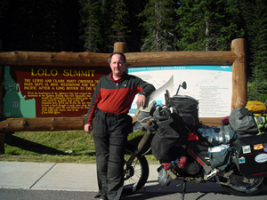
I was intrigued and the next day decided to try it out from the midpoint entrance.
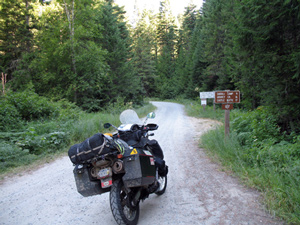
It started out as a difficult but manageable dirt road.
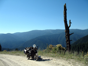
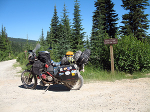

Then I met Harold who is a professional photographer and was doing an assignment on the area. He started to get me worried about gas and he advised me on better directions because I didn't have a proper map of the road.
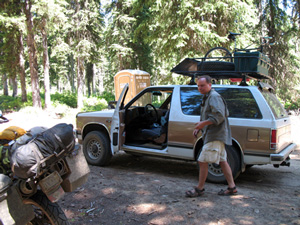
I stopped at this intersection and the signs did not match my map and what Harold had told me. It appeared that I missed a turn somewhere I was now completely disoriented. The woman had a gps system but it didn't help where we were. We followed the sign that said route 12 although it didn't seem right to me.
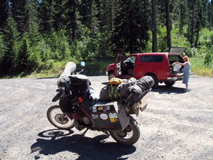
And sure, after 15 miles the road petered out into the forest!
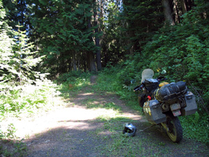
We backtracked and took the other road and eventually came out onto route 12. I was running on fumes and had her follow me to the next gas station.
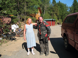
I had a huge meal and about one gallon of water at an excellent Turkish restaurant where they gave me some gas to get the next gas station. Then it was back on the road through the farmlands.
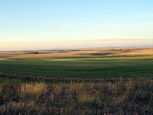
The weather had been very hot but as I crossed Idaho and into Washington before dropping down into Oregon I was roasting on the road.
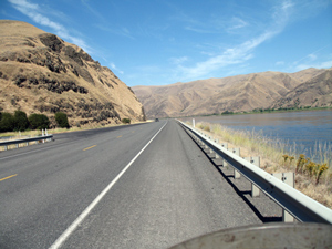
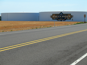
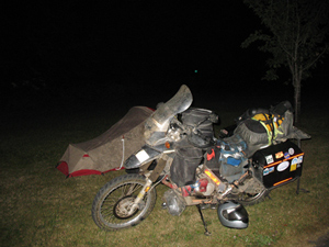
I finally reached Westfir, Oregon but couldn't find the meeting site. I eventually camped in front of an elementary school.
