The Walking Cure - Off-road Adventure On Two Feet
It's a well-established bit of advice. The best exercise to minimise any after-effects of prostate treatment - radiotherapy or surgery - is walking.
So I do quite a bit now.
Which takes up a lot of time, so other things have to take second place.
A while ago I happened upon a map of local footpaths and bridleways and made an interesting discovery.
I can walk all the way from home to one of the best pubs around almost entirely on footpaths, and almost in a straight line. Making it a much shorter distance than going by road.
And only about 200 yards of tarmac in four and a half miles, plus half a mile through Whyteleafe to reach the start.
That's a ten mile round trip. Which with lunch takes up most of the day.
Other things have to take second place....
I made this discovery sometime in the spring and have had quite a few good lunches since.
Including yesterday, when I took my camera. So here's a 'journey in pictures'.
Down the hill into Whyteleafe.
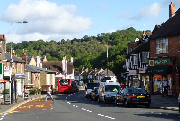
Here we see the effect of this route being a 'straight line' to the pub. As there are lots of valleys hereabouts, the straight line makes it pretty steep. The next few bits of path take us right to the top of the scenery in this photo. The top of the trees to the right.
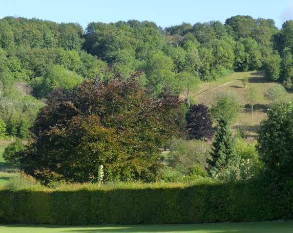
The path on the right is a steep staircase with huge steps which lead to the top of the 'Dobbin', and then:
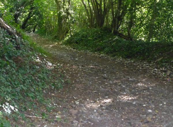
To the start of the next part of the climb,
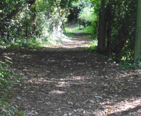
and upwards,
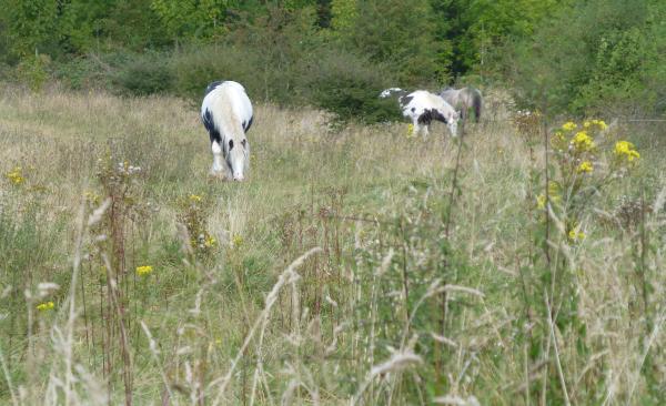
opening out here. This is roughly at the top of the tree-line in pic.1
And I realise the bag of carrots is still in the fridge. Well, I'm not going back....
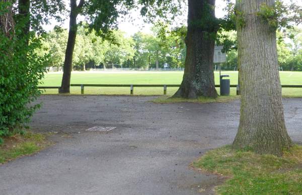
Well out of Whyteleafe now, a bit of tarmac leads to the sports field and the path carries on beyond.
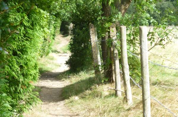
This tunnel of trees continues the 'dead straight' theme.
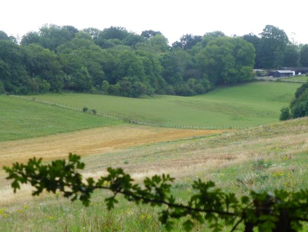
Followed by the next valley to cross.
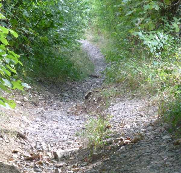
A straight path straight down.
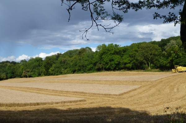
Another straight up, with Mystery Crop Squares along the way.
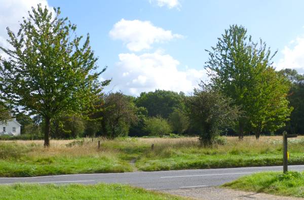
And a bit of tarmac to cross.
The traffic here is pretty sedate these days. It wasn't always thus. In the 80s my XBR Honda would get close to a hundred along here (I wasn't the only one) and a steady reduction in the speed limit to the present 40mph has seen the end of those days.
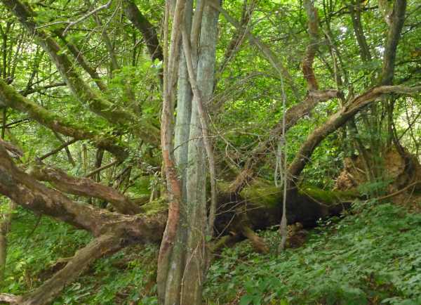
One of thousands of casualties of the Great Hurricane of 1987, left to decay where it fell.
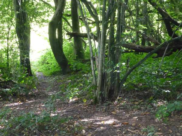
The path long since diverted around it, and out between the trees on the left, to:
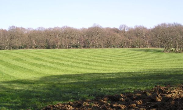
A farmer hereabouts likes to do the Wembley Stadium thing on his crop fields.
Or perhaps he's Irish. From the air this field looks like an Irish Harp, and these are the strings.
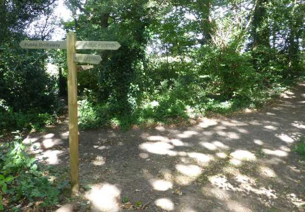
Beyond the far side of the harp field there's a hellishly complicated crossroads.
The Spaghetti Junction of footpaths. With arms missing from the sign, to boot.
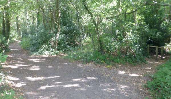
I remember now - keep going in a straight line.
It's the one through the wooden barrier, right of picture.
The narrow onward path between dense woods and a fence skirts round a Victorian psychiatric hospital. Now transformed into a smart estate, with some old buildings preserved, including the clock tower.
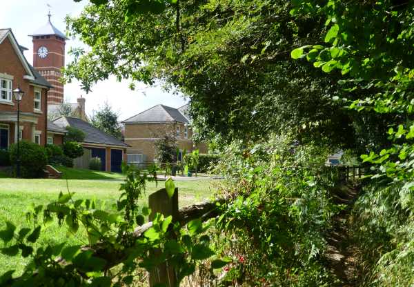
Quarter to twelve and all's well.
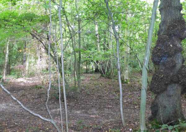
The woods open up a bit from being impenetrably dense.
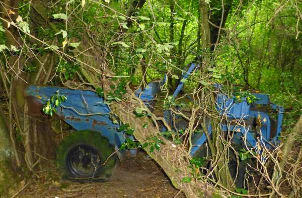
And we find the only off-road vehicle (or on-road for that matter) to be seen on this trip.
Been here since the last century I think. (That sounds a long time ago!) What's more, this little wood is known as The Gripes - where Gripe Water comes from....
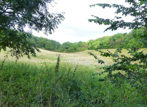
The final valley to cross, and almost the steepest.
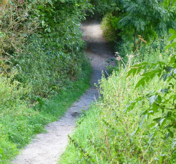
Looking up the path coming down.
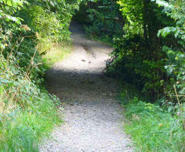
And the start of the climb up the other side.
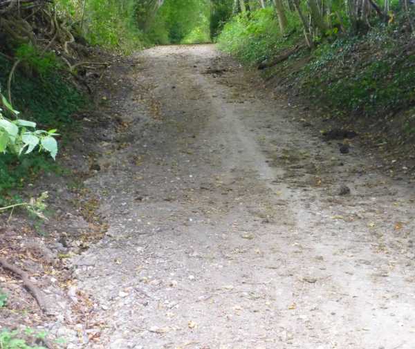
Almost 5 miles and the pub's up there somewhere....
Very appropriately, this is called High Hill Road. A long time since it's been a road, but it's still definitely a high hill.
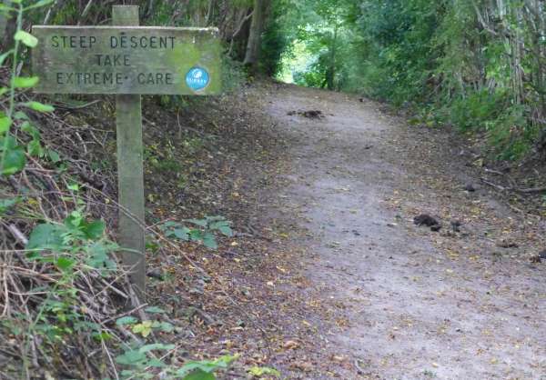
Beyond the warning signs.....
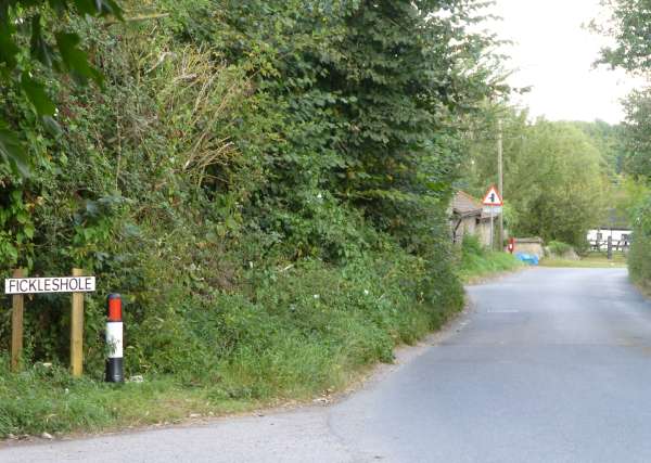
Beyond the sign for the sixteenth century hamlet of Fickleshole....
(Two farms, one pub, horse population about the same as human population)
HERE -
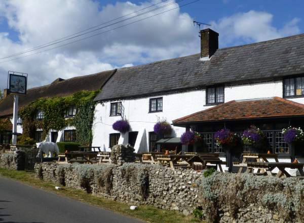
Can you imagine it, a couple of hundred years ago most of the cottages in Fickleshole were turned into this pub....
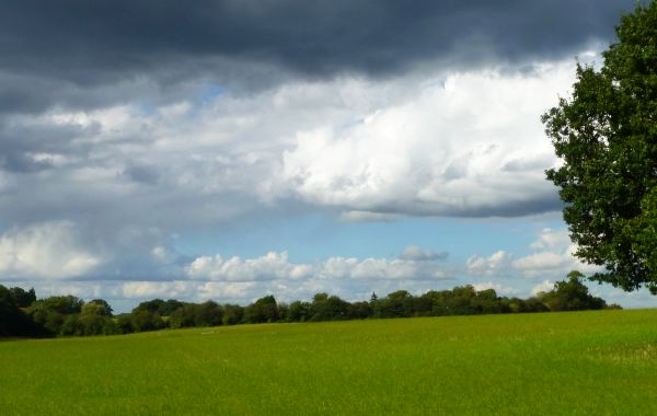
Ambling homeward, some straight-as-a-ruler cloud formation.
And on the long descent back down into Whyteleafe, there's a big barbeque somewhere, sending smoke through the sunbeams.
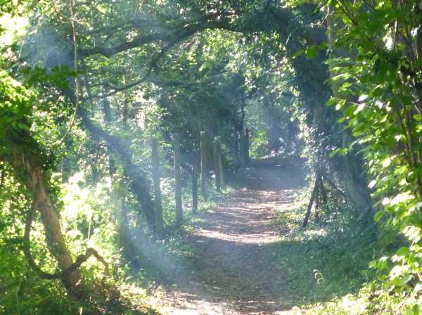
Or something more serious? Hope the village is still there.....
