Tukuyu
I was hoping for an early departure from the campsite near Iringa, to reach Tukuyu in good time. But two visitors had arrived the day before, who passed by while I was loading the bike that morning.
First was a friend of the site manager who had arrived to help out with things in general to give the manager a few days off. She and her husband used to be farmers in Zimbabwe so she was a useful source of information, as well as wanting to know all about my trip.
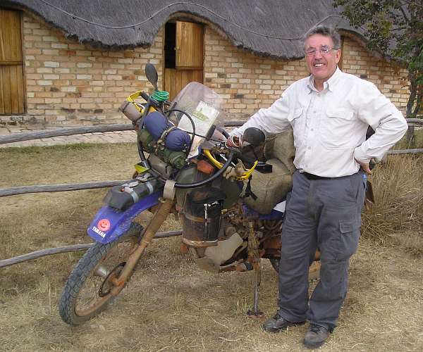
Then Neville passed by, who had arrived the previous evening on his Kawasaki water-cooled single, from South Africa where he lives, on his way to Germany. He wanted to know about the route ahead, particularly as he, too, was planning to go to Lake Tangayika, Rwanda and Uganda on the way to Nairobi. I thought no one was taking that route but me! But now I've met quite a few travellers who have shown otherwise.
Also, he is travellling as slowly as me, having taken four months to arrive here from Cape Town via quite a circuitous route through Swaziland and Mozambique amongst other countries.
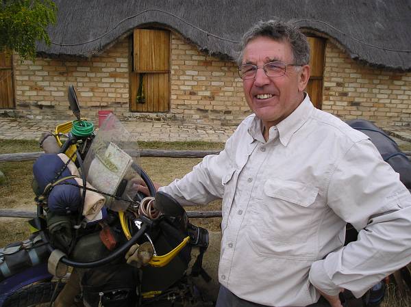
So we chatted quite a bit and he insisted on taking some photos of my bike, so here they are.
I didn't leave the campsite until about noon, so didn't go into Mbeya as I thought I might, but directly to Tukuyu, in high farming country, the last town of any size before Malawi.
It was a roller-coaster ride. Dropping from 6000ft at Iringa down to a warm 2500ft and the Usangu Flats, with the Ruaha, Great Ruaha and Little Ruaha Rivers. Followed by a left turn shortly before Mbeya and a steep climb up to a chilly 7600ft where the road wound round Mount Rungwe on the way to Malawi and Lake Nyasa.
(Lake Malawi, as it's usually named on many maps, is known as Lake Nyasa here.)
There was an amazing display of colourful farming on the northern slopes of Mt. Rungwe, everything from corn and maize to tea and market-garden plots.
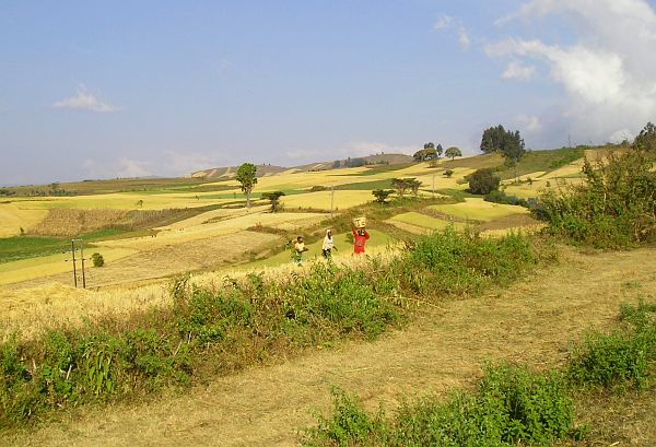
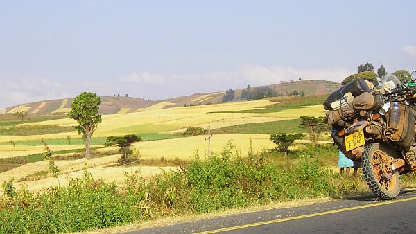
Approaching 7000ft, stormy-looking dark clouds started gathering, but left a billowing hole just big enough for the sun to find.
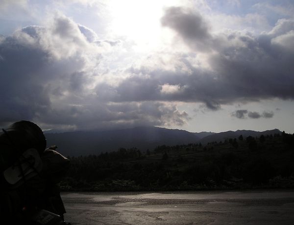
In the distance is Mount Mbogo.
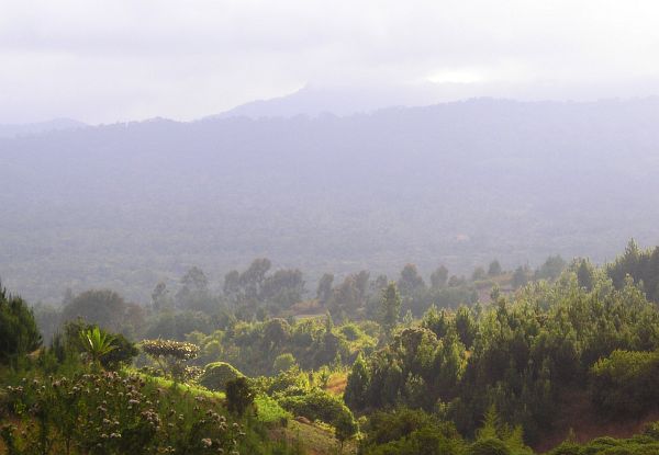
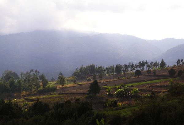
The steep road climbing up to this height twists and turns through farms and smallholdings alive with people working in the fields right next to the road. Consequently the heavyweight trucks and trailors descending were inching along at about the slowest pace I've seen, certainly less than two miles per hour. It wouldn't do for one of these to reach a speed downhill at which their weight, speed and the steepness of the slope are too much for the brakes. But it does happen, as one or two crashed and abandoned trucks alongside the road are pored over by children playing on them and adults salvaging whatever is useful.
Recent wrecks still have the driver and his mate camped next to them, complete with cooking fire, guarding the load until other transport can cart it away.
Beyond this pass the road descended again to about 4000ft and the relative warmth of Tukuyu.

