7. From La Balsa to Chiclayo
The day I crossed into Perú (November 3), I slept in San Ignacio, a town in a coffee zone of the Amazon watershed. Next day, I left San Ignacio heading to Chachapoyas, 250 km far away. Nevertheless, 50 km after Jaén, the police notice me the road had been washed away by the Uctubamba River, and the repairing would take a week. I decided to turn back and ride down to the coast, the only way for going south. My day ended in Chiclayo, after 530 km and 10.5 riding hours.
.
.Amigo: ahora puedes leer la historia completa en mi libro "La Suramérica que recorrí". Ve a www.palibrio.com. Las fotos, míralas aquí.
.
.
El día que entré al Perú (Noviembre 3), dormí en San Ignacio, un pueblo en zona cafetera en la vertiente del Amazonas. Al día siguiente salí de San Ignacio con destino a Chachapoyas a 250 km de distancia. Sin embargo, 50 km después de Jaén, la policía indicó que a la vía se la había llevado en Río Uctubamba y que la reparación podría tomar una semana. Decidí entonces devolverme y viajar hasta la costa, la única vía para ir al sur. Mi día terminó en Chiclayo, después de 530 km y 10.5 horas manejando.
--------------------------------------------
Before this bridge was built, people used to cross the river by means of a raft. From there, the place name LA BALSA (the raft), border site between Ecuador and Peru in the Amazon watershed. There are 150 km, 6 hours, from Vilcabamba to La Balsa, only 20 paved. It is not a road, its a trail that doesnt end here.
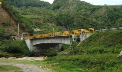
Antes de que construyeran este puente, la gente atravesaba el río en balsa. De aquí el nombre del sitio, frontera entre Ecuador y Perú en el lado del Amazonas. Son 150 km, 6 horas, desde Vilcabamba hasta La Balsa, sólo 20 pavimentados. No es un carretera, es una trocha que no termina aquí.
-------------------------
After 300 km of true trail, I got tarmac again some kilometers before Jaén . What a rest for Suzi and for me. The problem with off roads here is they change the conditions permanently, making the riding too difficult because you have to change the way of riding fast and often : from big stones, to gravel, sand, red and slippery mud, firm mud, potholes, transverse ditches, corrugated, slippery shoulder when not driven.
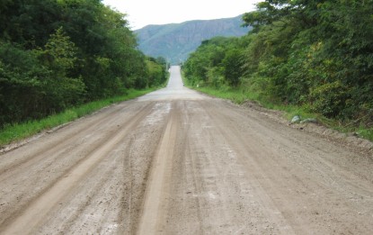
Después de 300 km de pura trocha, encontré pavimento de nuevo algunos kilómetros antes de Jaén . Qué descanso para Suzi y para mí. El problema con las carreteras destapadas por aquí es que cambian de condiciones permanentemente, haciendo la manejada muy difícil al tener que cambiar rápida y periódicamente la forma de conducir: de grandes piedras a grava, arena, barro rojo liso, barro firme, huecos, zanjas transversales, corrugado, berma lisa cuando no se ha pisado.
----------------------------------
Again I found extended valleys harvested with rice. Cattle at large is not a problem
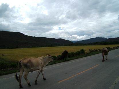
De Nuevo encontré extensos valles cultivados con arroz. El ganado suelto no es problema.
--------------------------------
They use terraces to retain the water
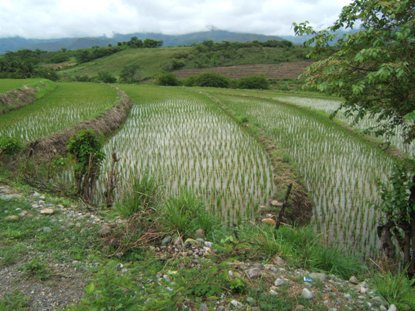
Usan terrazas para retener el agua
---------------------------
The rock formations are impressive

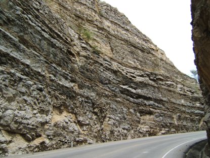
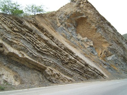
Las formaciones rocosas son impresionantes
-----------------------------------------
More rocks here, and here
-----------------------------------------------
The Utcubamba River, out of course, responsible of my u-turn in the way to Chachapoyas.
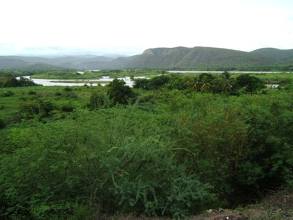
El Rio Utcubamba, responsable de mi retorno en la vía a Chachapoyas.
------------------------------------------------------
The Chamayo River, 40 km west from the Utcubamba River in the previous picture. Different sheds, different flow. Utcubamba comes from de East, a very rainy region, The Chamayo comes from the West, a semiarid region as well see in the next picture.
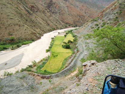
El Río Chamayo, 40 km al oeste del Uctubamba en la foto previa. Hoyas diferentes, caudales diferentes. El Utcubamba viene del este, de un región muy lluviosa. El Chamayo viene del oeste, de una región semiárida como puede verse en las siguientes fotos.
-
---------------------------------
Climbing to Abra Porculla (Porculla Pass), the landscape turns dry.
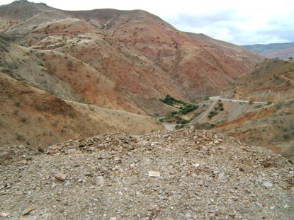
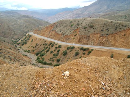
Trepando a Abra Porculla, el paisaje se torna seco.
------------------------------------------
On the clouds is Abra Porculla, the continental divide. Water in this side is going to the Atlantic Ocean, the other side is going to the Pacific Ocean.
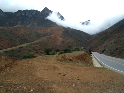
En las nubes es Abra Porculla, la divisoria continental. El agua de este lado vá al Atlántico, la del otro lado va al Pacífico.
----------------------------------------------
This heavy cloud lasted from Abra Porculla at 2150 m, until 1500 m, about 8 km away.
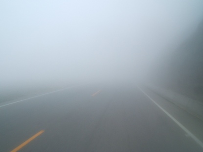
Esta espesa nube duró desde Abra Porculla a 2150 m, hasta 1500 m, cerca de 8 km de distancia.
