Quebec Provence
From Nova Scotia I finally started heading west stopping at the Cmon Hostel in Moncton again then on to Campbellton, New Brunswick. Cambellton is a starting point for the Gaspesie scenic route 132. A circular route following the coast around the Gaspesie peninsular then back through the mountains. I was planning to do the coastal part of the route then continue west for points unknown.
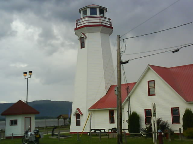
My Cambellton Home
I was told to expect stunning views of Gaspesie as I approached Cambellton. The last fifty miles were completed in light rain and sea mist so I missed out on that first sighting.
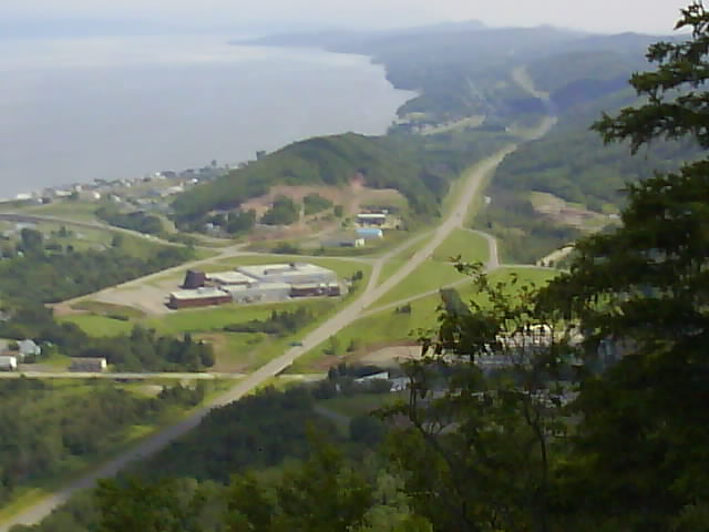
Cambellton New Brunswick From Sugarloaf Mountain
Sugarloaf mountain on the outskirts of Cambellton is a winter ski resort. It offers views of Quebec Provence across the bay from its summit.
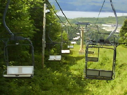
Sugarloaf Mountain Ski Lift
Although not cold, the weather is cooler and certainly much more changeable. I put this down to being further north but a number of Canadians have said this summer is unusually cooler and wetter. I have started using hostels where they are available but am still mainly camping.
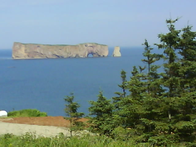
Gaspesie Coastline
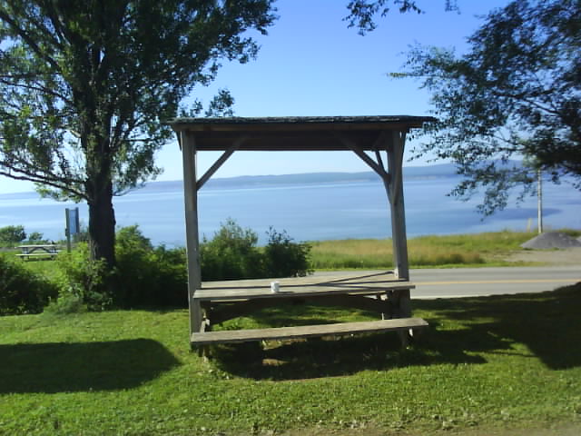
My Forillon Nation Park Dining Room
The Gaspesie coastal route may not be quite as dramatic as Cabots Trail, Nova Scotia. Passing through fishing and tourist villages for a lot of the route it is well worth doing though. At the tip of the peninsular is Parc National De Forrillon, a place I was told, renowned for whale watching. My hostel had great views over the bay and a few Porpoise could be seen from my alfresco dining table in the evening.
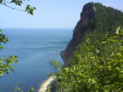
Gaspesie, Quebec Provence
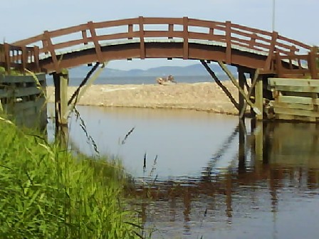
Gaspesie, Quebec Provence
The next day I went on a whale watching boat trip from Grande Grave within the park. The bay was dead calm, ideal for whale spotting although there was some sea mist reducing visibility to half a mile or so at the harbour. Having booked on the next trip I went for a walk and saw more porpoise and Minke whales from the cliff top footpath. One Minke whale was only a 100 yards or so from shore but it had gone by the time I got the camera out.
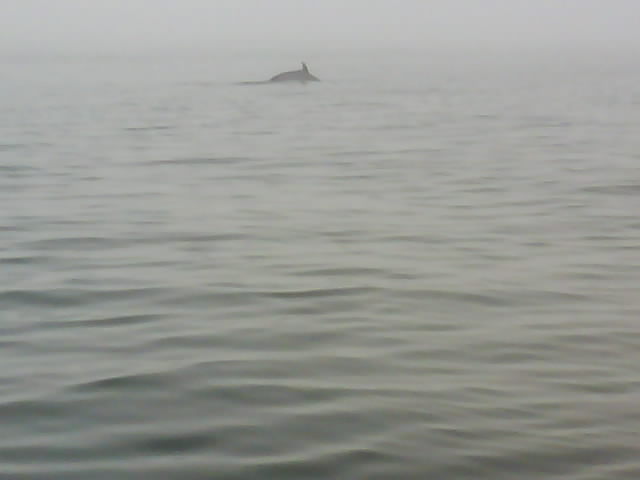
Minke Whale
There were more Minke whales on the boat trip including a good view of one with its head above the surface and water pouring from its mouth. Minke dont use a blowhole to breath which is why they get their head out of the water. The sea mist thickened reducing visibility and stopped us seeing anything further out in the bay where the larger whales usually are.
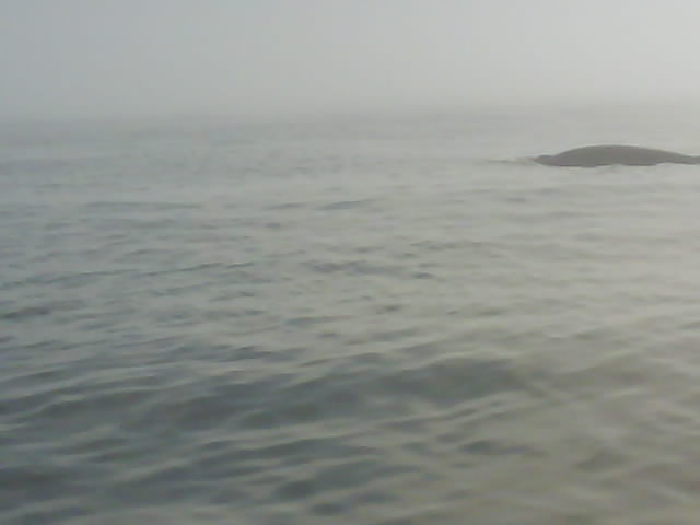
Minke Whale - Just Missed The Head Shot
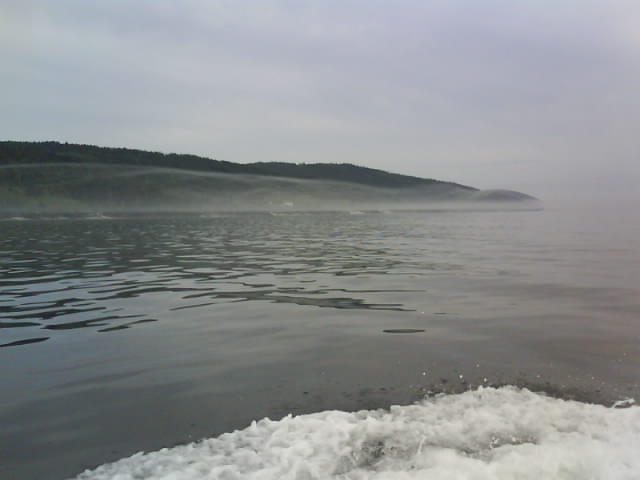
Cap Gaspe In The Mist - Forillon National Park
After the boat trip I headed on foot to the lighthouse at the end of the peninsular.
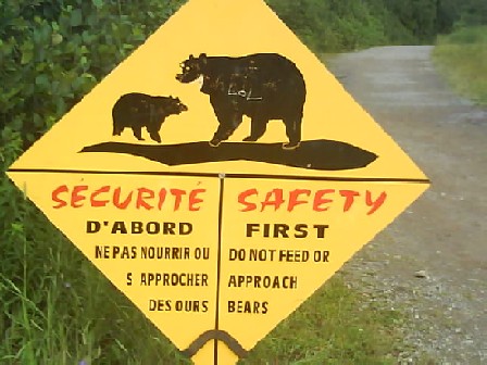
Footpath To Cap Gaspe, Forillon National Park
The path followed the shoreline where there were more Porpoise and Minke whales in view. The whale watching boat went by on its next trip then a larger whale surfaced sending a flume of water into the air. As the whale swam on the surface and continued to blow the boat swung round for a closer look. As the boat got close the whale started... er .. having a whale of a time. It was lifting long flippers into the air and splashing them down onto the surface of the water with a resounding crash. Then it dived several times lifting its huge tail well into the air each time. It would reappear coming head first vertically out of the water, turning and splashing on its back into the water with a loud crashing noise that was delayed by a second or two from where I was watching. Most times it would get half its body out of the water but once I could see its head, body and most of the tail.
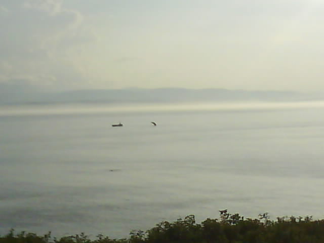
Humpback Whale To Right of 48 Passenger Whale Watching Boat. Dark Patch In Front Of Boat Is A Minke Whale. (Taken With Mobile Phone Camera)
The people on the boat would have been looking up at the whale. I was excited at seeing this spectacle which went on for half an hour but I was also wishing I had gone on the later boat trip for a closer view! I met the boat later on as it came into dock and found out it had been a Humpback whale we had seen.

Cap Gaspe Lighthouse, Forillon NP
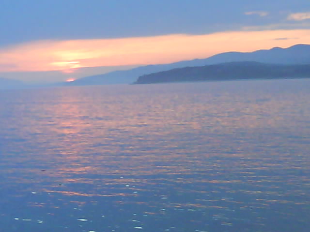
Forillon NP Sunset
The GPS which has been fantastic in allowing me to plan routes on quiet, scenic roads played a trick on me during the next leg of the trip further round the Gaspesie peninsular. It said there was no fuel stations on my route for over 100 miles. It seemed very unlikely as there were a number of villages on the way but I decided to play safe and detoured to Gaspe for fuel. On returning to the planned coastal route there was a fuel station within ten miles and several further on that werent in the GPS database.
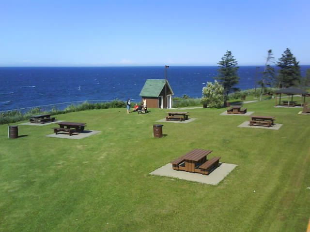
Gaspesie Roadside Rest Stop
Arriving on the St. Lawrence river side of the Gaspesie peninsular I stayed in a hostel on the beach. It was a bit of a party hostel with young French Canadians camping on the beach, staying in the hostels teepee and yurts as well as the Sea Shack hostel. A DJ was playing mainly reggae until the early hours. I had a few local beers and left them to it. The next morning sitting on the veranda with a cup of tea overlooking the St. Lawrence bay I was tempted to stay another night but the wild west was beckoning.
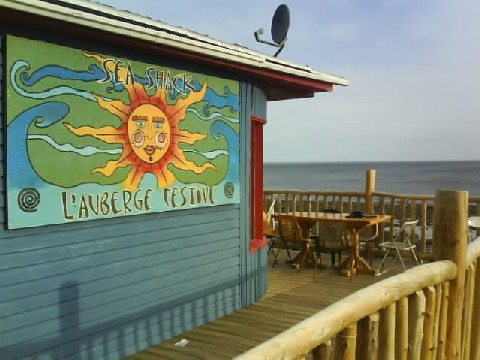
Gaspesie Sea Shack Auberge Festive
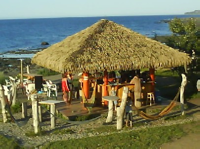
Auberge Festive Beach Bar
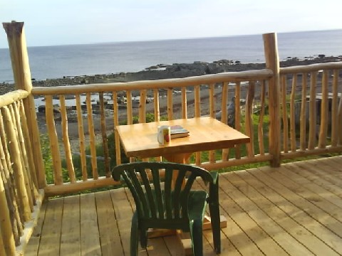
My New Dining Room Table
I have been travelling for four months now but still get a kick from crossing a new border or reaching particular landmarks. St. Lawrence Bay marks the end of the planned part of the trip. Up till now I have been heading for places I have wanted to visit with a couple of days travelling at the most between them. Now I just have a vague notion of heading west by the most northerly route I can find to Alaska. There isnt time to get to Alaska before the cold weather sets in and by all accounts Canada is very good at cold weather! For the time being I will keep heading west and see what alternatives present themselves. Most travellers crossing Canada take a more southerly route passing into the USA several times enroute. My aim is to avoid cities where possible which the northern route does. I also want to taste if possible the wilderness and great open spaces of Canada. If it gets too wild I can always head south. The northern route isnt much further north than the USA border anyway.
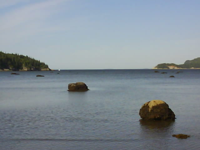
Parc Du Bic, St Lawrence Bay, Quebec Provence
Turning up at Trois Pistoles for the ferry across St. Lawrence Bay I was fortunate to arrive 45 minutes before the last trip of the day.
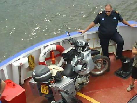
St. Lawrence Bay Ferry
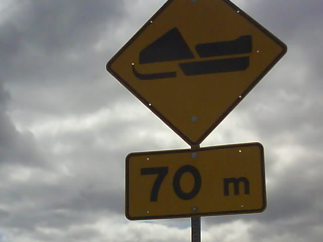
Beware Skidoos!
My journey followed routes 178 and 167 to Chibougamau then onto route 113. On this section there was a sign warning that there was 191km to the next filling station. Not a problem but an indication that it is time to start keeping an eye out for refuelling opportunities.
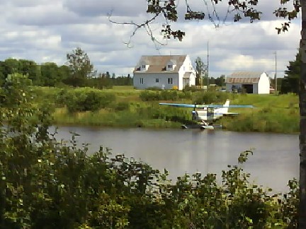
What's At The Bottom Of Your Garden?
There was very little traffic on these roads and with long distances between any sign of habitation it began to feel like I was reaching the edge of the vast wilderness of northern Canada.
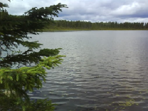
Lakes And Trees, Typical Scenery In This Part Of Canada
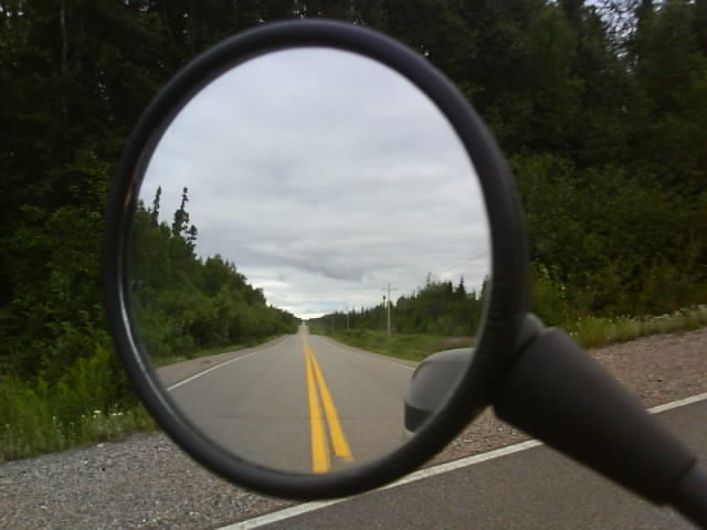
Nothing Behind....
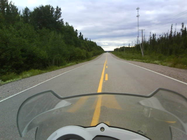
....And Nothing in Front
Taking a right turn onto route 397 took me onto a 70 mile section of dirt road, a well surfaced two lane highway. I was heading north of La Sarre to pick up route 652, another stretch of dirt road about 90 miles long. I was expecting another smoothish two lane highway but joined a very uneven stoney stretch that had to be negotiated in first and second gear. Assuming it would improve I pressed on until I came to a collapsed bridge. There were some ATV tracks running down the soft sandy side, through a small stream with a rocky bottom and out, up another soft sandy ramp. I rated my chances of getting through at 75% but if I did get stuck in the sandy sides I would probably have needed assistance to get out.
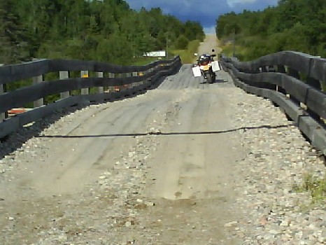
Uneven Bridge On Quebec Provence Unpaved Road
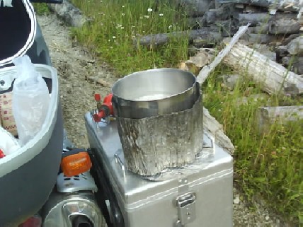
Time For Lunch
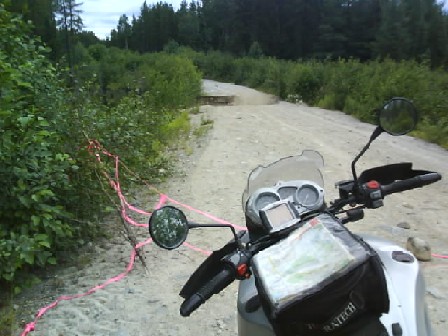
Collapsed Bridge, Normetal, Quebec Provence
Taking the collapsed bridge as an indication that the road wasnt in use and wasnt going to improve I reluctantly turned round to take the more southerly paved route through Matheson to Cochrane and Ontario.
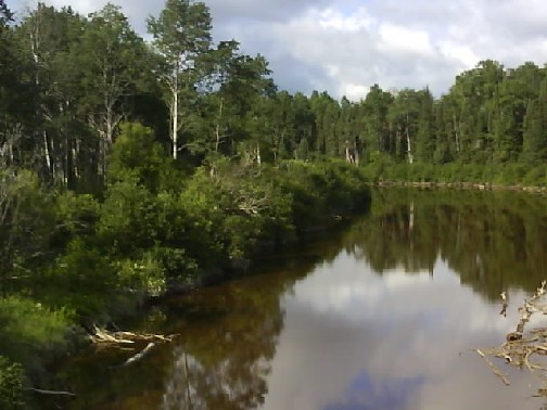
Lakes And Trees..... Lakes And Trees
