Death Valley
I made my escape from Las Vegas on minor roads avoiding the interstate as usual. I had wanted to ride through Death Valley from south to north then continue to Yosemite and through the Great Divide at Tioga Pass on Hwy 120. At 9948 feet, Tioga Pass was still closed due to snow from four feet to six feet deep across the road. My second and third choices of Hwy 108 or Hwy 4, both to the north of Yosemite were also closed.
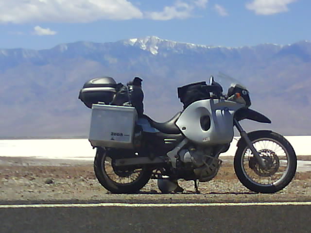
Shimmering Heat Of Death Valley Salt Flats
I entered Death Valley from the south as planned heading for Furnace Creek Campground about half way through the national park stopping at Badwater on the way. Badwater is the lowest point in the Americas at 282 feet (85.5m) below sea level. Not a place you would want to be if a tsunami struck!
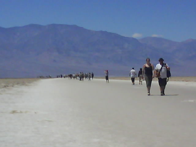
Badwater - The Lowest Lifeforms In The Americas
After setting up camp it was 95F (35C) in the shade which is where I spent the remainder of the afternoon reading my book. A night time low of 70F (21C) was forecast. The vast range of temperatures that vary according to altitude take some getting used to.
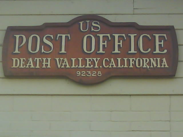
Death Valley Post Office
A park ranger told me the best route to Yosemite was via the interstate but I had spotted a narrow road running through Sequoia National Monument and Sherman Pass. I could find no information on Sherman Pass, there was no internet connection and nobody I asked knew whether it would be open. The height of the other passes were shown on the map but Sherman Pass wasnt which I took to mean it was significantly lower and possibly open. It was yet another little used twisting road climbing up into the mountains leading to the pass so I decided to ride up knowing that I may have to turn around if the pass was closed.
Death Valley Sunset
Taking this route meant leaving Death Valley halfway through. The Death Valley road further north was a dirt road which I had been told was made of sharp stones that ate tyres so at least I avoided that.
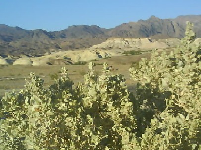
Death Valley
I rode through the Mesquite Flat Sand Dunes on the way out of Death Valley. There were lots of snake tracks in the sand but no sight of actual snakes. I was wearing a thin tee shirt and jeans as it was too hot to contemplate wearing the bike suit.
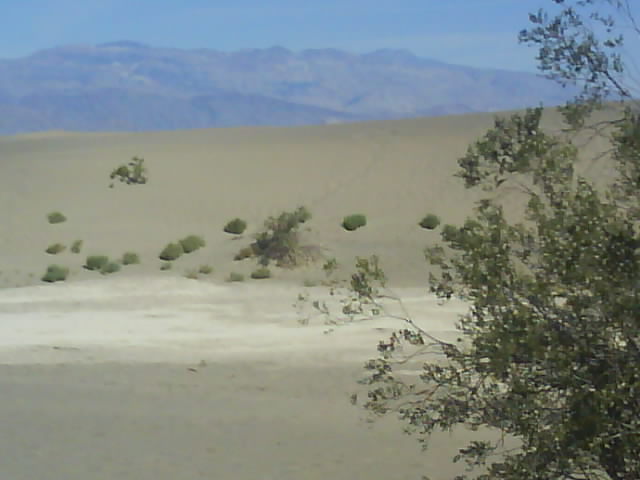
Mesquite Flat Sand Dunes
The road left Death Valley through Emigrant Pass at 5318 feet (1621m) which was getting a bit cool for the sexy tee shirt and jeans look. I took a short detour down a dirt road to the ghost town of Ballarat named after the Australian mining town. A sign said that the last resident had died in 1968 and was buried in boot hill however it looked like a few residents had moved back in. There was a small store and at least one other building that looked occupied.
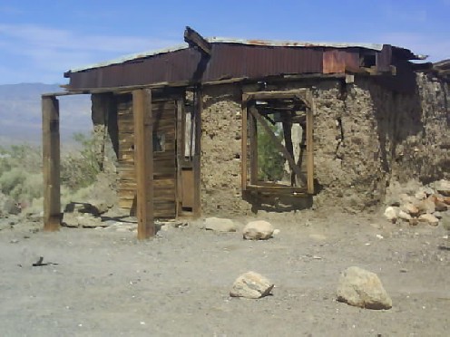
Ballarat 'Ghost Town'
Ten miles from Sherman Pass I was flagged down and told the road was definitely blocked by snow so I turned round to try my fifth option of getting through the Great Divide and if this one wasnt open I would have to take the interstate.

Ballarat 'Ghost Town'
Fortunately Walker Pass on Hwy 178 at a mere 5245 feet (1610m) was open and an added bonus of this route was that it took me through Sequoia and Kings Canyon National Parks. Roughly 130 miles later I was twenty miles west of where I had to turn around near the blocked Sherman Pass.
