Montana To HU Meeting, California (Or Is It?)
Having decided to head to Petrolia, California for the Horizons Unlimited gathering on 24th to 27th September 2009 and postpone winter accommodation hunting in Alberta I headed south from Waterton Lake National Park in Alberta for Montana.
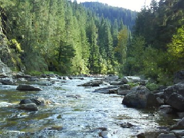
If David Attenborough Were Here There Would Be Bears Trying To Catch Leaping Salmon As Their Cubs played On The Riverbank
The nights have been cooler since arriving in the Rockies and I was heading for East Glacier Hostel just outside Glacier National Park rather than camping. I hadnt found any other hostels on my route to California other than one near the Redwood National Park in California. However the temperature should rise as I get further south.
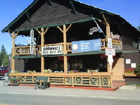
East Glacier Hostel, I Finally Get To Live Above An Ice Cream Shop
Montana
I arrived at East Glacier at the start of the Labour Day Weekend which traditionally denotes the end of summer. Most of the local footpaths started at Two Medicine Campsite inside Glacier National Park and about 12 miles from East Glacier.
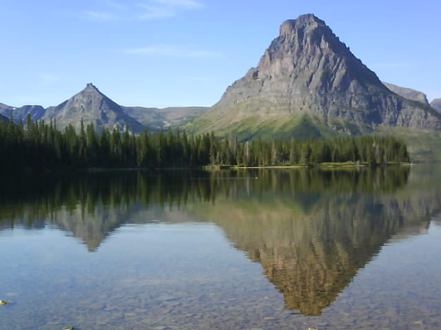
Two Medicine Lake, Glacier National Park, Montana
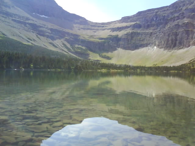
I did one walk to Old Man Lake which some would say was appropriate. The footpath continued over the Continental Divide to make an 18 mile circular walk but I wasnt carrying enough provisions and returned the way I came.
Old Man lake, Glacier National Park, Montana
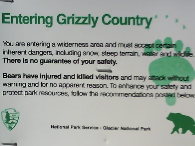
There were Grizzly Bears in the area although I, as usual didnt see any. I chatted to a number of people who had seen Grizzlies and there had been a number of sightings of a mother with triplet cubs.
Beware Of Grizzly Bears
Grizzly Bears dont seem to obey the rule of most wildlife - "If you leave them alone they will leave you alone". Still the chances of seeing one are fairly remote and the likelihood of one attacking is even slimmer. In England we ensure there is a fence between us and anything that can eat us. This reduces the excitement but does wonders for our peace of mind.
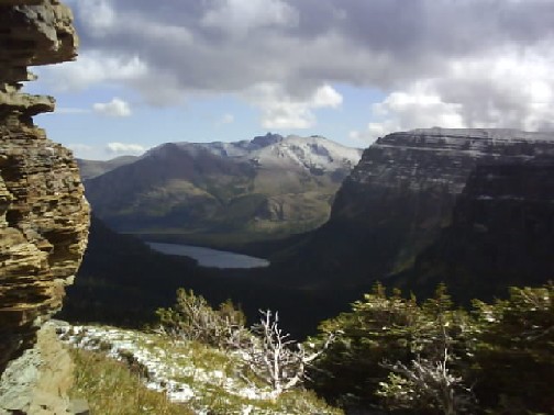
Rocky Mountains, Glacier National Park, Montana
A couple of days later I set out to do the 18 mile round walk over the Continental Divide. A few drops of rain fell as I rode to the starting point at Two Medicine Campground and it got heavier as I arrived. Putting on the wet weather hiking gear I thought the cooler temperatures might be better than the heat of previous days for a long walk.
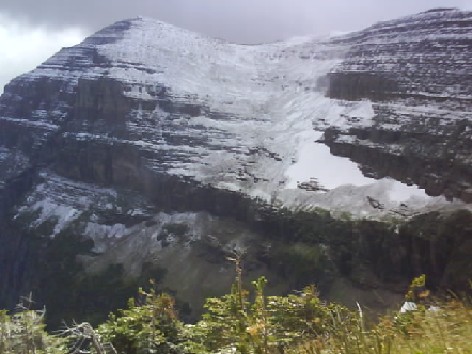
The First Snow Fell As I Was Halfway Up A Mountain
Snow had been forecast for higher ground for the last three or four days but hadnt materialised and it seemed far too hot for snow. However halfway up the rain turned to snow, the first to fall in this part of the Rockies this winter. I later learned that Glacier National Park holds the USA record for the largest drop in temperature, 70 degrees Fahrenheit (39 degrees Centigrade) in four hours.
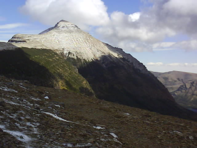
East Side Of The Continental Divide In Freezing Strong Wind Making It Difficult To Stand Up
There was a Park Ranger coming back down the path having checked that nobody was in trouble as conditions worsened at the Continental Divide. By the time I got to the top and the Continental Divide, a climb of 2500 feet, there was three inch deep patches of snow. The wind was strong enough to making standing difficult and was bitterly cold. The path disappeared a short distance on the west side of the Continental Divide in the scree and snow. I spent ten to fifteen minutes looking for the path and in that time my gloved hands went numb with the wind chilled cold, Being the coward that I am I decided to head back down the way I had come rather than continue to search for the path.
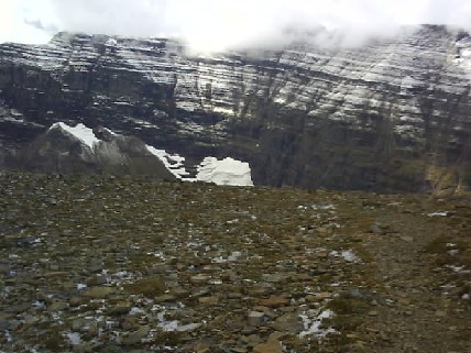
West Side Of The Continental Divide Was Colder Than The East
My fingers were hurting as they thawed out on the way back down. The only other times, and there has been many of them that I have experienced this is from riding motorcycles through the winter in England.
The weather improved for the return walk as I descended and I was fully warm again by the time I got to the bike.
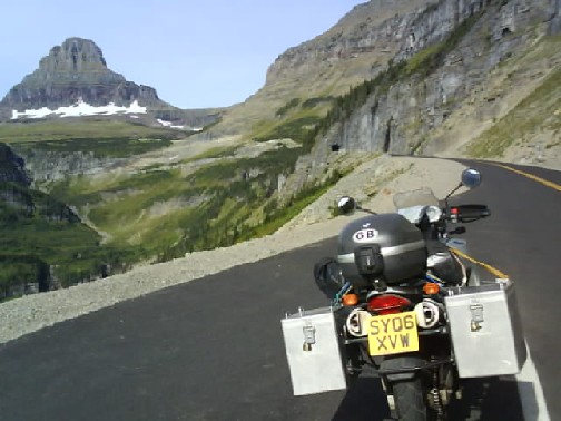
Road To The Sun, Glacier National Park, Montana
Leaving East Glacier via the Road To The Sun the mountain scenery was stunning. Unfortunately roadworks bunched the traffic up which meant I had to concentrate on the road a bit more.
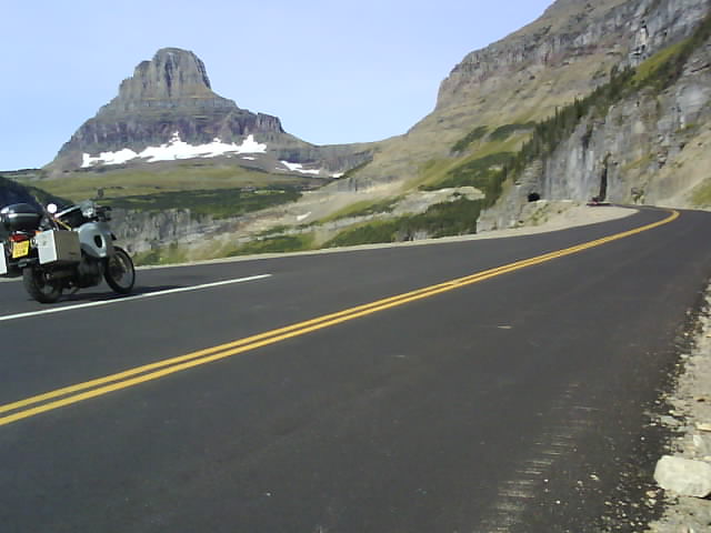
Road To The Sun, Glacier National Park, Montana
Idaho
There was an excellent stretch of road from St. Regis Montana to St. Maries, Idaho which included the St. Joe River Scenic Byway. The first stretch was on a dirt road but most of the route was paved and followed the St. Joe River. It might be a bit too narrow and twisty for travelling fast but it suited my pace perfectly.
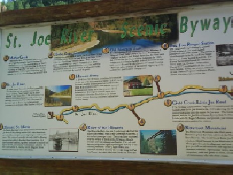
St. Joe River Scenic Byway, Idaho
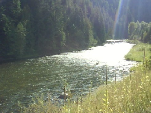
St. Joe River Scenic Byway, Idaho
Another good stretch of sweeping banked curves was discovered by accident. Approaching Lewiston, Idaho I took a wrong turn and ended up on Interstate 95 North. The GPS told me to make a U turn at a scenic lookout and when I pulled in I was at the top of Lewiston Hill overlooking the town. A 10 mile stretch of smooth banked turns had been built down to Lewiston as a demonstration of good road building. A great idea that Britain should take up.
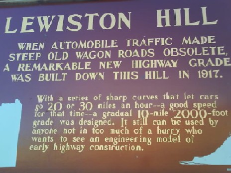
Lewiston Hill, Idaho
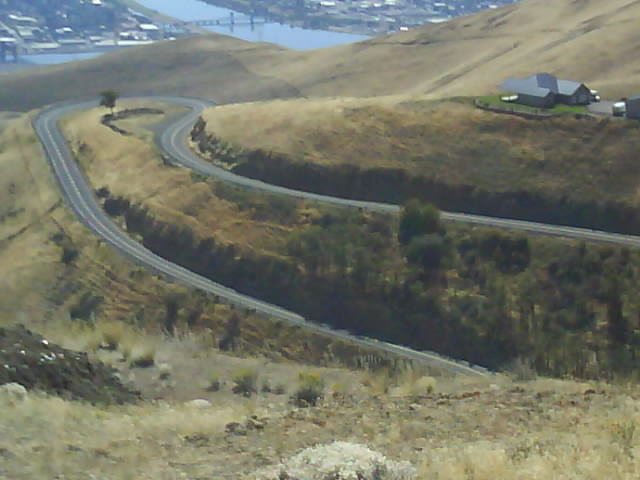
Lewiston Hill, Idaho
Continuing South West the temperature increased and the grass turned yellow. Wild fire warning signs were set to high or extreme rather than the low I was used to seeing. After the rain in central Canada I was fully prepared to take the risk of being involved in a wild fire in exchange for being warm and dry!
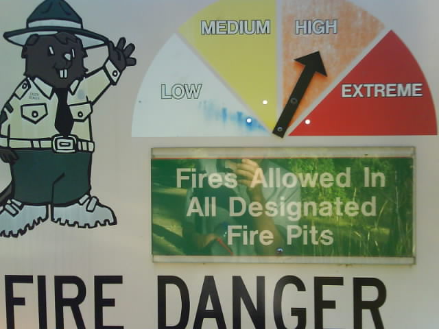
Wild Fire Danger
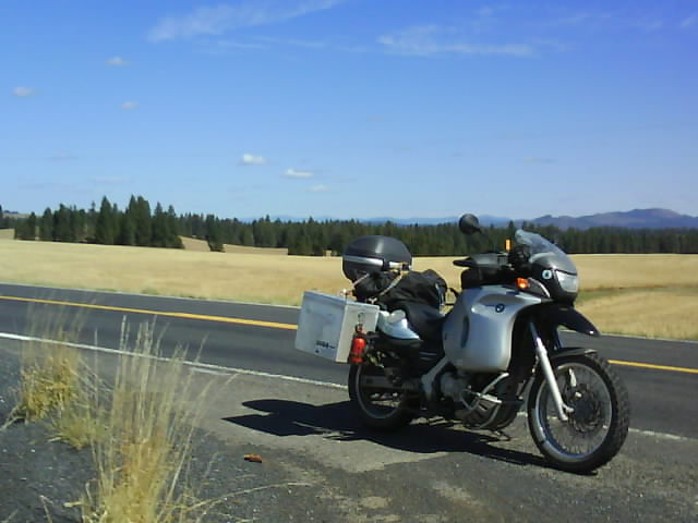
Idaho Dry Landscape
Washington State (Or More Truthfully A Tiny Corner Of It)
I just cut into the South East corner of Washington State on the way from Idaho to Oregon. Stopping At Fields Spring State Park for a couple of days to reacclimatise to warm weather was a pleasant break.
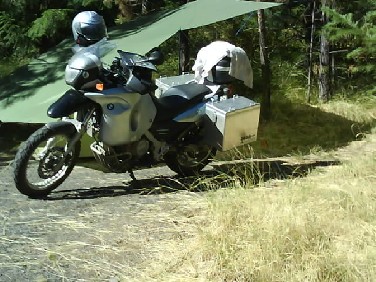
Fields Spring State Park Camp, Washington State
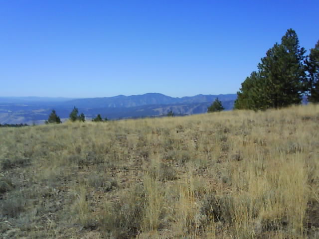
Fields Spring State Park, Washington State
Oregon
One leg of the journey from my campsite near Anatone, Washington to Elgin and La Grande, Oregon was a planned 110 miles with most of this on dirt roads in the Umatilla National Forest.
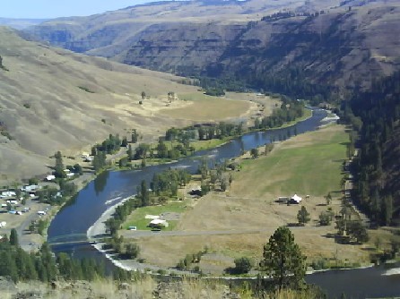
Troy, Oregon, The Start Of A Dirt Road Adventure
Plotting the route in the GPS had been difficult as what looked like a single road on the map was a maze of criss-crossing tracks. When I set off the GPS was wanting me to take tracks that were closed to vehicles either physically with logs or signs. Once I started recognising bits of track and realised I was going round in circles I picked a track using the GPS compass that was heading in the right direction. However this turned through 180 degrees in the direction I had came from so I admitted defeat, retraced my route back to the tarmac and came the longer route of highways 3 and 82.
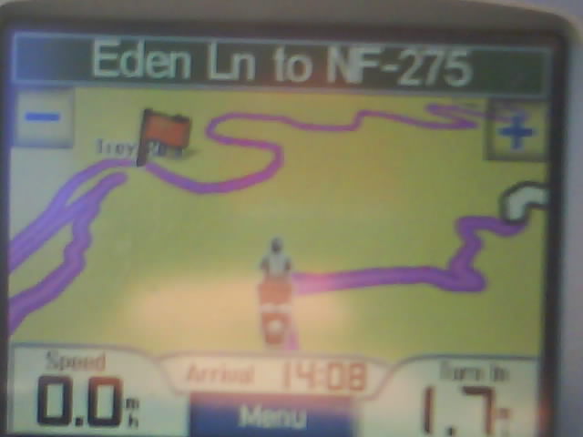
GPS Screen In Umatilla Forest. Purple Line Shows The Plotted Route. No Wonder The GPS And I Got Lost!
The journey ended up being 182 miles instead of the planned 110. At least I didnt have any deadlines to meet or places I had to be so I didnt mind too much getting lost in the forest. The tracks were fun to ride but maybe I need to brush up on my navigation.
.jpg)
Umatilla National Forest, Oregon (Is This The Way To California?)
The road I ended up on instead formed part of the Hells Canyon Scenic Byway. The weather was hot and the roads, as always good so I dont have too much to complain about.
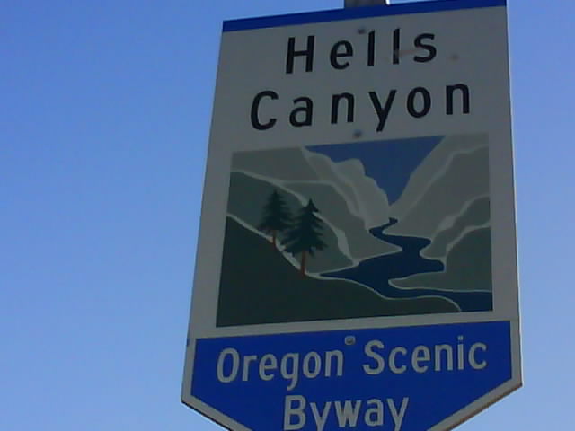
Hells Canyon, Oregon
On the way to Bend, Oregon on highways 244, 395, 19 and 26 I passed through Picture Gorge. The dark basalt rock was formed by lava flooding through cracks in the earths surface. Subsequent movements of the earth have tilted and broken up the layers and erosion has reshaped the landscape.
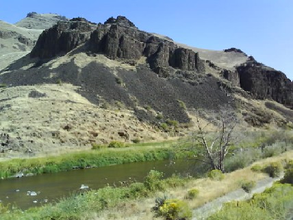
Picture Gorge, Oregon
Just like the old days of the wild west most of the land is used for cattle ranches.
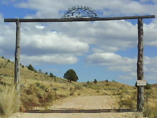
Oregon Ranch Entrance
I was staying at Umalo State Park near Bend, Oregon when I had an email from friends Jack and Mary about a position on a cattle ranch in Montana. I would be looking after two cabins, some out buildings and fences in return for free accommodation. A flurry of emails and phone calls later and I had to make a choice. I could go to Montana for an interview or continue to California for the Horizons Unlimited meeting. I was only 400 miles from Petrolia, California and the ranch in Montana was 885 miles in the opposite direction. There wasnt time to go for the interview then go to California without covering ridiculously high mileage for several days which wouldnt be fun and would leave me too drained to enjoy the meeting.
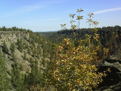
Umalo State Park Near Bend Oregon
I had been looking forward to the Horizons Unlimited weekend particularly as Ted Simon, the author of Jupiters Travels and Dreaming of Jupiter among other books was going to be there. I saw Ted Simons Triumph in Adelaide, Australia when he was on his first journey round the world although I didnt know who he was at the time. A few years later I received a copy of Jupiters Travels for Christmas and recognised the bike immediately. This book and the later Dreaming of Jupiter sowed the seeds for my trip.
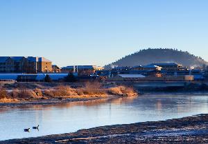
Bend, Oregon - I Had To Visit In Case I Was Accused Of Going Round
When I first had the idea of spending the winter up north I envisaged a log cabin on a hillside in the middle of nowhere. Dismissing this notion as unrealistic I had spent time looking at more achievable options in Alberta and intended to return to Alberta after the HU meeting. I now had the chance of that cabin on a remote hillside for free and had to go for it.
During this trip I have set off most days with no particular destination in mind, taking my time and rarely covering more than 200 miles each day using smaller minor roads almost exclusively. Now I decided to get an early start on the fastest available route and cover as many miles as possible. Whilst I would definitely choose to travel at my normal leisurely pace and see the sights on the way there was an excitement in just eating the miles for a change. I covered 760 miles from Bend, Oregon to Big Sky, Montana leaving a comfortable 125 miles or so the next day to the ranch.
The cabin and the summer pasture it is on look amazing. Stunning views and lots of wildlife. An hour from the nearest town when the road isnt blocked by snow and 2.5 miles to the nearest neighbour. I was delighted when I was offered the position. I am now learning my way round the ranch by checking the fences on foot and A.T.V. Im also doing trips to town to stock up on books and food to sustain mind and body during the weeks when Im snowed in. If I survive the winter with sanity intact I will continue the travels by heading north to the Yukon and Alaska. I aim to keep up the blog through the winter although I wont be travelling far and will be storing the bike away for the winter at the end of October. Im off to Yellowstone National Park next week which may be the last bike trip of 2009.
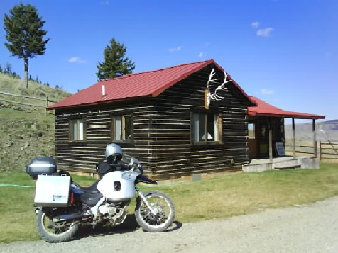
My Winter Home
I have done 15,000 miles since leaving Miami in April and had a fantastic summer. Im looking forward to winter on the ranch and continuing the travels in the spring of 2010.
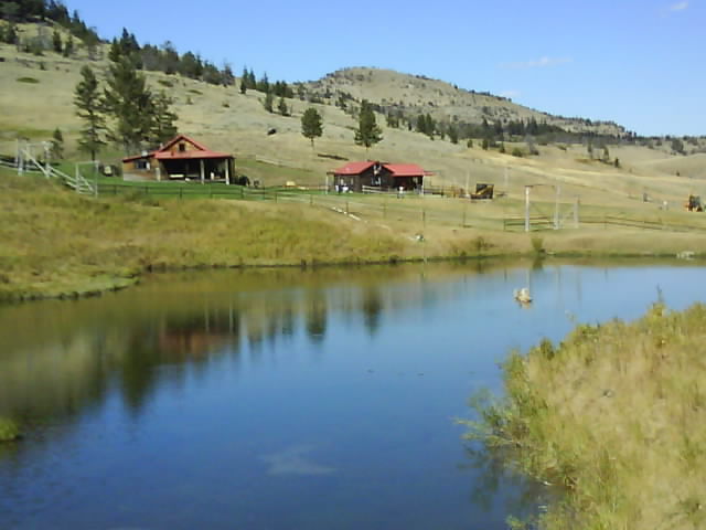
The Nearest Neighbour Is 2.5 Miles Away

