Bits Of Utah, Colorado and Arizona
I feel like a bit of a tourist dashing from one place to another in an if its Thursday it must be Arches National Park kind of way. Were all tourists really of course but some of us with illusions of grandeur prefer to think of ourselves as more worldly wise 'travellers'.
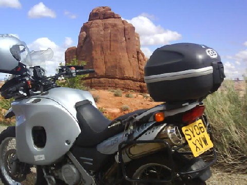
Arches National Park, Utah
In order to see everything I want to see in the western USA I have abandoned a couple of my personal travel rules I set myself last summer:
(1) Only ride around 200 miles per day which leaves time to do other things and is
the right distance for me to enjoy the travelling and not get fixated on the
destination.
(2) Always stay at least two nights when staying overnight. If you dont you wont
see much of the place your staying at.
The third rule of avoiding interstates I try to keep to but will use them on occasion.
Maybe my three travel rules explain why I have been in the USA so long and why the Department of Homeland Security insist that I leave in September!
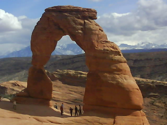
Delicate Arch, Arches NP, Utah
Following my dash south to warmer weather I based myself in Moab, Utah as it had a hostel, The Lazy Lizard for cheap accommodation and a number of national parks nearby.
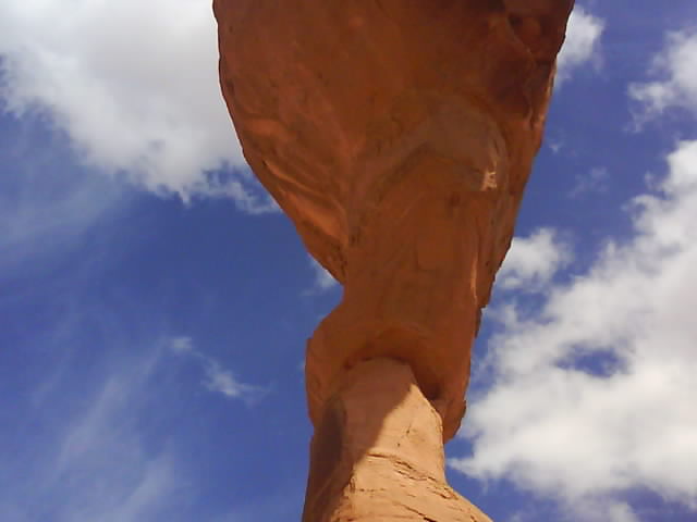
Underneath Delicate Arch
Arches national park has a 24 mile long road running through eroded, sculptured rock formations with a number of short footpaths. The arch most people would be familiar with is called Delicate Arch and is at the end of a mile long uphill footpath. I returned for a second visit hoping to photograph it in the red light of the setting sun. Cloud cover muted the colours somewhat but it was still well worth climbing the hill a second time.
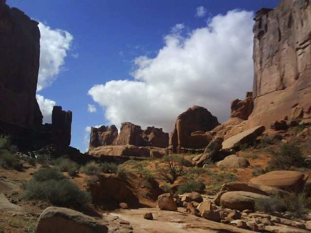
Arches National Park, Utah
Another arch on the footpath from the end of the road was wider and much more delicate than Delicate Arch. A 60 tonne section had fallen from the underside resulting in the park authorities closing the footpath that went under the arch. Rather than close the footpath they should erect a warning sign saying something along the lines of: This Arch May Collapse At Any Time, Have A Nice Day.
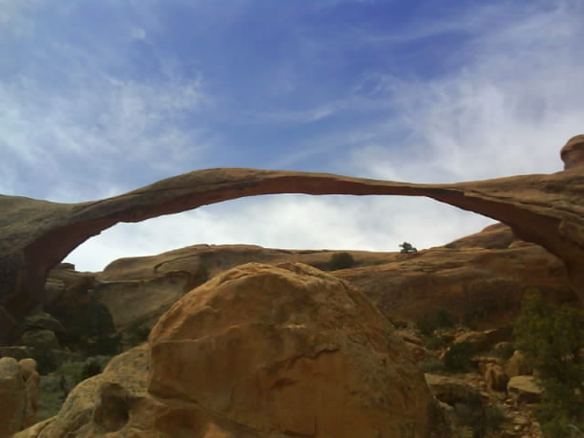
This Arch May Collapse At Any Time, Have A Nice Day
Canyonlands national park is huge with two entrances forty miles apart. I visited the northern section, Island in The Sky one day and the southern Needles section another where I walked 11 miles to the confluence of the Green and Colorado rivers following small cairns marking the footpath. The different coloured waters of the two rivers could be seen slowly intermingling as they flowed downriver.
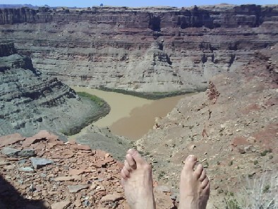
Two Feet To The Bottom : Colorado/Green River Confluence, Utah
One day I took a 68 mile circular ride following the Colorado river on the scenic highway 128 then climbed up to 11,122 feet in the La Sal Mountains. I reached the snow line before returning to warmer altitudes in Moab.
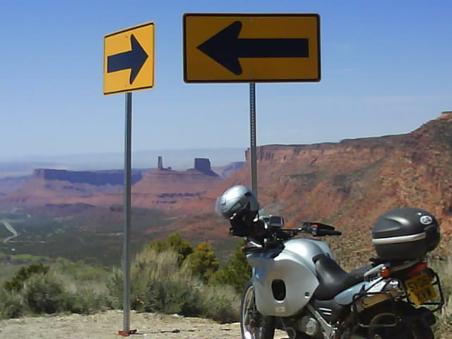
The Roadsigns Confused Me But Fortunately Garmin Knew The Way
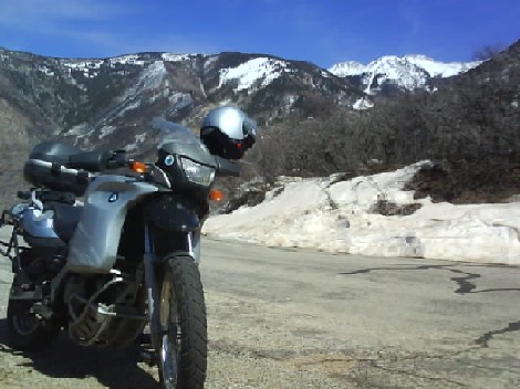
La Sal Mountains, Utah
After a week in Moab I headed for Mesa Verde national park in Colorado via Silverton and the San Juan mountains which I translated as Saint Ian.
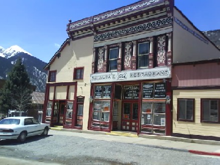
Silverton, Colorado
Silverton is a Victorian ex mining town which has retained many of its original buildings. Like a lot of similar places around the world it now makes its money from tourism. A train brings the tourists into town and takes them away again three hours later. One local old timer told me he made sure he kept away as the towns population was temporarily boosted from 500 to 1500.
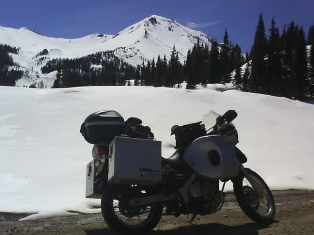
San Juan (Saint Ian) Mountains, Colorado
Mesa Verde has impressive ancient Pueblo ruins dated from 600 AD to 1200 AD. Many utilise difficult to get to natural alcoves and ledges on the cliff sides so presumably security was their number one priority although the cliffs also provided shelter from the elements.
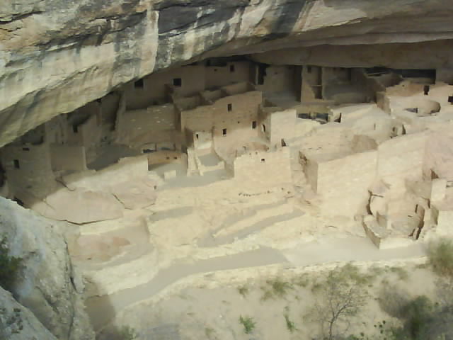
Mesa Verde, Colorado
The earliest dwellings at Mesa Verde were pit houses built above the cliffs and sunk several feet into the ground. I have seen ruins in the north of Scotland built this way.
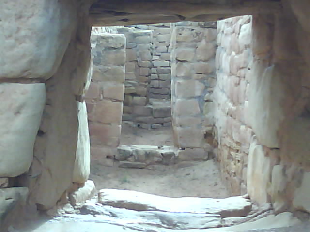
Mesa Verde, Colorado
There were more 13th century Pueblo ruins at Hovenweep national monument in Colorado, mainly built on the plateau above the cliffs this time. I saw yet more stone arches at the Natural Bridges national monument in Utah. I was going to camp here but the main campsite was full. A park ranger told me where I could legally wild camp a few miles away but I decided to press on. With hindsight I should have opted to wild camp at Natural Bridges national monument.
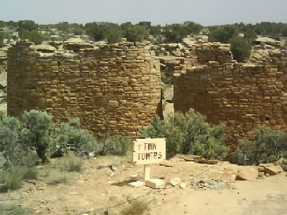
Hovenweep, Colorado: They Build UK Houses This Close Now
The 261 road south from Natural Bridges national monument towards Arizona was good, particularly a three mile dirt section which dropped dramatically down a cliff face with numerous hairpin bends (switchbacks for Americans). The wind was picking up and visibility looked bad further ahead. The tumbleweed was rolling across the road reminiscent of the 'Cowboy And Indian' films of my childhood. Soon I was experiencing my first sandstorm which was exciting to say the least. Wind speeds in excess of 50mph were blowing me across the road while half the Arizona desert found its way into my eyes and the other swirled in front of my visor so that I wouldnt have been able to see even if my eyes werent full of Arizonas finest.
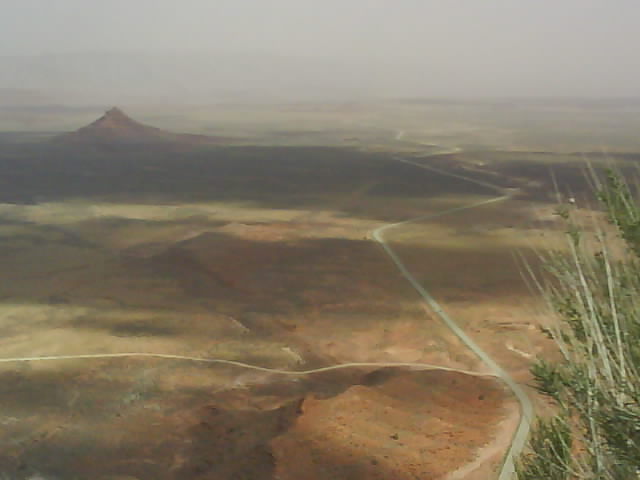
Hwy 261, Utah Disappears Into An Approaching Sandstorm
The sandstorm was still raging when I arrived at Monument Valley Navajo Tribal Park, the location for many western films. I had hoped to camp here but the wind would have ripped any tent to shreds. The bike never stopped rocking whilst it was parked on its side stand. I fully expected it to blow over but there were no other parking options while I checked on accommodation. Monument Valley hotel cost an arm and a leg so I decided to risk my neck by riding to the nearest town in search of a cheaper place to stay.
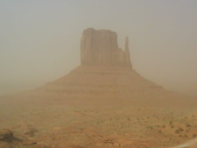
Monument Valley, Arizona In Sandstorm
I took some atmospheric pictures from the visitors centre which as it turned out was all I got to see of Monument Valley as I had ridden too far to return the next day.
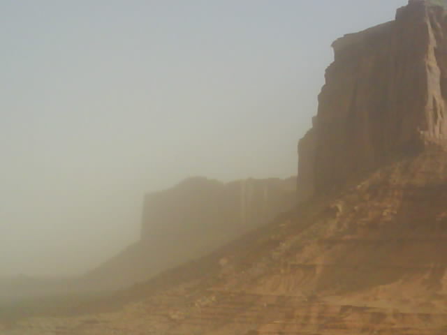
Monument Valley, Arizona In Sandstorm
