Argentina (North)
The previous Andes Pass that I had crossed, the Paso ChungaraTambo Quemado between Bolivia and Chile had been very cold. I could have worn extra layers if I had realised that the road climbed up to 4660 metres but the lack of internet had prevented me from researching the route. In preparation for the Jama Pass from San Pedro de Atacama, Chile to Argentina I did plenty of research and was expecting a long, tough cold day. The Jama Pass is higher than Paso ChungaraTambo Quemado at 4825 metres (15,681 feet) and further south which in the southern hemisphere means colder, something Im still coming to terms with.

Jama or Sico, Choice Of Two Roads To Argentina
Although I had a long ride ahead of me, I followed the border officials advice and got to the Chilean customs and immigration offices on the outskirts of San Pedro de Atacama an hour or so after they opened when the early morning queues had died down. This had the additional advantage of allowing the temperature to rise from below freezing to pleasantly warm. It took twenty minutes or so to officially exit Chile followed by several hours riding east to the Argentinean border post before actually leaving Chilean soil. The climb up to Jama Pass and the Argentinean border was a bit cold but with my full compliment of layers, not uncomfortable. I was able to enjoy the mountain scenery of snow capped mountains and frozen lakes as the road swept up to the alto plano. The wind was strong enough to make it necessary to slow down when passing trucks in either direction to avoid veering off course in the lee of the truck.
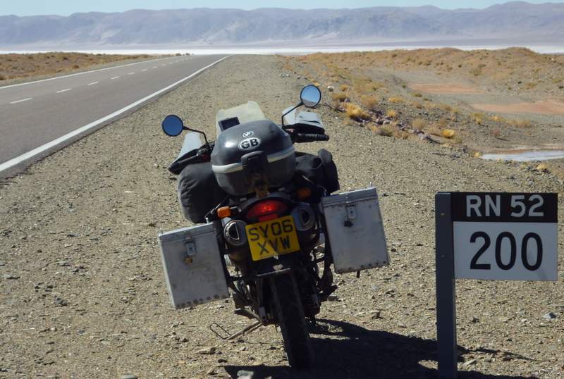
200km (125 Miles) More To Go To Get To Purmamarca, The First Argentinean Town
At the head of the pass and the Argentinean border post the strong cold wind continued but fortunately customs and immigration were inside heated buildings. The bike was rocking in the wind when I parked which was a bit unnerving but it didnt look like it would actually blow over. From the border post it was a long ride on the alto plano. Although any ponds, lakes and streams at the side of the road were frozen; the afternoon temperature and my multiple clothing layers kept me warm. The Salinas Grande salt flats provided a change of scenery and an excuse to stop for a quick sandwich lunch.
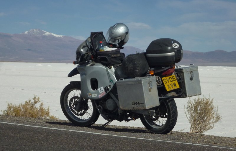
The Salinas Grande Salt Flats
As I started my descent I could see clouds below me, the first I had seen in a while as the Atacama Desert had produced nothing but clear blue skies. The dampness in the air as I passed through the cloud made it cold but once I was in clear air again it warmed up. Jama Pass turned out to be a breeze, Not as cold as the ChungaraTambo Quemado Pass, Argentinean immigration and customs paperwork was carried out in a heated building, the road was good and the scenery even better.
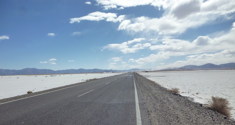
Salinas Grande, Argentina
I hadnt selected a particular destination for the day's ride as I didnt know how long it would take to get over the Andes. I arrived at the first town along the road, Purmamarca at 4pm and started to look out for accommodation and typical of me found fault, usually looking too expensive; with each place I saw. The high altitude still made camping a last resort option as it would be cold at night but the road continued to descend through Tumbaya and Volcan where I again rejected each hotel I saw. I decided I would definitely go no further than San Salvador de Jujuy but as I approached from above I could see it was a large town. I didnt have any addresses of hostels or campsites in S. S. Jujuy and in my experience the larger a place is the longer it takes to find what your looking for. Salta wasnt much further south and I had a campsite and several hostels in Salta saved on my GPS. I thought I could just make it to Salta before it got dark and decided to press on.
There are two roads between S. S. Jujuy and Salta, the main road makes a long loop to the east and back again or there is the much shorter Ruta 9 which on my map looked like a direct straight line between the two cities. I opted for the shorter Ruta 9. I was curious as to why the shorter, direct route wasnt shown as the main road and thought I had taken a wrong turning when I discovered the reason why. The paved road was barely wider than a two lane cycleway and wound its way through parkland and forest. The trees and greenery were a refreshing change from the dry dusty Atacama Desert and despite coming to the end of a long days ride and wanting to find accommodation before it got dark I still enjoyed the final leg of the journey.
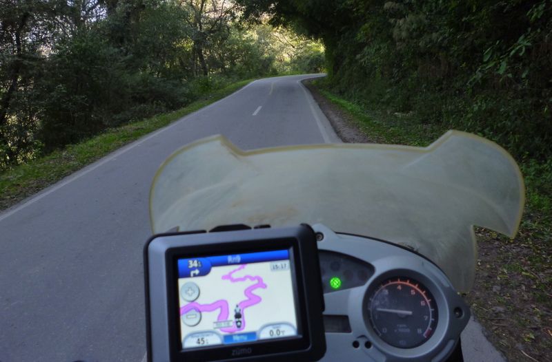
Ruta 9 From S.S. Jujuy To Salta
A couple of days later, after exploring Salta I went for a day ride without luggage back through the Ruta 9 parkland as far as a reservoir with picnic tables. The first time through the park I had been trying to get to Salta before dark and didnt have time to stop for photographs so it was nice to enjoy the scenery at a more leisurely pace.
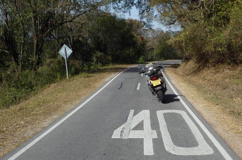
Ruta 9, North Of Salta, Too Narrow For The Speed Limit Sign
I arrived at the GPS location for the Salta Campground at 7pm after ten hours of riding the bike a total of 361 miles (578km), crossing the Chilean - Argentine border and various short stops for photographs. It was almost dark, there was no sign of a campground and if it was somewhere close by it wasnt an area I wanted to spend time in, still urban but a long way from the city centre. I eventually found a hostel within walking distance of the centre after dark but it didnt have motorbike parking. I ended up having to pay almost as much to park the bike as I did to stay in the hostel myself. Tired, hungry and grubby I opted for a quick shower followed by a visit to the nearest restaurant where I was delighted to discover that the rumours are true, the best steaks do come from Argentina.
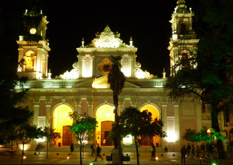
Salta Plaza
I thought I might catch up with Nick in Cafayate, a tourist town in one of the Argentinean wine regions. We are following similar routes and timescales so run into each other now and again. Nick had given me details of the campsite he was staying in and warned that the weather was similar to the Atacama Desert, dry and warm during the day but cold at night. Once out of the seemingly never ending suburban traffic of Salta the scenery improved as the road ran through sculptured red rock country similar to the national parks of Utah that I had visited earlier in my trip. I also saw a snake warming itself on the road, turned around and rode back, not sure if it was alive or dead at the time but it had disappeared and therefore presumably alive.
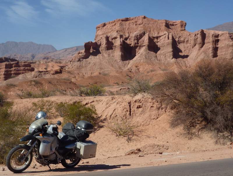
Red Rock Country North Of Cafayate, Argentina
Nick had moved on when I arrived at the Cafayate campground and as he had advised, it was cold through the night although ok if you dressed rather than undressed before going to bed. The following day there was a wind blowing from the north which was strong enough to pick up and carry dust into every nook and cranny. Where I come from a northerly wind brings the cold but in the weird and wonderful world of the southern hemisphere everything is the wrong way round. That night, instead of putting clothes on before wriggling into my sleeping bag as I had done the previous night I ended up sleeping on top of my bedding in a state of near nakedness (not a pleasant image and I urge and advise you not to dwell on it). And that was it, the end of cold nights, an amazingly quick turn around of the weather within twenty four hours. For the rest of my stay in Cafayate and for weeks afterwards it was either warm or hot day and night.
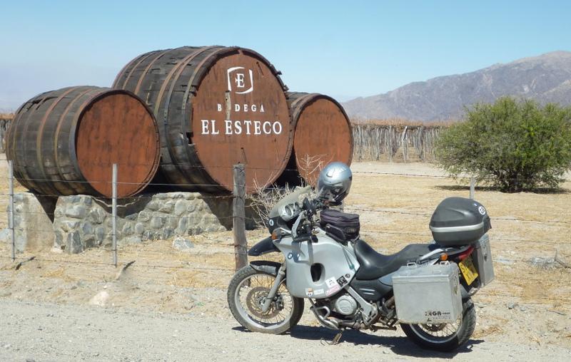
Cafayate Vineyard
Ruta 40 is the famous Argentinean road that runs from its northern border with Bolivia to Cabo Virgenes, near the Straits of Magellan, about as far south as you can go by road. It is one of the longest roads in the world at over 5000km (3107 miles). I came across it for the first time at kilometre marker 4364 just north of Cafayate. I havent worked out my route south yet but I expect to be crossing and travelling along Ruta 40 from time to time.
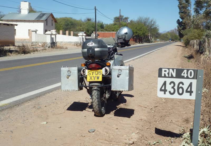
My First Encounter With The Famous Ruta 40
Argentinean street names are often named after town, cities or places within Argentina and a not uncommon one is the Islas de Malvinas (Falkland Islands). They also have road signs proclaiming that the islands belong to Argentina. A few people have raised the issue of the Malvinas with me but the only heated discussion I have had was with an Argentinean living in Ecuador who got very irate and excited; swearing that; Argentina would get The Malvinas back one day.
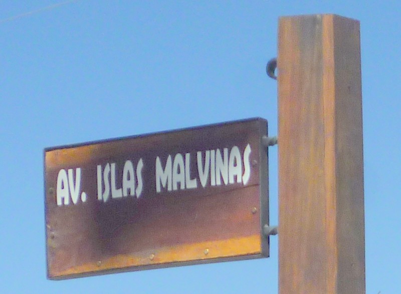
Islas Malvinas (Falkland Islands) Avenue
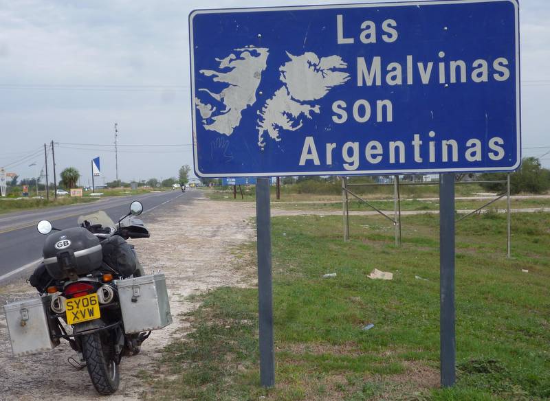
The Malvinas (Falkland Islands) Are Argentinean
My next destination was Iguazu Falls on the Argentine, Brazilian, Paraguay border which; by the route I took was over 1200 miles (1920 km) to the east. The roads were straight and flat running through dusty agricultural land. The villages were quiet sleepy places with the usual collection of small corner shops, all selling the same supplies but little else in the way of amenities. They didnt even have internet cafes which was unusual. Further north all the villages would have at least one internet café which is usually the centre of activity for the teenagers.
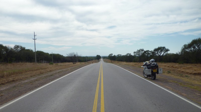
The Long Straight Road To Iguazu Falls
