Alaska
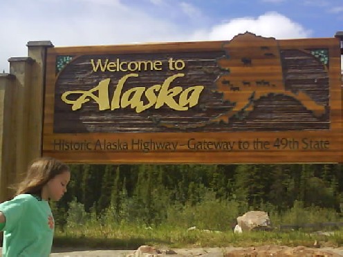
It's A Long Way From Almost Anywhere
There were rain clouds up ahead while waiting to be processed by immigration and customs at the Alaskan border. Once through the border I wanted to get as many miles as possible done before it started raining but was delayed 20 minutes at road works waiting to be convoyed through. Rather than use traffic lights at road works in the USA you are stopped by a person then a pilot vehicle takes a convoy of vehicles through controlling the speed.
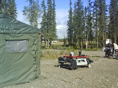
Loading The Bike From Tok Arctic Tent
Fortunately I made it to Tok before the serious rain started and was able to get an arctic tent which saved having to put my own tent up in the rain. An arctic tent has four walls and a pitched roof made up from several layers of thick canvas. There was plenty of room to store gear out of the rain and room to move around, stand upright luxury. I had planned on continuing riding the following day but it was raining steadily and looked to continue for the rest of the day so decided to stay in Tok. I was joined in the arctic tent by a cyclist who had flown his bike to Fairbanks and was cycling home to California. We discussed the pros and cons of cycling and motorcycling and both of us thought we had the best vehicle for the job which is how it should be. It rained heavily all day which produced some local flooding. Motorcyclists were seeking shelter wherever they could find it. The next day was dry so staying in Tok was the right decision.
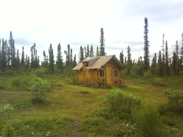
Possibly The Best $20 I Have Ever Spent, Slana Traditional Cabin Hostel
Not wanting to get caught in the rain without accommodation I had booked into the Slana hostel which was only 65 miles from Tok but a guaranteed dry night. On arrival I found I had a traditional log cabin with wood burning stove, old fashioned oil lamps and an outside toilet. All very reminiscent of the Alaskan pioneers including the half mile round trip to the spring to carry water. I thought it was one of the best $20 I ever spent.
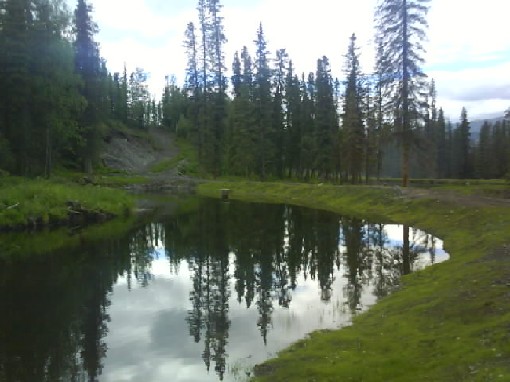
Slana Hostel
Slana hostel owners Steve and Joy were original homesteaders getting the land virtually free in the 1980s provided they improved it and built a home. The same criteria that applied a hundred years ago and more when the west was opened up for settlement.
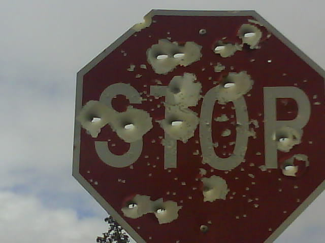
Alaskans Use Higher Calibre Ammunition To Kill Their Road Signs
I was heading for friends of friends, Walter and Susie in Palmer. On arrival I had time for a quick shower and then whisked off to a barbecue across town. More amazing hospitality and great food ensued over the next few days as I visited local sights and went to Anchorage to get dirt tyres fitted.
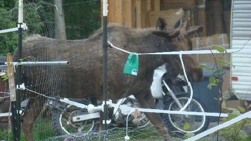
Moose In Garden Towering Over Motorbike
Moose would come into the garden and became a regular sight which made up for last summer in Canada where they hid from me apart from a brief distant appearance on my last day in Saskatchewan.
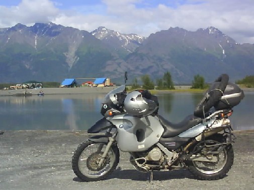
BMW F650GS, 2006 Model With Low Seat Height Option (Susie's Dad Take Note)
I came over Hatcher Pass, a fairly rough dirt road on my way further north to try out the new tyres. It was raining and much of the road greasy and slippery so it turned out to be a good test for the tyres and thankfully they passed with flying colours. The rain and mist meant that I missed any scenery along the way. I was surprised at the number of people camping along the roadside especially considering the weather but it was the 4th of July weekend and camping on any of the long weekends is the thing to do.
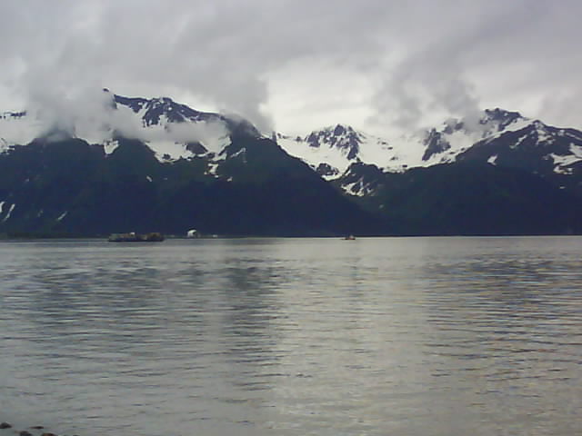
Fjord Between Anchorage And Seward
Talkeetna claims to be the inspiration for the TV series Northern Exposure, it certainly has more than its fair share of quirky characters. There were a bunch of guys hanging around the hostel all day eating and watching films and rarely rose from a horizontal position. However rather than the degenerate youth of today as I first thought they had just returned from a 16 day successful climb of Mt. McKinley and were in fact mountaineering superheroes.
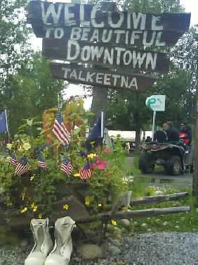
Talkeetna On July 4th
The 4th of July Independence day parade and other celebrations were held in Main Street, Talkeetna although why the USA want to celebrate separating from the motherland is beyond me. I was in upstate New York on the 2009 Independence Day so maybe I should think about moving on from North America and try to get a bit further round the world.

Talkeetna 4th July Parade
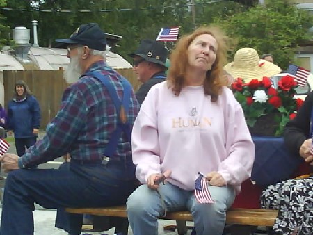
Talkeetna 4th July Parade
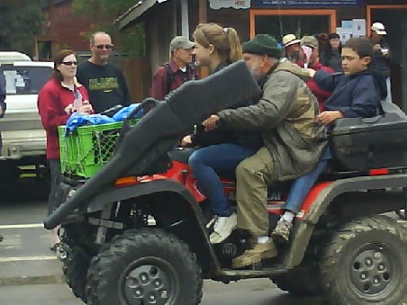
Alaskan ATV With That All Essential Guncase Accessory
Part of the celebrations was a Mountain Mothers contest. Contestants had to demonstrate their skill at chopping wood, shooting a bow and arrow, fly fishing and hauling water. All tasks any self respecting mother needs to survive the tough Alaskan lifestyle!
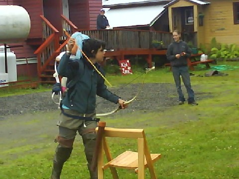
Talkeetna Hostel Owner Holli In The Mountain Mothers Competition
It rained most of the way from Talkneetna to Denali National Park. My main Alaskan ambition was to see Mount McKinley so I had booked into the nearest campsite at Wonder Lake 26 miles from the mountain and 85 miles into the park. I had met someone that had just left Wonder Lake who described it as a mosquito infested swamp but this was an exaggeration, the swamp was a good half mile away although she was right concerning the mosquitoes. Fortunately the rain stopped as I arrived and loaded a pannier full of camping gear and three days supply of food onto the shuttle bus. Private vehicles arent allowed into Denali but the park provides camper buses with some seats removed to carry all the camping equipment.

Mount McKinley Behind Cloud 75 Miles Away
Although I arrived an hour before my bus was due to leave I just managed to complete the paperwork and didnt have time to grab anything to eat before boarding the bus for the 6 ½ hour journey to Wonder Lake. The bus has regular stops and also pulls up whenever wildlife is spotted. We saw wolves, caribou and moose close up and six blonde grizzly bears that were light coloured spots on the hillside unless you had binoculars and I didnt.

Wonder Lake, Denali National Park
We arrived at Wonder Lake at 8:30pm and it was after 10:00pm by the time I had the tent up, made something to eat and fed the mosquitoes the first of many meals. Having sat on the bus all afternoon I decided to go for a walk. It is well over a week since it has been dark and Im getting accustomed to 24 hours of daylight. I walked a six mile trail and got back to the tent in broad daylight at 1am.

Mount McKinley Almost Fully Revealed
Mount McKinley is normally concealed behind cloud any many visitors never get to see the mountain but on my last full day it was visible for two hours in the morning and two hours around midnight.
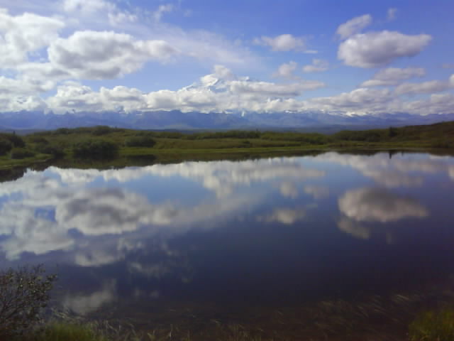
Mirror Lake, Denali National Park
Mount McKinley is more often referred to now by its native American name Denali (High One). It is 20,320 feet high and the highest mountain in the USA but its main claim to fame is that it rises from its surrounding plateau higher than any other mountain in the world. It is 18,000 feet from the plateau at Wonder Lake to the summit. Everest rises 10,000 feet above its plateau. Climbers have to climb further from base camp to summit on Denali than any other mountain.
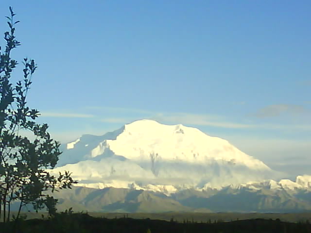
Mount McKinley At Midnight
Having fed the mosquitoes one final time I boarded the bus to be reunited with my bike. There was a wolf cub, a dall sheep and two golden eagles posing close to the road and more grizzlies, moose and caribou appearing as moving dots on the distant hillside.
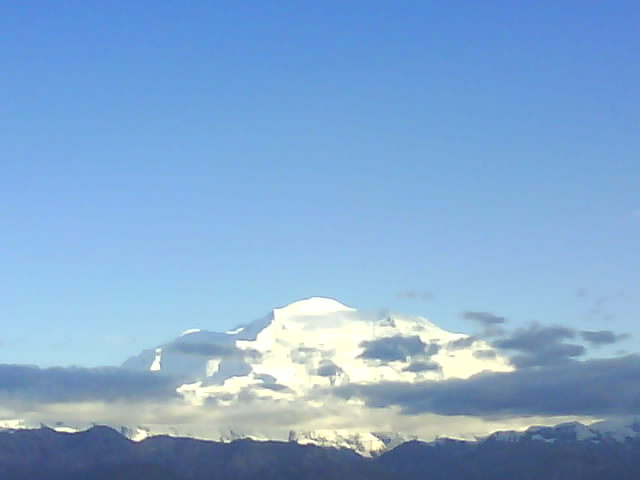
Mount McKinley At Midnight
Whether it was coincidence or not I dont know but north of the Alaskan Range the weather got hotter and drier. Fairbanks, 200 miles south of the arctic circle was in the 80s Fahrenheit (27+ Celsius) while I was there and it wasnt due to get dark until sometime in August.
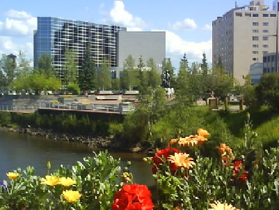
Fairbanks Basking In 89F (32C) And Only 200 Miles From The Arctic Circle
I carried out the 30,000 mile service on my BMW F650GS in Fairbanks, the first time I have serviced this bike. There were no problems apart from dropping the oil tank drain plug into the dirty oil but everyone does that dont they?
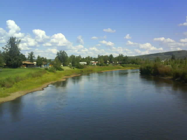
Chena River, Fairbanks
I had wanted to cross the Arctic Circle providing the weather was agreeable. If you were allowed to ride to the Arctic Ocean I would have been tempted but you have to complete the last few miles by bus for security reasons. I decided to just go as far as the Arctic Circle, get THE photo and head back, a round trip of just over 400 miles up the Elliot and Dalton highways from Fairbanks. I took food and camping gear in case it took longer than I thought or encountered problems partly because I hadnt been able to find out how much of the road was paved. 400 miles of dirt road in one day is more than I have done for a long time.
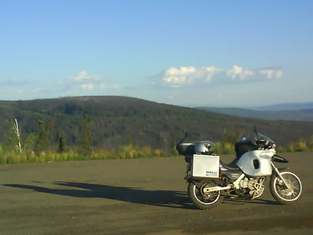
Dalton Highway
I got an early 3:45am start and had a very quiet ride seeing only 15 vehicles in both directions on the whole 200 mile trip. Six of those vehicles were in the last four miles for some strange reason. I envisaged a queue of vehicles and people at the arctic circle sign waiting their turn for photographs but I was the only one there for 20 minutes.
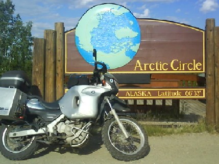
Time To Turn Around And Head South
The return trip from Fairbanks to the Arctic Circle took me 11 hours with a breakfast stop at the Yukon River on the way north. There are a few stretches of dirt road on the Dalton Highway but the Elliot Highway leading out of Fairbanks is paved apart from a few short sections. The road undulates over and weaves around hills with good views apart from this big pipe running alongside the road!
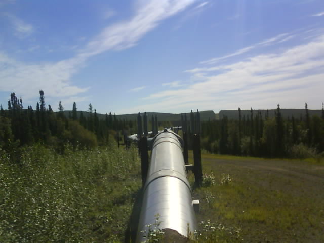
Alaskan Pipeline
Leaving Fairbanks for the Top Of The World Highway from Tetlin to Dawson the rain steadily increased and I stopped earlier than planned at Tok. I was sheltering from the rain in Tok on the way north as well so I have only seen the place dripping wet. I was staying in the same Arctic tent that I used before and was joined by a father and son from the lower 48 riding BMW F1200GSs who were also heading south.
The forecast rain didnt materialise the following day and I set off for the start of the Top Of The World Highway. When I got to the turn off eleven miles south of Tok there was a barrier across the road and a sign saying the road was closed.
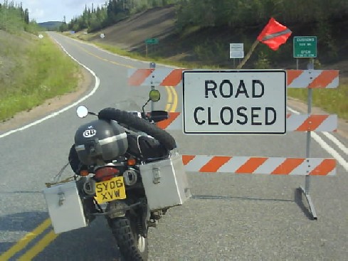
Top Of The World Highway Closed
While I was looking at the map and pondering on what to do a vehicle came down the road so I flagged it down to see if they had any information. The road had been washed out east of Chicken, at milepost 67 by yesterdays rain. I was keen to ride this highway and visit Dawson, the town closest to the Klondike goldmines. I also intended to take highway 4 from Carmack to Watson Lake after leaving Dawson so that I would be returning by a completely different route to that taken on my way north. I decided to ride to Chicken 66 miles up the road thinking that I could spend the night there if necessary and the road would be repaired by the following day. However when I arrived a workman trying to clear a drainage ditch on a small localised flood said 20 miles of road had been washed out beyond where he was and the road would be closed for days if not weeks.
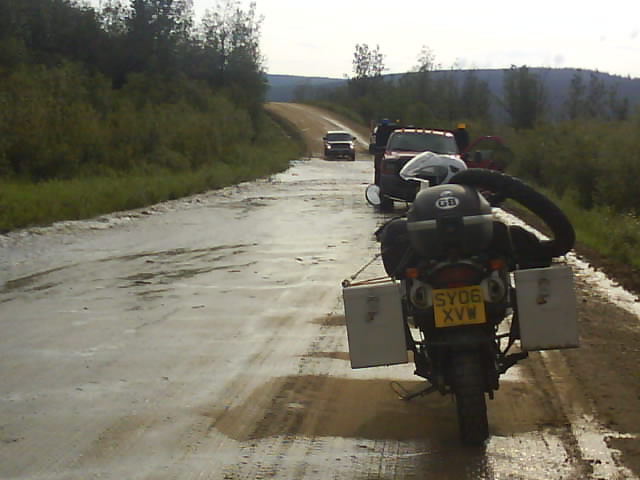
Localised Flood Near Chicken On The Top Of The World Highway
Reluctantly I retraced the 66 miles back to highway 2 and headed south to the Canadian border following the route I took to Alaska.
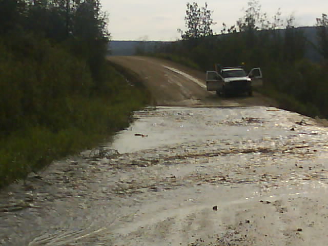
All Part Of The Adventure, 20 Miles Of Road Was Washed Away Just Beyond This Point
