Costa Rica (South)
Santa Maria de Dota is a small Tico (Costa Rican) village in a valley below the Talamanca Mountain Range fifty miles (80 Km) south of San Jose. I had booked a night in a bed and breakfast hotel in the cloud forest above the village and was to meet the owners in front of the church in the main plaza so that they could lead me to the B&B which they had said was difficult to find. I followed their four wheel drive out of town as we wound our way up the mountainside on rougher and rougher tracks. It started to drizzle as we entered the clouds but fortunately it wasnt much further to go.
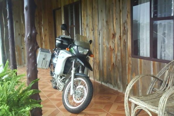
My Talamanca Mountain Home
After exploring the forest I settled into a bamboo chair on the veranda reading my book and watching the ever changing scenery as the cloud drifted down then cleared for a while. I was surprised at how cold it got as the sun went down and had to put a shirt and jumper on over my tee shirt. Despite having two blankets on the bed it was so cold that I kept my clothes on when I went to bed. It has been well over six months since I have worn more than a single layer of clothing or felt the slightest bit cold so it made a refreshing change.
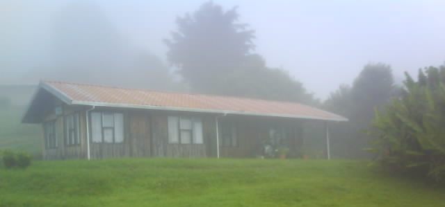
They Don't Call It Cloud Forest For Nothing
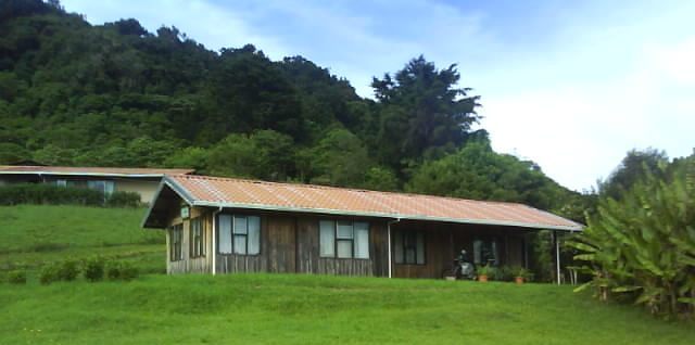
The Cloud Continuously Drifted In Then Cleared Again
It had rained through the night and the ground was decidedly soggy so I took my time over the enormous breakfast to allow the track to dry out a bit before riding back into Santa Maria de Dota and onto the Pacific coast. The mountain scenery south along the Pan American Highway was stunning as usual and the traffic was light enough to enjoy the view which isnt always the case on the Pan American. I was going to ride into San Isidro de El General to have a look at the town and possibly stay the night but the traffic was at a standstill so I backtracked a short way to highway 243 which wound its way down to the coast at Dominical and then followed the coast south to Uvita and the Marino Ballena National Park (Marine Whale N.P.). It still felt comfortable riding the bike but as soon as I stopped the heat and humidity swept over me as if I had opened an oven door. The difference from the previous day in the mountains a short ride away was expected but nevertheless intense.
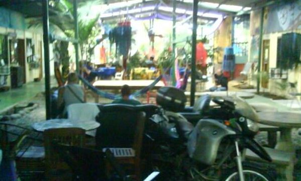
Cover For Me And The Bike At The Tucan Hotel & Hostel, Uvita
I stayed in the Tucan Hostel in Uvita, a great place to chill out and relax which was just as well as I didnt have the energy to do much more than that as I reacclimatized to the heat and humidity. My front tyre was soft when I stopped so I pumped it up hoping I didnt have a puncture but it slowly deflated over three days. Luckily there were a number of tyre repair places in Uvita and I had a spare tube so I re-inflated the tyre, rode to one of the repairers and paid $7 (£4.50) to have the new tube fitted, much better than wrestling with the tyre myself. Ive been fortunate with punctures on this trip, this is only the second one I have had in 41,500 miles (66000 km), the first was just outside San Francisco which I changed myself but I had to get a bus into town to buy a new tube as the old one had a two inch split in it that I couldnt patch. I bought spare tubes in San Francisco wondering what I would have done if I had a punctured tube that couldnt be repaired in the middle of nowhere, particularly if the weather was intensely hot, cold or wet. I have repaired the punctured tube to carry as a spare for now but will replace it with a new one at the next opportunity.
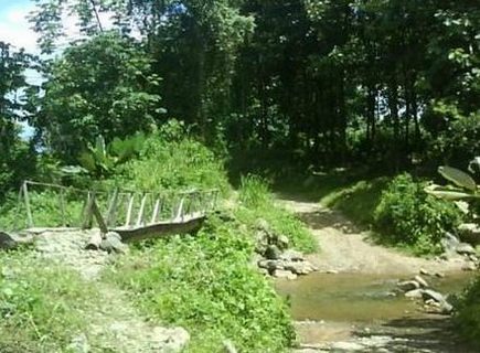
Exploring The Tracks Around Uvita
Marino Ballena National Park (Marine Whale N.P.) at Uvita is named after the humpback whales that migrate here between December and April to breed before returning to the icy cold northern waters of Alaska. Unfortunately I am here at the wrong time of the year to see the whales; however I was lucky enough to see a humpbacked whale leaping out of the water and doing vertical dives on the Gaspe Peninsular in Quebec Province in 2009 during the first summer of this trip. The national park incorporates four beaches covering six miles (ten km) of coastline. There are signs warning of crocodiles at the small river outlets. A number of adventurous visitors were ignoring these signs and wading waist deep across one of the river mouths without any discernible blood loss.
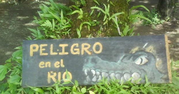
Spanish For 'I'm Hungry Please Swim Here'?
I saw my first scorpion in Uvita calmly walking down the centre of a footpath. It was bigger than I expected; about two inches long (5cm); longer if you were silly enough to straighten its tail out! It was a good reminder to watch where you put your feet; especially if wearing sandals, I also started shaking out my boots again before putting them on, something that is recommended as numerous exotic creepy crawlies find the inside of footwear an attractive place to visit for some bizarre reason.
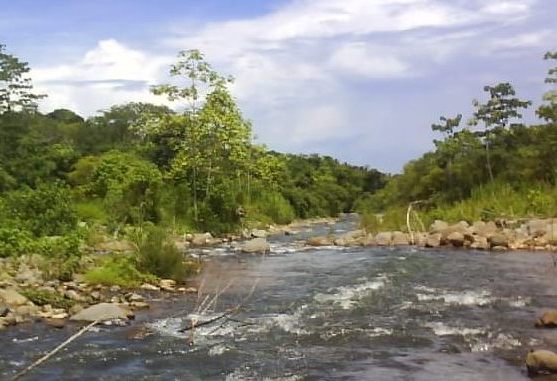
Uvita River
After a couple of weeks in the heat and humidity of the coast I was looking forward to getting back into the mountains, I prefer the roads, scenery and the cooler weather of the mountains although the downside is all the rain at this time of year. It had rained a few times in Uvita but it was dry most days. I was heading for San Vito near the Panamanian border where the forecast was for rain every day, I was hoping it would be similar to San Jose where it rained most afternoons but was normally fine until about 2pm.

Track Through A Bamboo Grove Inland From Uvita
The road took me south along the coast until I joined the Pan American Highway once again and headed inland alongside the Terraba river. This was another quiet stretch of road although possibly the trucks had found an alternative route as there were a number of landslides which had washed up to half the road down the embankment towards the river. At least makeshift barriers had been put up to make the missing road sections more visible. Once I left the Pan American Highway and continued south the potholes got bigger and more frequent the higher I climbed and the closer I got to San Vito. It started to rain towards the end of the journey, the first time I had ridden in the rain with the panniers on the bike since they were repaired in Honduras. I suspect the panniers may not be 100% waterproof anymore in a prolonged downpour but I was pleased to find everything dry after half an hour of steady rain.
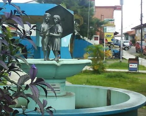
San Vito Central Plaza Or Park
Parking the bike beside the small San Vito central plaza I found a hotel on foot, the easiest way with the one way system and town traffic. I picked a place on the main street, primarily because it had covered off street parking for the bike and I was anticipating plenty of rain. The volume of traffic using the steep main street was surprising, because of the one way system all the traffic coming into or leaving town had to pass down it. Large trucks regularly passed the hotel using their noisy Jakes compression engine brakes. I had never heard of these in Europe but most trucks in the Americas are fitted with them. In the USA there are signs stating that the use of these brakes is illegal in towns due to the noise pollution. In addition to the traffic noise road works involving pneumatic drills and mechanical diggers started up at 10:30pm and continued through the night for the first three nights. They do the work at night so that they dont disrupt the daytime traffic which is a great idea unless you happen to live in the street.
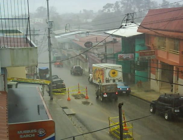
Rainy San Vito Main Street With Overnight Roadworks
San Vito was established by Italian immigrants in 1952, the first tree was felled to start clearing the ground on February 28th making the town six days older than me. Settled by farmers, they cleared land for a runway to get supplies in then set about creating the town and the surrounding coffee plantations, coffee is still the main industry. It is the only place in Costa Rica where Italian is taught in the schools and the town has a reputation for keeping to its Italian roots. I cant say that I was aware of it, maybe they have always had pizza restaurants in San Vito but now every town in the Americas (and Europe) has them!
The rain in San Vito is pretty much continuous apart from early morning which was sometimes dry. I found a weather web site which breaks each day up into eight hour periods. In the week that I was there the driest period was Thursday morning with 4mm of rain and the wettest was Sunday afternoon with 50mm of rain. The total rainfall for the week was 355mm (14 inches). At least it is warm with temperatures in the low 20s centigrade (around 72F) but all the rain restricts riding the bike and walking.
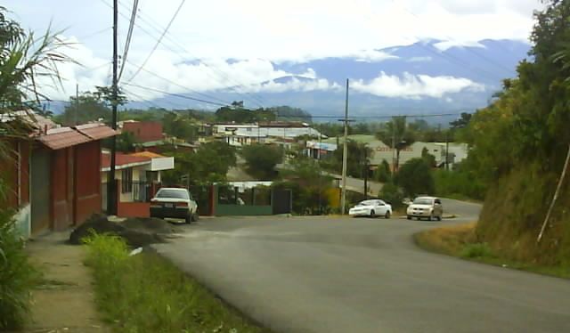
The Road Above San Vito On The Only Day The Roads Were Dry
On the morning when the least rain was due to fall I rode the short distance to the Las Cruces Biological Station which is home to the Wilson Botanical Garden in light drizzle. The gardens have an estimated 2,000 species of plants, more than 400 bird and 113 mammal species and has the second largest collection of palms in the world.
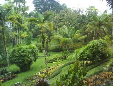
Wilson Botanical Garden
Footpaths, very muddy footpaths when I was there take you to the different sections of the gardens. The drizzle eventually eased then stopped which brought out lots of butterflies, some bigger than the hummingbirds flitting about. Im still fascinated by hummingbirds which I have seen regularly from southern Texas and on through Latin America. For instance, how do they breed? Clearly a hummingbird would fit inside an egg but there cant be enough room inside a hummingbird for an egg.
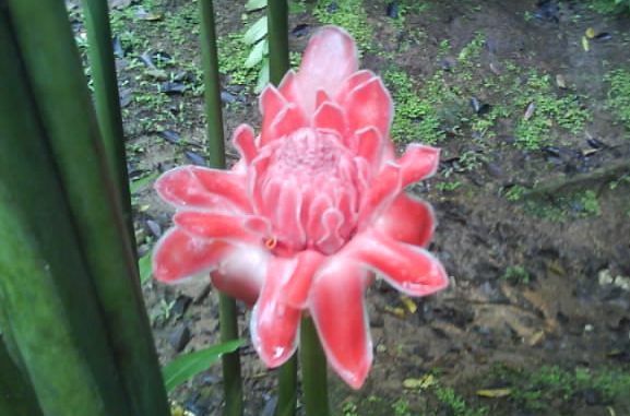
One Of The 2000 Plant Species In The Wilson Botanical Garden
I walked around the grounds wearing my (almost) waterproof motorcycle oversuit until the forecast heavy rain started at lunchtime making the slippery muddy footpaths even more slippery and misting up my glasses so that I couldnt see. I cut my visit short and slithered back to the bike, motorcycle boots arent designed for these conditions. Riding slowly back to San Vito in the rain I was wiping my visor almost continuously in an attempt to get an occasional glimpse at the road.
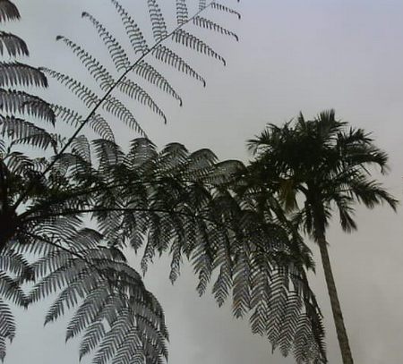
A Rain Filled Sky Above The Wilson Botanical Garden
I originally planned to ride from San Vito through Ciudad Neily to the main Panama border crossing at Paso Canoas on the Pan Americana Highway. This crossing has a reputation for being a chaotically frustrating experience but there are few alternatives. There is a border crossing at Sabalito / Rio Sereno only five miles (eight km) from San Vito which isnt shown on my fairly detailed map. I had read that there was no customs office on the Costa Rican side so it wasnt possible to enter or leave with a vehicle which is probably the reason the map publishers dont show the border crossing. A blog entry from three or four years ago said that the roads on the Panama side of the border to Volcan, the first proper town were a series of unmarked dirt tracks which at this time of year could be awash with mud or washed away completely. I had dismissed trying this border as I didnt think I would be allowed to take the bike through if there wasnt a customs office and if I did get into Panama I could then be stranded by impassable dirt roads and not be allowed back into Costa Rica as you are supposed to stay out of the country for at least three days before being allowed back in. This rule is apparently aimed to make life a little tougher for the foreigners who live permanently in Costa Rica with tourist visas and have to exit and re-enter the country to renew their visas. It doesnt seem much of a hardship to me; having to spend a long weekend in Panama or Nicaragua once every three months.
All the rain meant I spent more time than usual in my hotel room so I utilised some of it to further investigate the Rio Sereno border and came across an 18 month old blog entry on the Adventure Rider website. The rider had crossed the border from Panama to Costa Rica without a problem and said there was a new paved road from Volcan to Dolega on the Panama side of the border that rivals the famous Tail Of The Dragon road in the USA with mountain scenery comparable to Switzerland and New Zealand. This got my juices flowing and further research suggested that there was now a Costa Rican Customs office for clearing the bike and that the new road has been extended right up to the border on the Panamanian side so its Panamanian Tail Of The Dragon time.
I had to ask directions at a junction between San Vito and the border and the last few miles were on a dirt road which was easily passable despite all the recent rain. The border offices were close together in Rio Sereno although not particularly well signposted but it wasnt a problem as there were officials around to get directions from. There were no queues and I was invited to sit in the various offices while the paperwork was processed by friendly staff.

Rio Sereno Border, Costa Rican Immigration
There was an insurance office on the Panamanian side of the border for purchasing the compulsory motor insurance but not one on the Costa Rican side. Riders entering Costa Rica from Panama have to leave their bikes at the border and get the bus into town, purchase insurance then return to the border to collect their bikes.

The Final Procedure, The Panama Quarantine Station Where The Wheels Are Disinfected
The road and scenery from Rio Sereno to Volcan turned out to be excellent although there were no road signs and I had to get directions to find the right road out of Rio Sereno. If the Paso Canoas border crossing is anything like its reputation I would recommend taking the detour north to Rio Sereno through the coffee plantations and mountain scenery if travelling south. Coming north into Costa Rica is a bit more of a hassle because there is no insurance available although I did read that if a group of riders turn up one of them is allowed to ride into town and get insurance for the group but this would be at the discretion of the officer on duty. Im now looking forward to finding the new Volcan to Dolega road, hopefully when it isnt raining.

In Panama, The Road From The Border To Volcan
