Death Valley To Yosemite And San Francisco
Having taking my fifth option of passes through the Sierra Nevada Mountains as the first four were closed due to snow I rode through Sequoia National Forest and Giant Sequoia National Monument climbing up into the snowline and dropping into warm valleys several times a day.
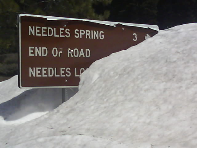
In The Sequoia National Forest Snow
Finding a campsite on the shores of Lake Kaweah, California in a lower altitude with warm, dry weather I camped for a couple of days. The lake level was rising with the melt water from the snow and ice higher up. Some of the lower camp pitches were flooded and the levels rose sufficiently that the campsite had to close on the day I left. The camp notice board warned of Tarantulas and Western Diamond Backed Rattlesnakes but I didnt see signs of either.
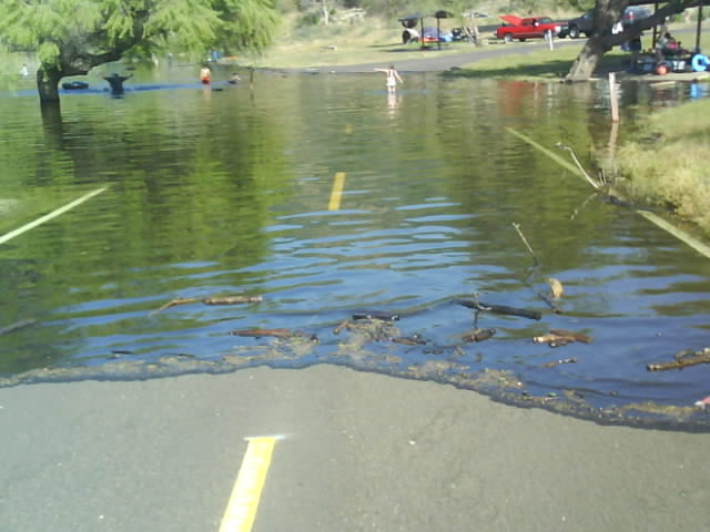
Flooded Kaweah Lake Campsite
I had an extended lunch with a number of hot and cool drinks at a WiFi café sitting on a balcony overlooking a fast flowing river. At 4pm I was told that the café was closing but if I wanted to, I could stay on the balcony using my laptop and let myself out of a side gate. I was about to pack up and leave anyway but by the time I had put the laptop away the door into the café was locked. Hurrying round to the front via the side gate I told the staff who had just locked up that I hadnt paid for all the food and drink I had. As they had already locked up I was told I could have the meal on the house which was very nice of them.
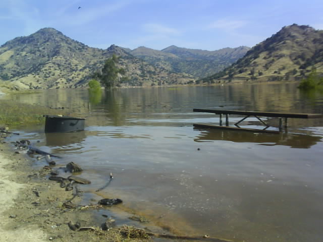
Rising Water Closed The Campsite On The Day I Left
I was back into snow by the roadside at Sequoia National Park, the home of General Sherman, the largest tree by volume in the world.
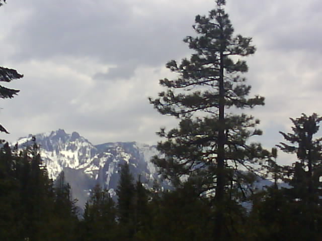
Snowy Sierra Nevada Mountains From Sequoia National Park
I remember seeing pictures of a live tree from Sequoia NP that had a hole cut through the trunk and a road driven through it. Unfortunately this rough treatment eventually killed the tree and it fell down. There is now a road through a tree that had already fallen down in 1934 instead but this road was closed to traffic due to the snow. I walked up the road through 'tunnel log' to the closed Crescent Meadow Campsite. The snow was up to two feet deep on about half the road with other sections clear.
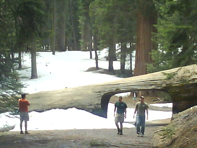
Tunnel Log, You Can Normally Drive Through Here But Snow Had Closed The Road
A car had been trapped at the campground for the winter and had damage to most panels including the roof and the mirrors and wipers were hanging off. A window was smashed but personal possessions were still in the car so presumably all the damage was done by the weight of the snow which must have buried the car through the worst of the winter.
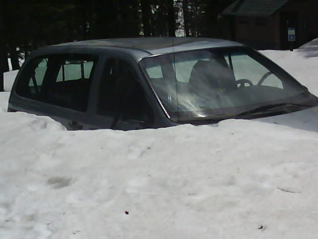
Car Trapped For The Winter Was Severely Damaged By Snow
The General Sherman Giant Sequoia Tree is 275 feet high and has a circumference of 103 feet at the base. Other trees are taller or wider but this one is the largest in the world by volume. It is between 2300 and 2700 years old and still looking good.

General Sherman Giant Sequoia - The Largest Tree In The World
There was a black bear 20 yards from the road as I was leaving Sequoia National Park. Fifty or Sixty tourists were trying to get photographs and several park rangers were stopping them getting too close so I decided not to stop and swell the crowd further.
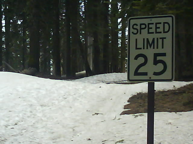
25 MPH Looks A Bit Optimistic Today
All the campsites at Sequoia NP were in the snowline so I continued to Kings Canyon National Park and camped in the canyon bottom. Unfortunately it rained the day I spent there and I got a few strange looks as I walked the canyon forest wearing a motorcycle oversuit to keep dry.
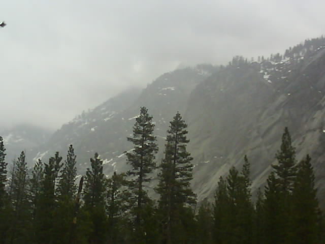
Kings Canyon National Park, California
The following day I rode towards Yosemite National Park. The Yosemite campsites were all fully booked although one smaller campsite is reserved for first come, first served campers without bookings. I stopped at a National Forest campsite a mile from the park boundary intended to get into the park early the next day and try to get a space at the first come, first served campsite. The national forest campsite was in the snowline although most of the snow had melted leaving the ground damp. In the morning I had to strap the wet tent from the condensation rising from the ground to the outside of the panniers and get into Yosemite in search of a campsite.
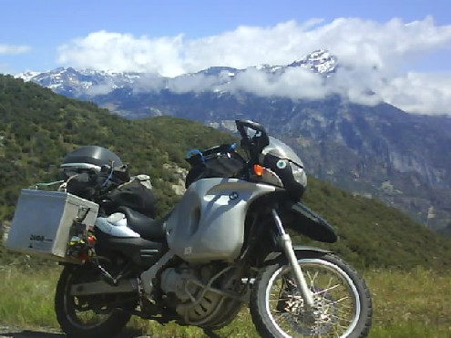
Sierra Nevada Mountains From Kings Canyon NP
Roadworks in the park delayed me with numerous temporary traffic lights. It was nearly lunchtime before I got to the campsite and it was fully booked. I later learnt that people start queuing at 5:30am to get sites being vacated later that morning. I ended up riding 30 miles out of the park to a hostel. I seem to be having more trouble finding accommodation this summer on the west side of the USA than I did last summer in the east. Hopefully things will improve after Memorial Day weekend at the end of May when all the campsites should be open.
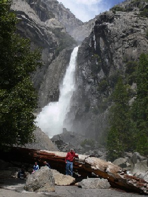
Yosemite Waterfall
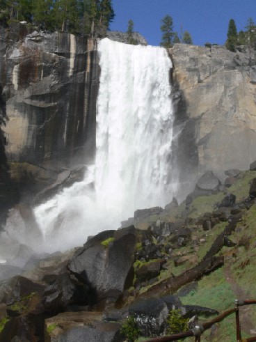
The following day on returning to the park there was room at the campsite but I had already decided to move on and had booked accommodation in San Francisco. There was a walk following the river to a waterfall, Vernal Fall which I thought would be a stroll along the river to a viewpoint of the Fall but it turned out to be a steep climb to the top of the waterfall.
Vernal Fall, Yosemite
At two places on the climb the path went through mist and water dripping from overhead rocks from the waterfall. The well prepared hiker had a plastic waterproof with them, others like myself got wet.
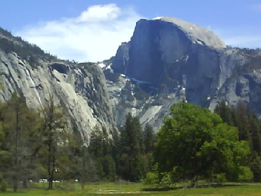
Half Dome, Yosemite NP
The 165 mile ride to San Francisco through the foothills and down into agricultural orange groves, walnut and almond plantations was better than expected from studying the map. There was a 45 mile or so section of interstate in the middle then the heavy city traffic built up approaching Oakland and the Bay Bridge leading into San Francisco.
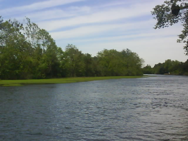
Lunch Stop In Park On Way To San Francisco

